

How we help in East London
Flood risk assessment quantifies hazard, exposure, and consequence so decision-makers can compare mitigation options with confidence. In June 2024, flash floods overwhelmed the stormwater system in low-lying areas such as Duncan Village and Parkridge, and in January 2022 floods killed seven people in Mdantsane and Duncan Village.
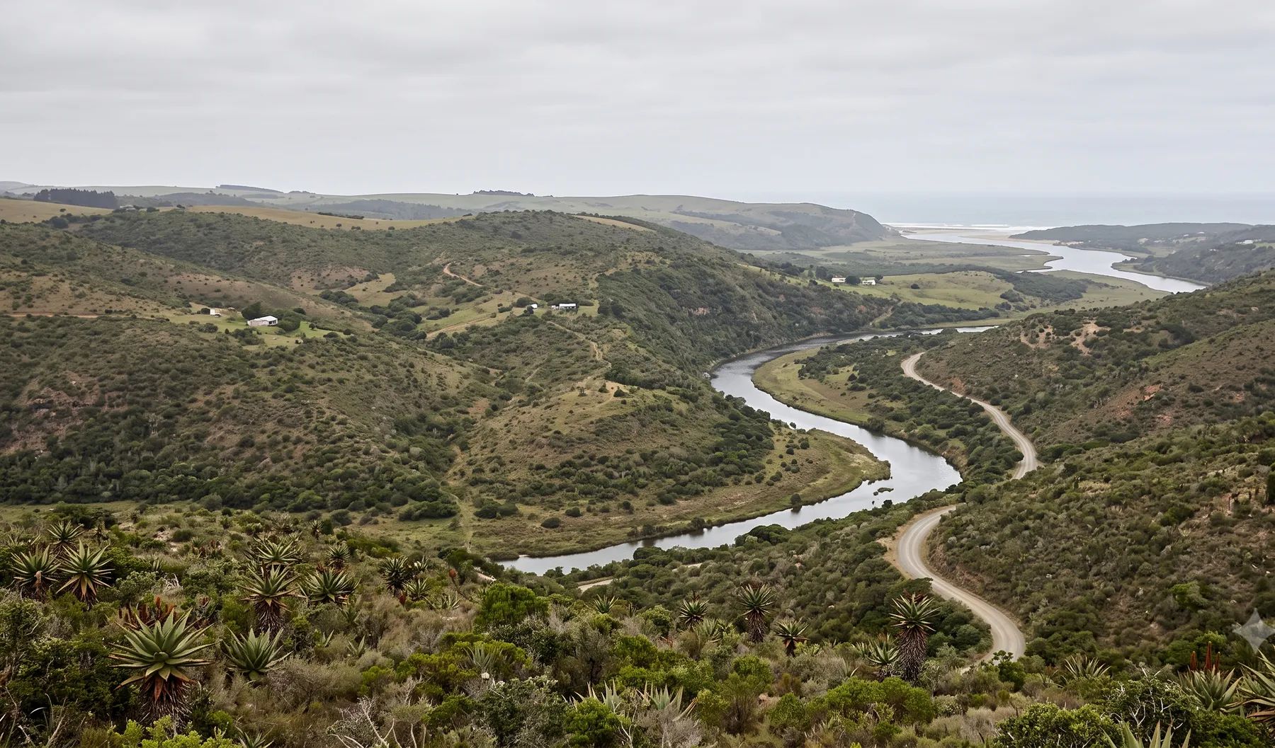
The Buffalo River runs to the city's estuary port, with the Nahoon, Gonubie, Quenera and Kwelera reaching the sea along the coast to the north-east. Our East London guide covers the rivers, recent floods and local rules in more detail.
When do you need this?
- Due diligence for acquisitions, financing, or insurance placement
- Comparing layout alternatives where flood mechanisms differ by option
- Safety and consequence studies for people, infrastructure, and the environment
- Post-event forensic review to separate pluvial, fluvial, and infrastructure causes
Full service detail
Methodology, deliverables, standards, and FAQs are maintained on the national service page—updated as regulations and municipal guidance evolve.
Read: Flood Risk Assessment in South Africa →Related services in East London
Further reading
- Building Near a River in South Africa: Every Law That Applies to Your Site
- How to Check if a Property Is in a Floodline: Municipal Flood Maps, City by City
- Floodline, Riparian Zone, 32 m or 100 m? The Lines That Control Building Near a River
- Who Must Assess Flood Risk? The Disaster Management Act and the Climate Change Act
Ready to brief a study?
Contact Delta HydroExploring in-house analysis? See deltahydro.tech .