

Blog
Practical notes for engineers, developers, and public-sector clients — flood risk, stormwater, dams, and water resources.
-
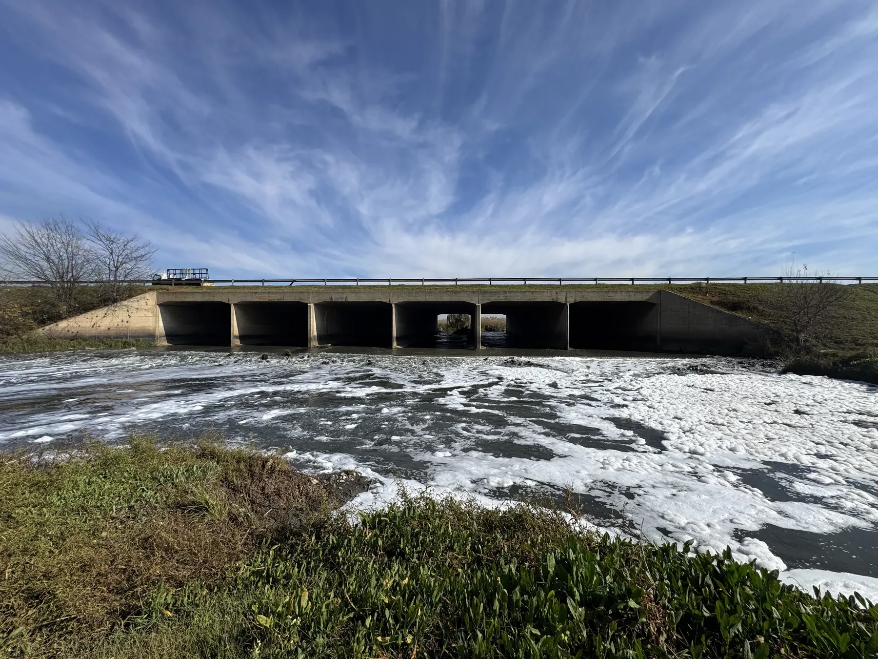
What Happens if You Build Inside a Floodline in South Africa?
2026-07-10
The consequences of building inside a floodline in South Africa — refused plans, enforcement, insurance and resale problems — and the legitimate ways forward.
-

How Much Does a Floodline Study Cost in South Africa?
2026-07-10
What drives the cost of a floodline study in South Africa — survey scope, modelling complexity, data availability — and how to get an accurate quote.
-
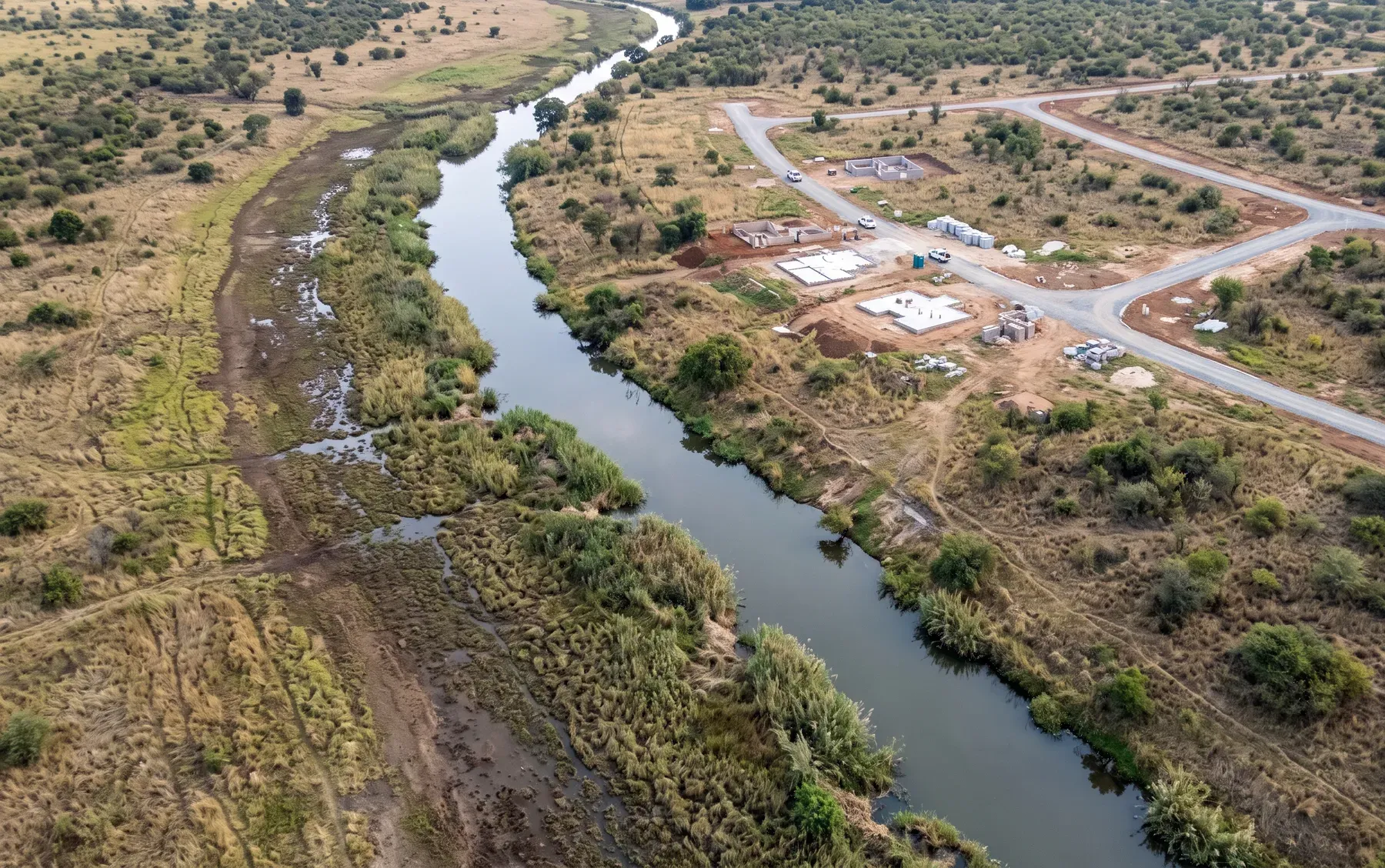
How Long Does a Floodline Determination Take? A Realistic Timeline
2026-07-10
A phase-by-phase timeline for a floodline determination in South Africa — what a realistic programme looks like, what speeds it up, and what causes delays.
-
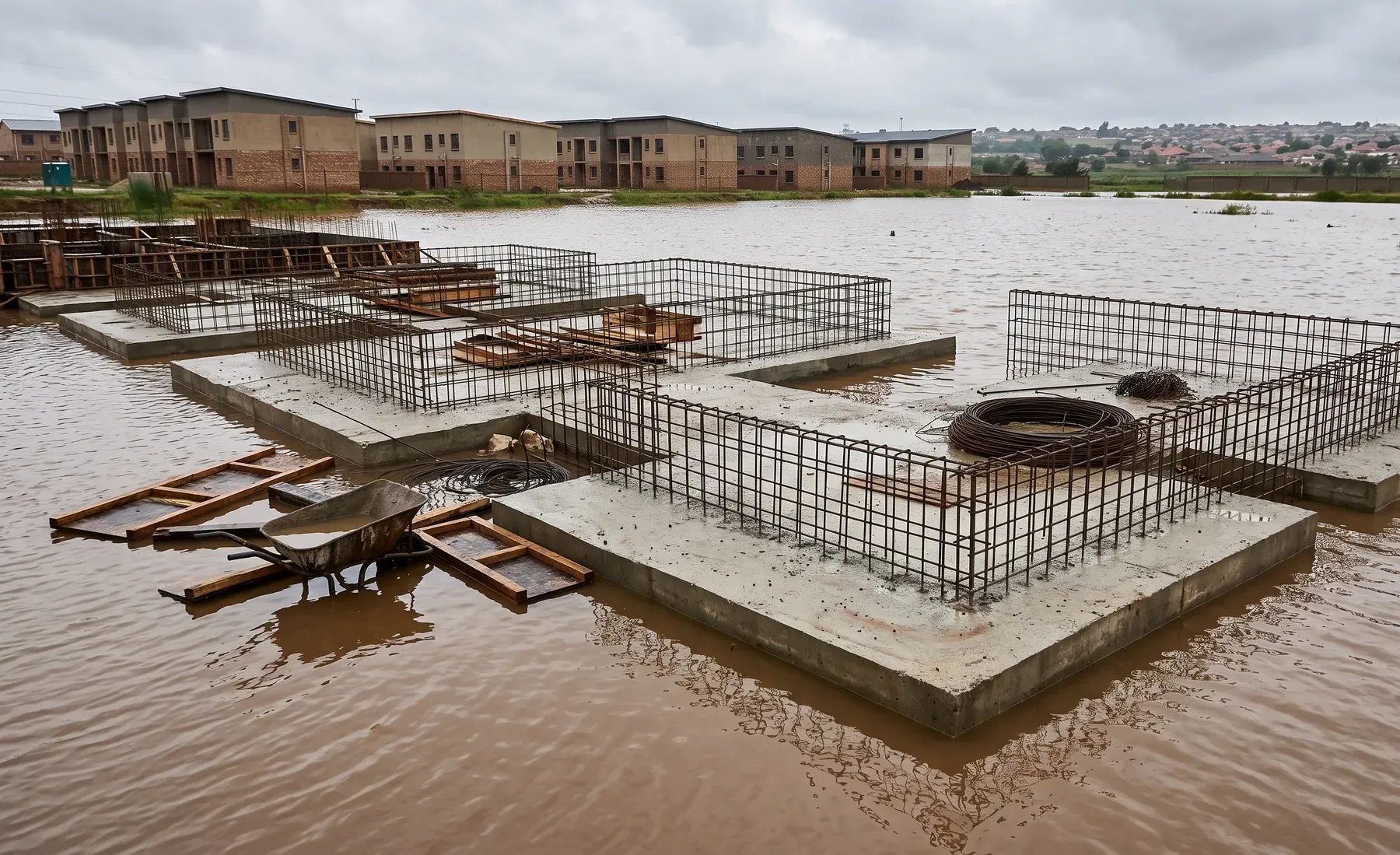
SANS 10400-H and Flood Risk: What It Means for Your Building Plan
2026-07-10
Where flood risk actually enters South African building approval — SANS 10400-H foundations, the Building Standards Act, the National Water Act, and floodlines.
-

Data Pipelines for Water Utilities: From Telemetry to Decision
2026-07-09
Water utilities collect telemetry constantly and use a fraction of it. A data pipeline is what turns raw sensor streams into clean, reliable information decisions can rest on. What one involves, and why it matters.
-

Flood Risk Assessment for Property Developers: When You Need One and What's Included
2026-07-07
When property developers need a flood risk assessment, how it differs from a full floodline study, and what a typical deliverable includes.
-

Dashboards for Municipal Stormwater Managers
2026-07-06
A stormwater dashboard turns scattered asset, capacity, and complaint data into a prioritised view a municipal manager can act on. What makes one useful rather than decorative — and where the value really sits.
-

How QGIS Plugins Accelerate Hydrological Workflows
2026-07-01
The repetitive, error-prone parts of hydrological and hydraulic work are exactly what a well-built QGIS plugin removes. Where custom plugins pay off, and why repeatability matters as much as speed.
-

Rezoning and Subdivision: Why a Floodline Comes Before Your Planning Submission
2026-06-30
If your site touches a watercourse, the 1:100-year floodline is usually a precondition for township establishment, subdivision, and rezoning — not an afterthought. Here is why, and when to commission it.
-
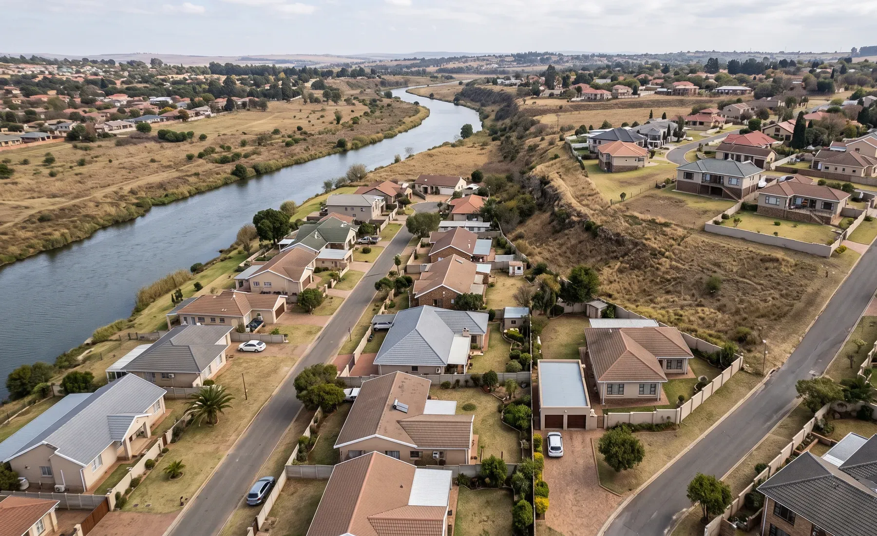
Property-Level Flood Scoring vs Catchment-Scale Hazard Layers: When Does Each Matter?
2026-06-26
Property-level flood scores and catchment-scale hazard layers answer different questions for underwriters. Here is what each is good for, where each misleads, and how they work together.
-

What a Defensible Floodline Study Looks Like (and What Reviewers Actually Check)
2026-06-23
The specific things a municipal or technical reviewer checks in a floodline submission, and how to make sure your study survives review the first time.
-

Post-Event Loss Modelling: From Flood Footprint to Portfolio Impact
2026-06-19
After a named flood event, insurers need a fast, defensible estimate of portfolio impact. A walkthrough of the cadence — footprint, exposure overlay, loss estimate, and refinement — and why speed and rigour need not conflict.
-

Choosing Between 1D and 2D Flood Modelling for Your Project
2026-06-16
When a 1D hydraulic model is enough, when you need 2D, and when a coupled 1D–2D approach is the right answer — a plain-language guide for South African projects.
-

Reinsurance-Grade Flood Loss Models in South Africa: What That Actually Requires
2026-06-12
The phrase "reinsurance-grade" gets used loosely. Here is what it actually demands of a flood loss model — hazard, exposure, vulnerability, and a defensible loss distribution — in the South African data context.
-

Who Determines a Floodline in South Africa, and How Do You Commission One?
2026-06-09
Who is qualified to carry out a floodline determination in South Africa, what to look for in a consultant, and how the commissioning process works.
-

Building a National Flood Hazard Map: What Goes Into It
2026-06-05
What actually goes into a national or portfolio-scale flood hazard map — the terrain, hydrology, hydraulic method, and calibration — and why the methodology behind the map matters more than the colours on it.
-
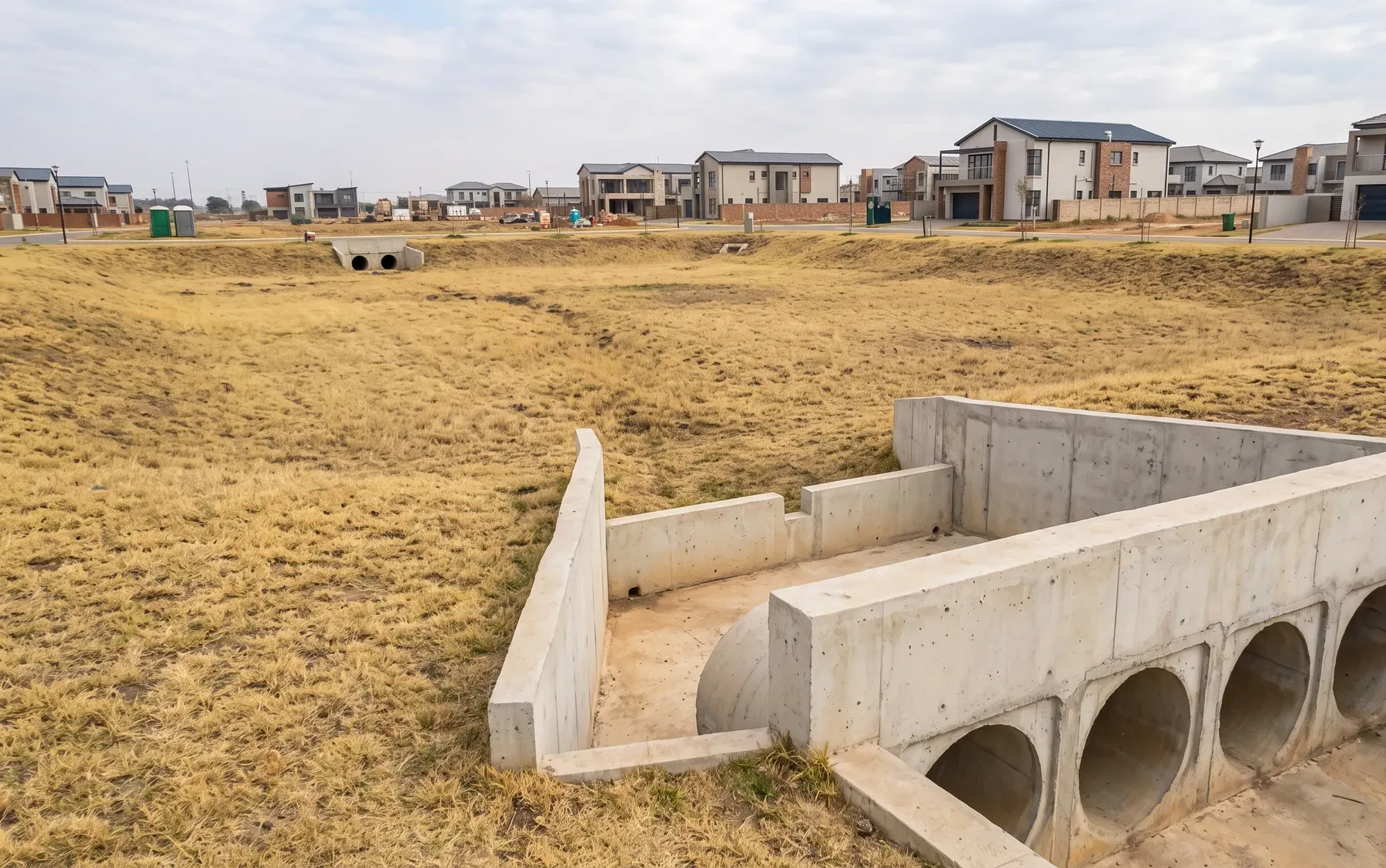
Detention vs Retention: Choosing the Right Stormwater Attenuation for Your Site
2026-06-02
Detention and retention solve different stormwater problems. Here is what separates them, when each is appropriate, and how the choice affects your layout, cost, and municipal approval.
-
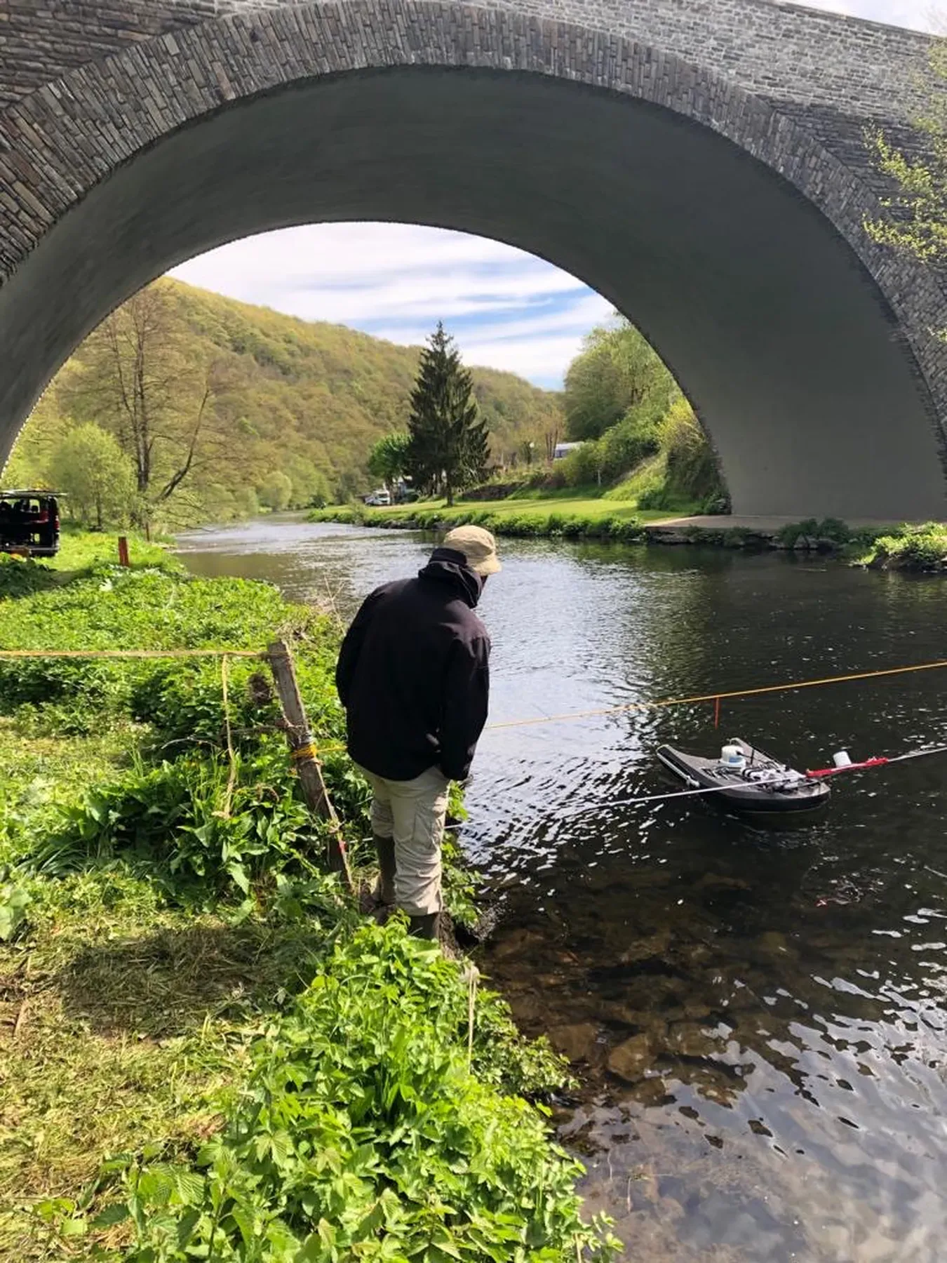
Bathymetric Surveys: Mapping What's Under the Water (and Why Models Depend on It)
2026-05-28
LiDAR and photogrammetry stop at the water surface — exactly where the flow is. A guide to bathymetric survey, when it changes the answer, and how it feeds hydraulic models and dam capacity studies.
-
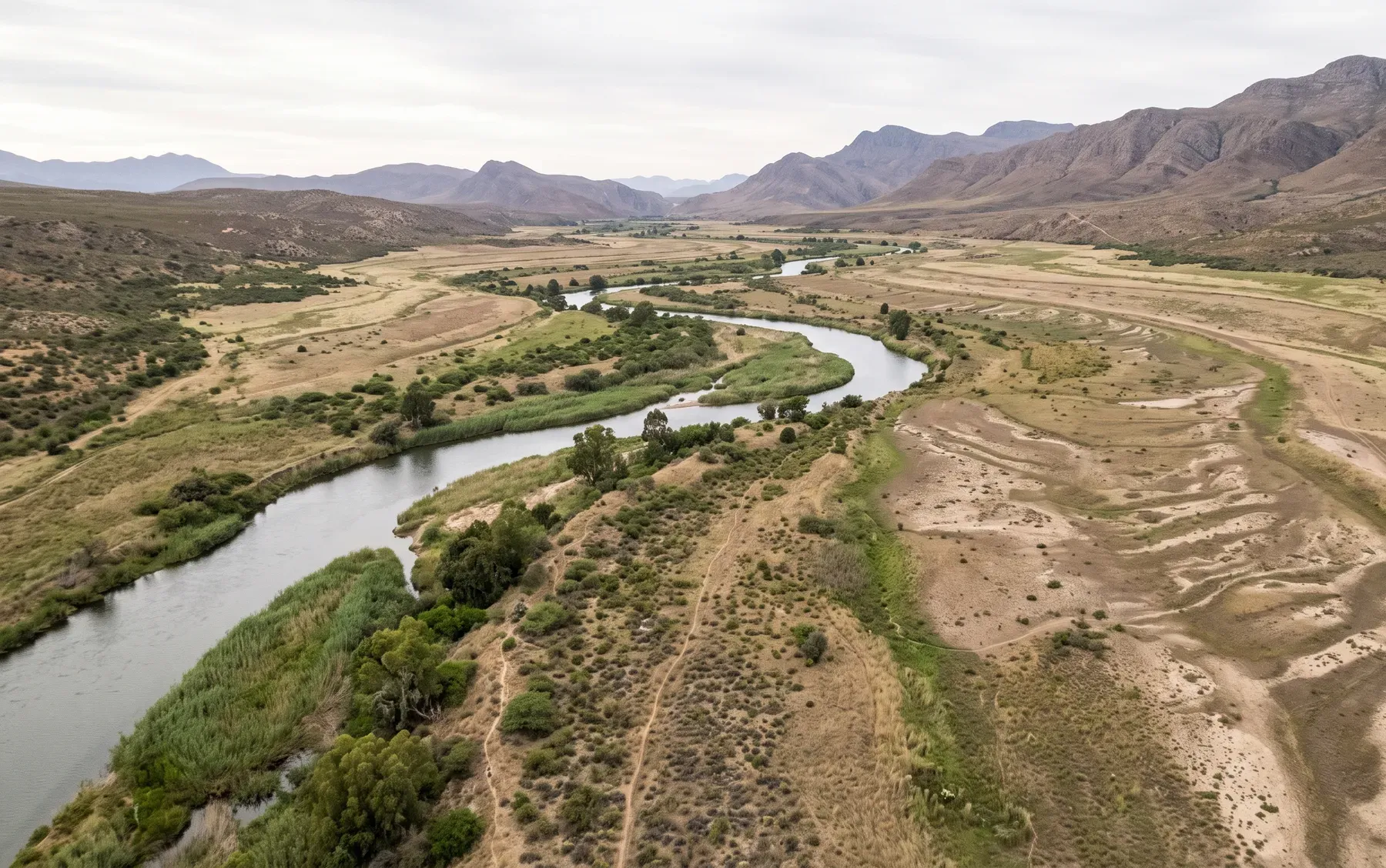
1:50 vs 1:100 Year Floodline: What's the Difference and Which Applies to You?
2026-05-26
What the 1:50 and 1:100 year floodline actually mean, why they differ, and how to know which design event your municipality expects.
-
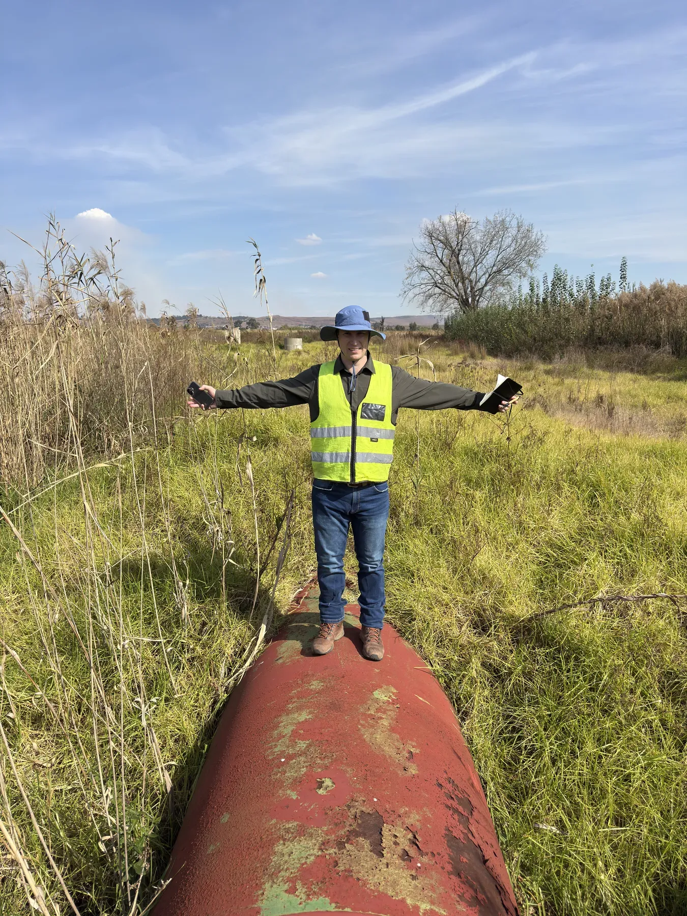
Pipelines and Services Crossing Rivers: Scour, Flotation and Flood Loading
2026-05-19
Floods take out pipeline crossings through bed scour, bank migration, flotation and debris impact. A guide to design flood, cover depth, protection options, and post-flood inspection.
-
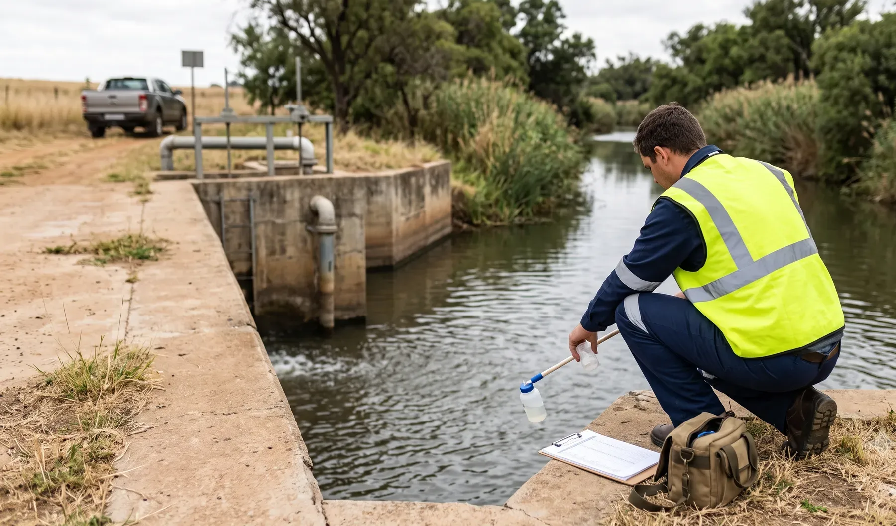
Crossing a Watercourse? When You Need a Section 21(c) & (i) Water Use Licence
2026-05-14
Culverts, pipelines, bridges and bank protection usually trigger Section 21(c) and (i) water uses under the National Water Act. Here is what that means, the General Authorisation vs full WULA decision, and the timeline.
-
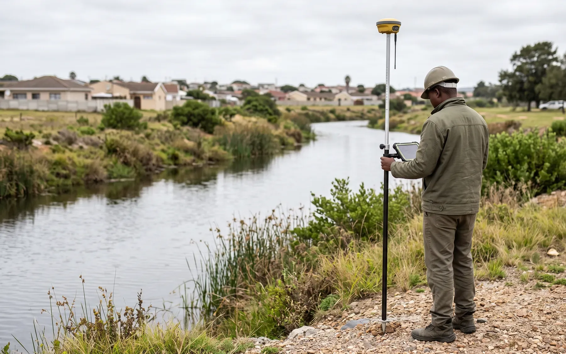
What Is a Floodline Study? A Plain-Language Guide for SA Property Owners and Developers
2026-05-12
What a floodline study actually shows, why it is required, and what to expect from the process — a practical guide for South African developers and property owners.
-
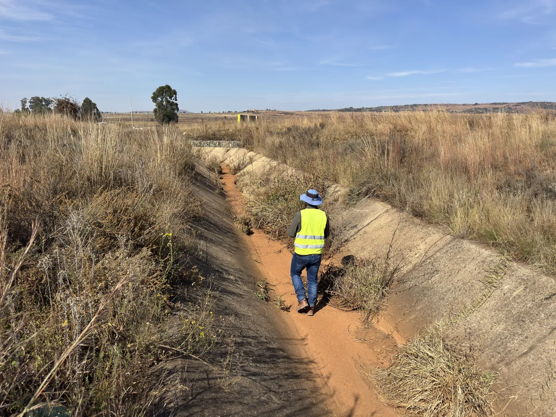
Silted-Up Stormwater Canals: How Sediment Quietly Erases Design Capacity
2026-05-05
A stormwater canal was designed for a section that no longer exists. Sediment and vegetation cut capacity by more than they cut area — here is why, how to quantify it, and who is liable when a "maintained" canal floods.
-
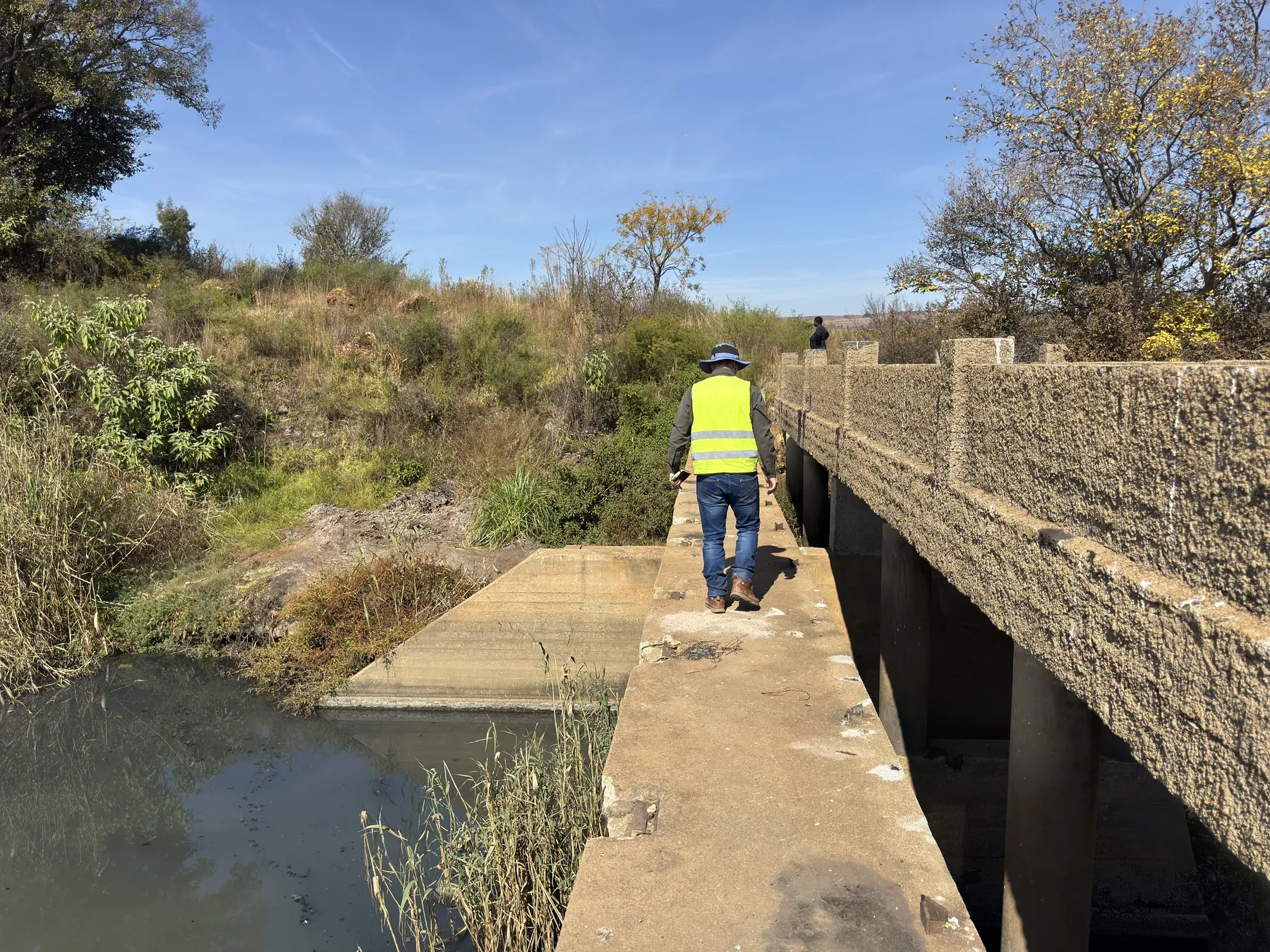
Bridge Waterway Assessments: Afflux, Freeboard and Scour Explained
2026-04-30
A bridge waterway assessment answers four questions — capacity, afflux, freeboard, and scour. Here is what each means in plain terms, how the assessment works, and the red flags owners can spot themselves.
-

Defending flood claims with independent hydraulic modelling
2026-04-25
Contested flood claims need an independent hydraulic view. Modelled extents at date of loss, evidence assembly, and honest uncertainty bounds in a dispute.
-
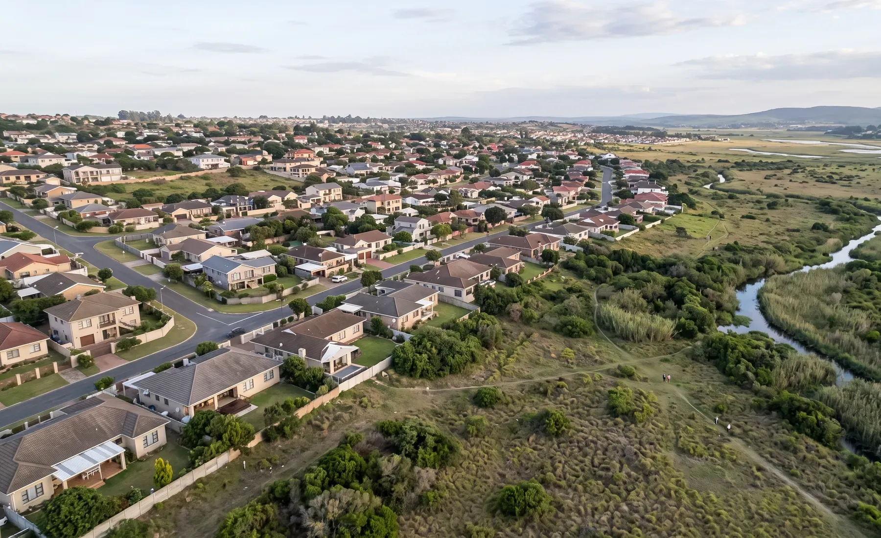
Quantifying flood exposure across an insurance portfolio
2026-04-25
How portfolio exposure quantification works — from a property list to annual loss, accumulation, and coverage gaps an auditable methodology surfaces.
-

What is flood risk intelligence? A guide for South African insurers
2026-04-25
Flood risk intelligence for underwriting, accumulation, claims, and reserves. A primer for SA insurers — what it is, what to demand, and what to ignore.
-
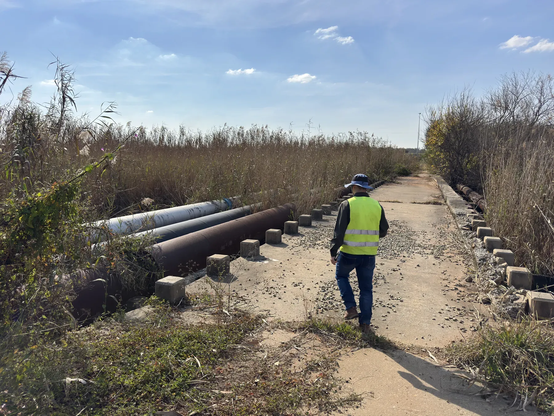
Low-Level River Crossings: Designing for Overtopping, Debris and Safety
2026-04-20
Low-level crossings are the right economic answer in the right place — if you design honestly for overtopping frequency, debris, downstream scour, and safety. A guide for rural and municipal roads.
-
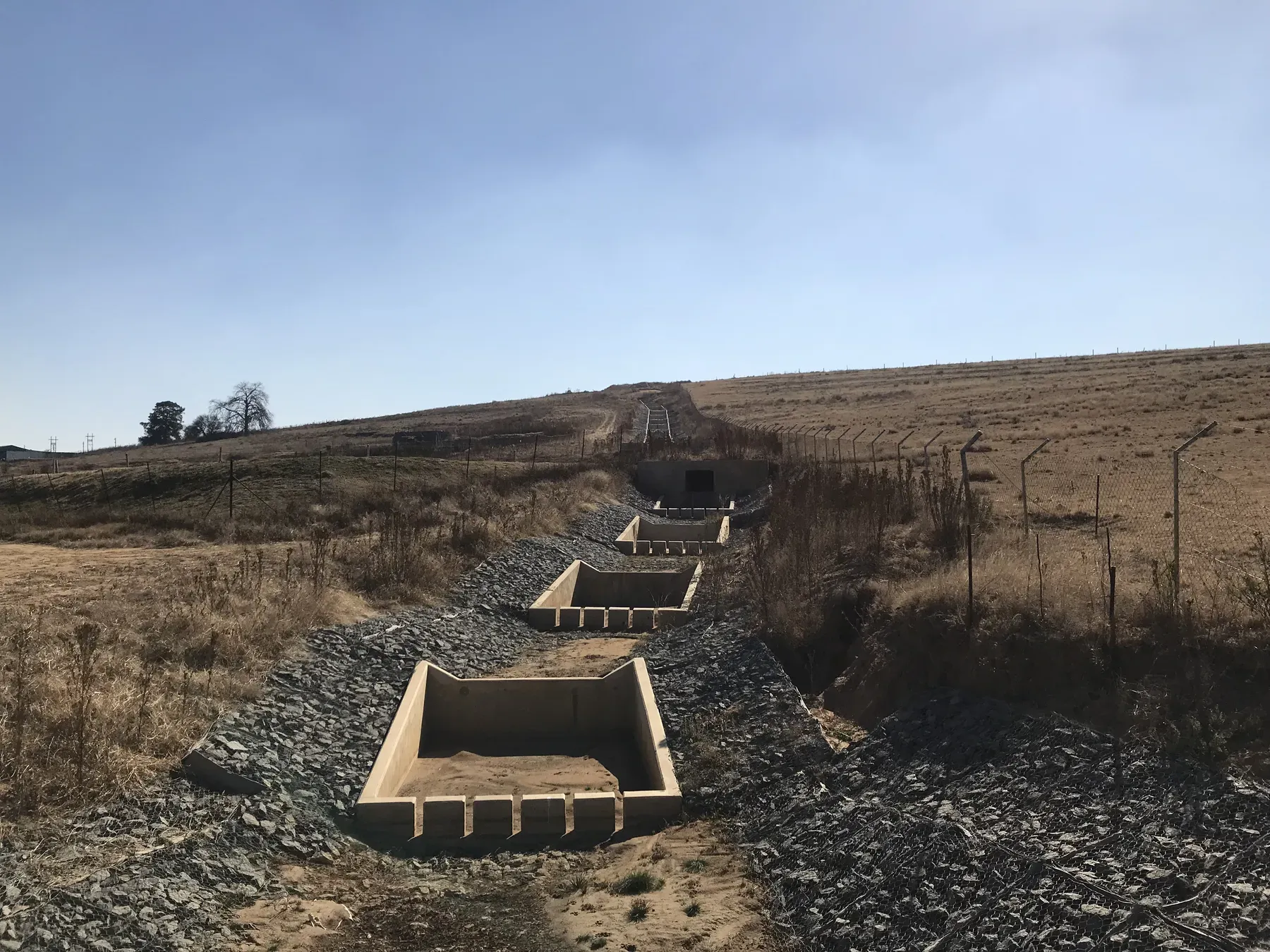
Energy Dissipators: Slowing Water Down Before It Destroys Your Channel
2026-04-15
At a culvert or spillway outlet it is velocity, not volume, that does the damage. A guide to the options ladder — riprap aprons, impact structures, stilling basins, and stepped chutes — and when each fits.
-
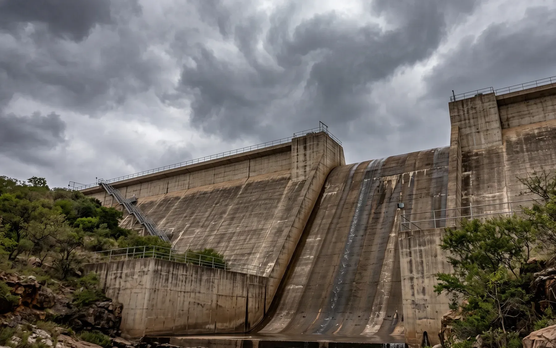
PMF vs RMF: Which Applies to Your Dam?
2026-04-10
A plain-language overview of extreme flood concepts for dam safety in South Africa—and when to engage specialists early.
-

Stormwater Management Plans: SA Municipal Requirements Explained
2026-04-05
How stormwater management plans fit municipal approvals, what reviewers look for, and how to avoid common rework.
-
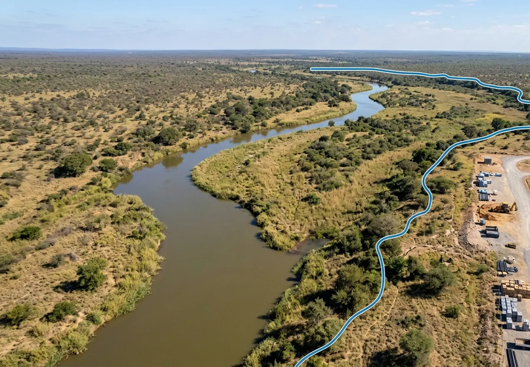
Floodline Determination in South Africa: What You Need to Know
2026-04-01
A practical guide to floodline studies for planning approvals: standards, deliverables, and how to brief your engineer.
-
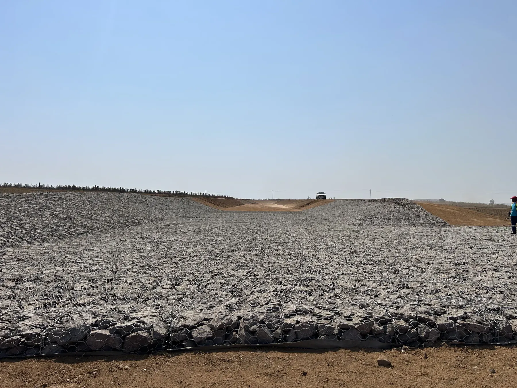
Gabions vs Reno Mattresses vs Riprap: Choosing Channel and Bank Protection
2026-03-27
Gabions, Reno mattresses, and riprap protect channels and banks in different ways, with different velocity limits, costs, and maintenance realities. A plain decision guide for South African conditions.
-
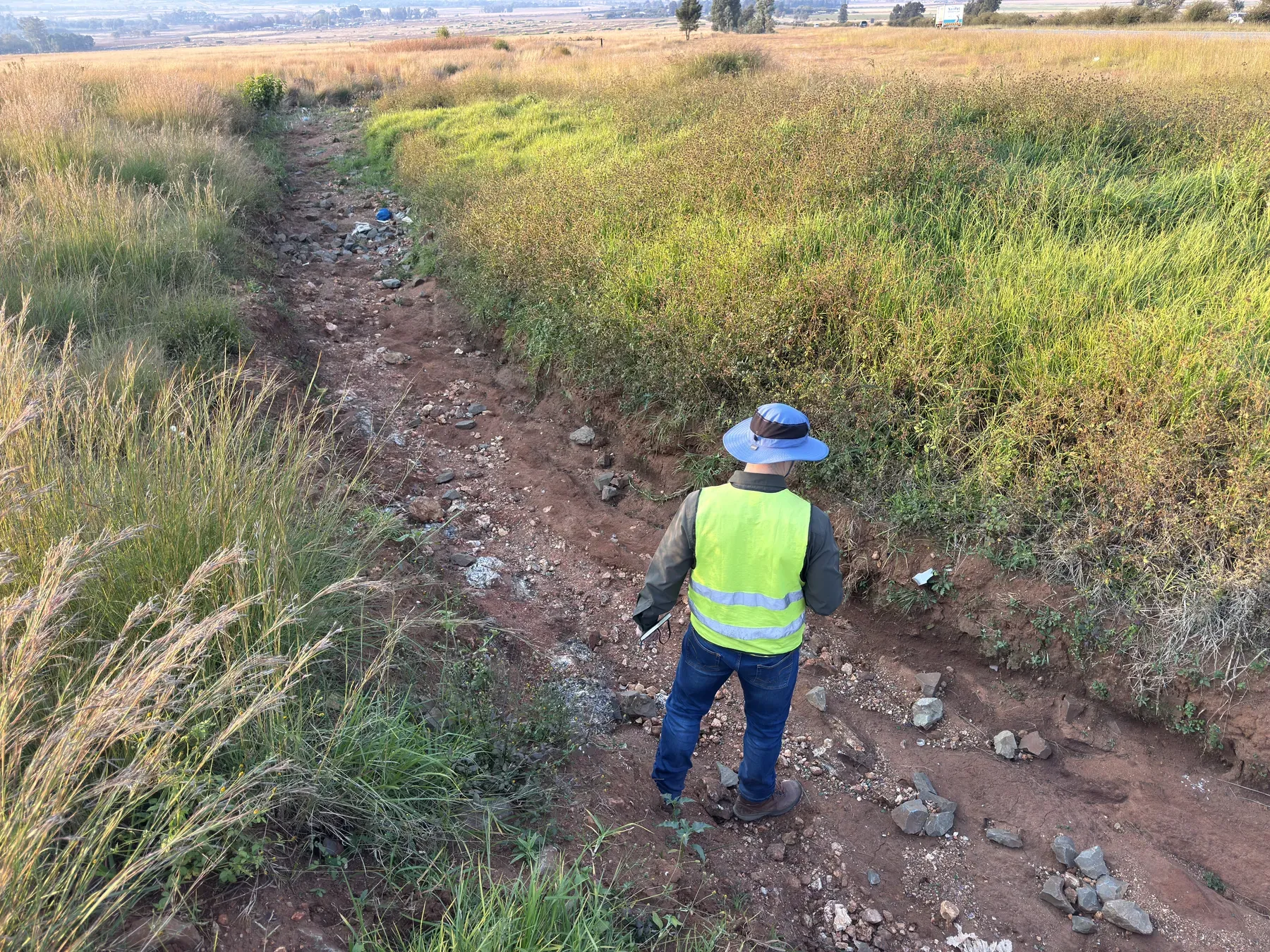
Why Erosion Protection Fails: Field Lessons from Riprap and Gabion Failures
2026-03-20
Erosion protection rarely fails in the middle of a panel — it fails at edges, toes, and terminations, or because the filter layer was skipped. Field lessons from real riprap and gabion failures.
-
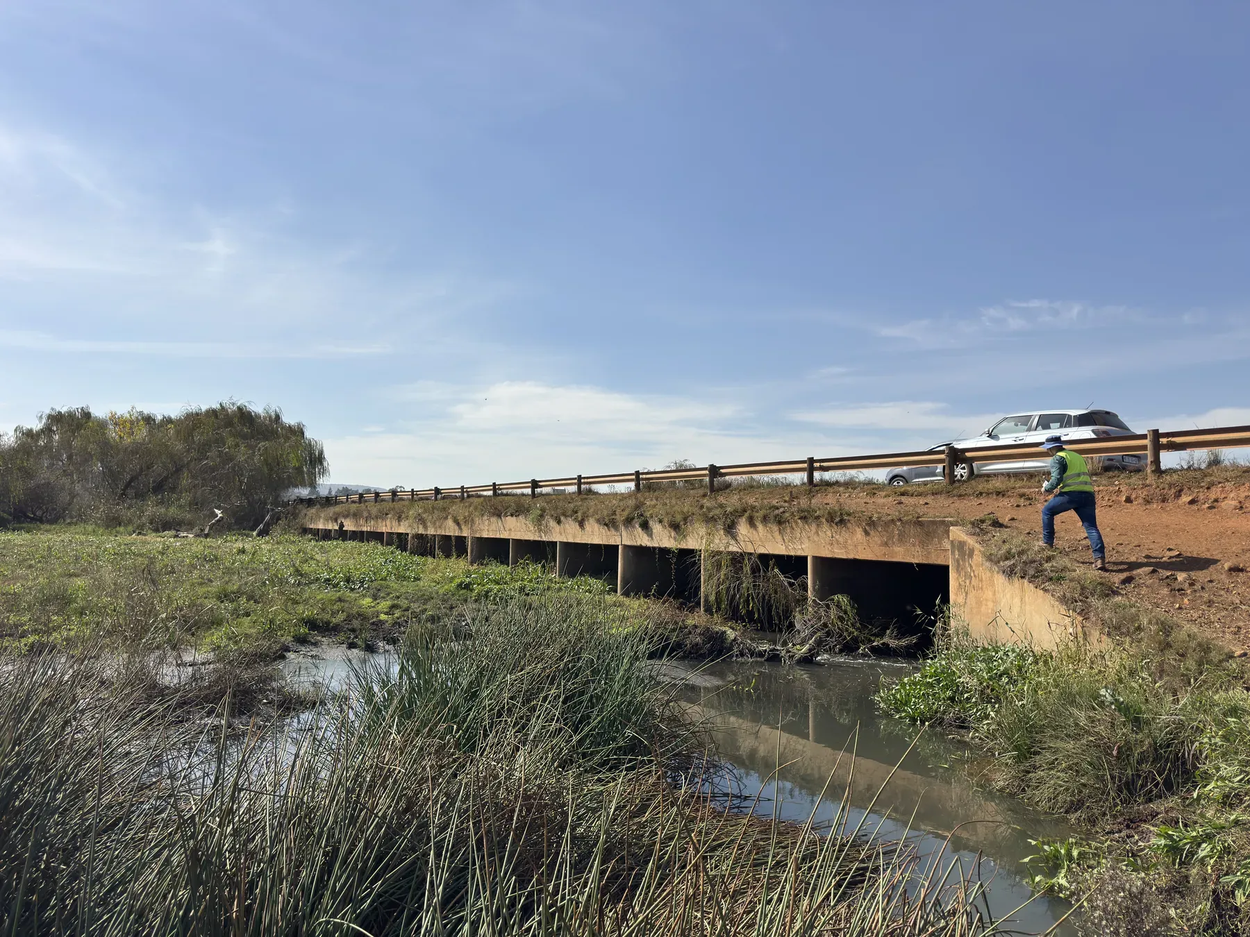
What We Find When We Inspect Culverts: Common Defects That Quietly Erase Capacity
2026-03-13
A culvert can lose much of its design capacity without any visible collapse. Here are the defects we find most often on site, how a capacity check works, and who pays when a "fine" culvert floods.
-
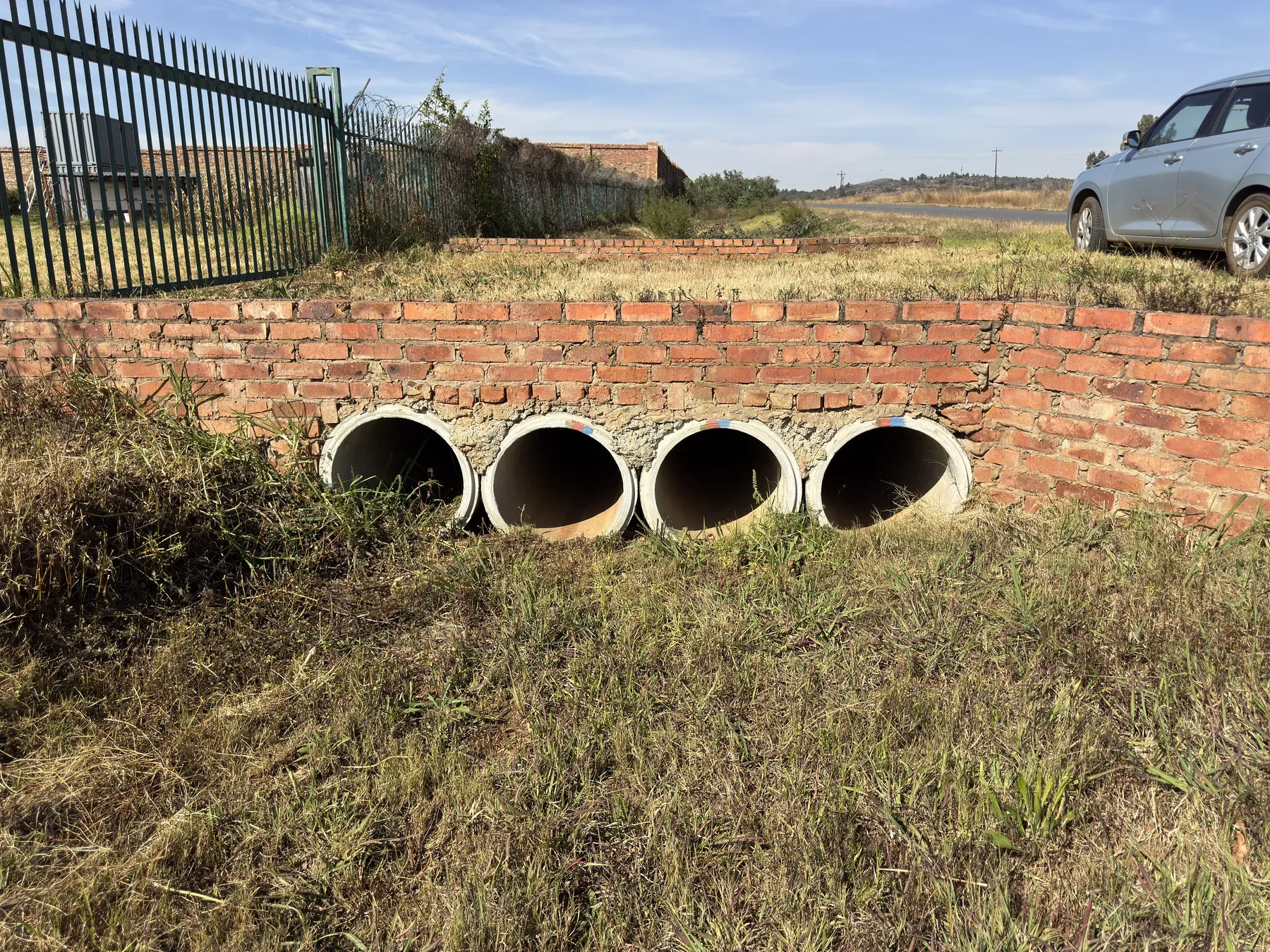
How Culvert Sizing Actually Works (and Why "Just Add Another Pipe" Fails)
2026-03-06
Culvert sizing is not about picking a big enough pipe — it is about inlet versus outlet control, allowable headwater, and what happens downstream. A field-based guide for South African roads and developments.