

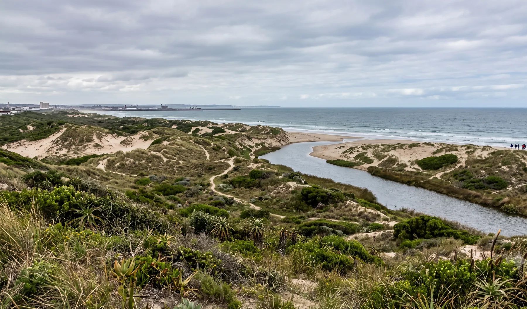
Most flood studies in Nelson Mandela Bay are on the Swartkops River system, which runs through Kariega and Despatch to its estuary at Swartkops and Amsterdamhoek, and on the Baakens, which reaches the sea through the city centre. The June 2024 floods in Kariega killed at least ten people, and the Municipality estimated the damage at about R1.1 billion. The Municipality can prohibit or set conditions on buildings between the 50- and 100-year floodlines, and its new spatial development framework calls for no development inside the 1:100-year line, plotted with projected rather than historical rainfall.
Rivers that shape flood risk in Nelson Mandela Bay
Loading map…
| River | Where it runs | What matters for flood studies |
|---|---|---|
| Swartkops River | Rises with its main tributary, the Elands, in the Groot Winterhoek mountains and runs through Kariega and Despatch to the sea at Swartkops | Bridges across the estuary hold back floodwater, so levels upstream of them run higher in a flood; homes at Swartkops Village, Redhouse and Amsterdamhoek sit on the estuary edge |
| Brak River | Through KwaNobuhle into the Swartkops | The Matanzima Road bridge collapsed in the June 2024 floods |
| Kruisrivier and Nivens River | Kariega | Bridges damaged in June 2024 broke up again in October 2024 |
| Chatty River | Flows directly into the Swartkops estuary at Swartkops | Narrowed by the saltpans at Veeplaas; now functions largely as a storm and sewage drain |
| Motherwell and Markman canals | Engineered stormwater channels into the Swartkops estuary | Collapsed stormwater drains flooded the Markman industrial area in October 2024 |
| Baakens River | From the western suburbs through the valley to the city centre and harbour | Its lower reach is canalised; it flooded in 1968, 1981 and 2006 |
Rain falls all year with no clear seasonal pattern: about 590 mm a year at the airport (WMO normals, 1991–2020). The May 2026 floods came from a cut-off low that pulled moist air in from the Indian Ocean. The Swartkops estuary also takes storm surges from the sea, recorded in September and December 2008 and June 2009.
Recent floods
- May 2026. A cut-off low on 5 to 8 May: more than 1 000 residents were evacuated and Impofu Dam filled for the first time since 2016 (SAnews).
- October 2024. More than 100 mm fell in places. Willow Dam in Kariega overflowed, bridges broke up and the Lapland informal settlement flooded (Daily Maverick); four people died (The Herald).
- June 2024. The Kariega weather station measured 226 mm on 1 and 2 June (Daily Maverick). Ten people died, and the Municipality put the damage at about R1.14 billion, with 2 649 residents affected (Nelson Mandela Bay). It was declared a national disaster (Notice 4963 of 2024).
- May 2023. More than 1 200 people fled their homes (eNCA).
- September 1968. The worst flood on record: 468 mm fell by the next morning (The Herald).
Floodline and stormwater rules in Nelson Mandela Bay
- Land Use Scheme 2023, clause 56. The Municipality may prohibit buildings, or set conditions, within the 50- to 100-year floodline, which it determines on the existing and foreseeable future development of the catchment.
- Land use applications. The application form lists a “flood line determination and/or report” as a supporting document.
- Clause 48(1). Stormwater from a roof or building may not be discharged directly onto the neighbouring property.
- Metropolitan Spatial Development Framework 2026. No development within the 1:100-year line, floodlines plotted with projected rather than historical data, 32 m river setbacks and 100 m wetland buffers.
- Stormwater by-law. Still a 2009 draft, so stormwater conditions are set case by case.
See climate change and floodlines, pre- vs post-development floodlines and whether your development will flood your neighbours.
Where to find an existing floodline
The Municipality’s public viewer is property-focused and shows no flood layer; its free data downloads include 5 m contours but no floodlines. A static 2015 map image shows 50- and 100-year lines, which is useful context but not a line to design to. The Swartkops environmental management plan records flood levels up to 4 m above mean tide in the upper estuary and 1.7 m in the lower, and warns that development below the 1:100-year floodline remains at risk. Our guide on checking whether a property is in a floodline covers what to look for on record.
Approvals beyond the Municipality
Nelson Mandela Bay falls in the Mzimvubu-Tsitsikamma water management area. Its catchment management agency became operational in 2025, and its water use authorisation directorate is in East London. Applications are made online through the Department of Water and Sanitation’s e-WULAAS system. Our guide to getting permission to build in a floodplain sets out the order of approvals.
What to settle early on a Nelson Mandela Bay site
- Future rainfall. The spatial development framework asks for floodlines plotted with projected data, so agree the climate allowance before modelling.
- Bridges and culverts. Kariega lost several bridges in 2024; their condition and blockage risk change flood levels upstream.
- Estuary levels. Near the Swartkops estuary, a high tide or storm surge can coincide with a river flood.
- Dams upstream. Groendal and the smaller Kariega dams such as Willow Dam affect the design flood below them.
To brief a study, see our floodline determination and flood risk assessment services, or send us the site. You can drop a pin on the map in the contact form.
Local rules, rivers and flood records checked October 2026 by Robert Fortuin . Rules change, so confirm them with the municipality before relying on them.
Documents referenced
Links go to official government copies wherever one is published online. Check for amendments before relying on a specific clause.
- Nelson Mandela Bay Land Use Scheme 2023 (Provincial Gazette 4981)By-law · Nelson Mandela Bay Metropolitan Municipality
- Metropolitan Spatial Development Framework 2026Policy · Nelson Mandela Bay Metropolitan Municipality
- Land use application formGuideline · Nelson Mandela Bay Metropolitan Municipality
- Swartkops Integrated Environmental Management Plan (2009)Guideline · Nelson Mandela Bay Metropolitan Municipality (Enviro-Fish Africa)
Services available in Gqeberha
Each link opens a brief for that service in Gqeberha: regional context, typical drivers, and how we would approach a study in the area.
- Floodline Determination
- Flood Risk Assessment
- Stormwater Management Plans
- Drainage Design
- Hydrological Studies
We take on the rest of our services in Gqeberha too.
Beyond consulting in Gqeberha
Our work in Gqeberha fits into a broader practice: flood risk intelligence for insurers, custom software for water teams, and dedicated sector hubs covering the audiences we serve.
Flood Risk Intelligence
Hazard maps, portfolio exposure, claims-dispute support, and post-event loss modelling.
Explore offerings
Custom Software
QGIS plugins, dashboards, data pipelines, bespoke applications — built around your workflow.
Explore offerings
Sectors we work with
Insurance, mining, municipalities, developers, consulting engineers, and roads & rail.
All sectors
Talk to an engineer about work in Gqeberha
Get in touch