

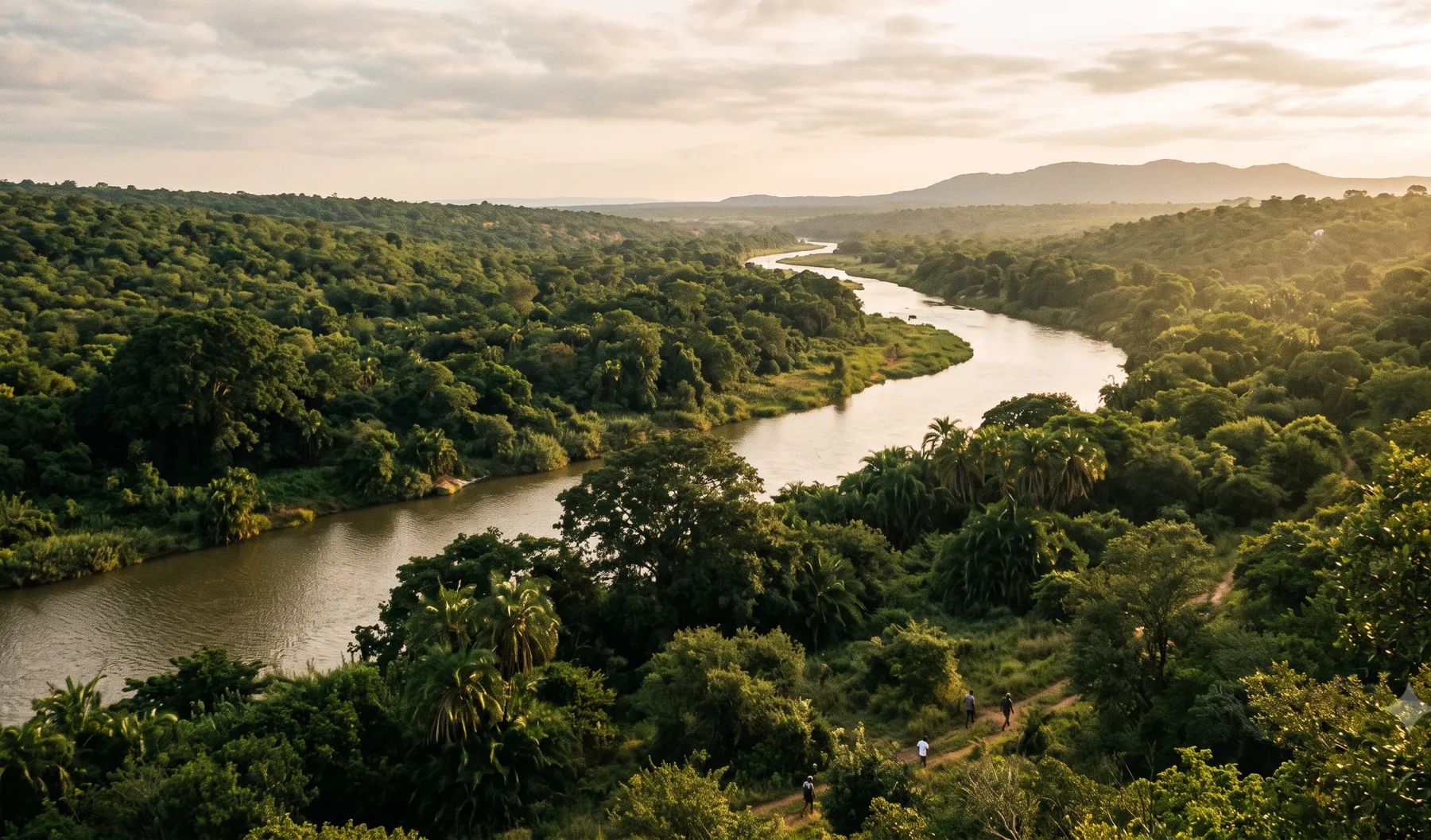
Mbombela sits on the Crocodile River below the Drakensberg escarpment, with the Nels and White rivers joining it downstream of the city. Summer storms and the occasional tropical system can lift these rivers fast, and the City’s own integrated development plan says almost 39% of households have built houses on wetlands and flood lines. The land use scheme bars development within the 1:100-year floodline, or within a 32 m riparian buffer inside the urban edge, without provincial environmental consent. Township layouts need a floodline certificate.
Rivers that shape flood risk in Mbombela
Loading map…
| River | Where it runs | What matters for flood studies |
|---|---|---|
| Crocodile River | Rises in the Steenkampsberg above 2 000 m and runs through Kwena Dam and Schoemanskloof to Mbombela, then east along the southern boundary of the Kruger National Park to Komatipoort | Its catchment is about 10 450 km²; runoff and waste from the city affect its health downstream |
| Nels River | Joins the Crocodile at the Lowveld National Botanical Garden, where the confluence can be seen from a viewpoint | Recorded its second-highest level at the Boschrand gauge in February 2023 |
| White (Wit) River | Joins the Crocodile downstream of the city | Klipkopjes, Longmere and Primkop dams are on it |
| Gladdespruit | Joins the Crocodile upstream of the city | Next to the city’s first large water purification plant |
| Kaap River | From the Barberton area to the Crocodile upstream of Matsulu | Gauged at Dolton |
Rainfall changes sharply across the municipality, from 1 104 to over 1 400 mm a year around Ngodwana, Kaapsehoop and Elandshoek to 400 to 600 mm in the east (IDP 2026/27). Most falls between November and March, often in tropical storms.
Recent floods
- January 2026. A national state of disaster was declared on 17 January after floods across five provinces; 20 people died in Mpumalanga, and damage was confirmed in Mbombela (IFRC).
- February 2023. The Nels River reached its second-highest recorded level at the Boschrand gauge (DWS flood peaks).
- February 2021. After Tropical Storm Eloise, KaNyamazane was the worst affected part of Mbombela, with roads and bridges collapsing and houses washed away (News24).
- February 2000. Cyclone Eline brought the highest level on record at the Crocodile River gauge at Karino (DWS flood peaks).
- February 1996. The largest peak in the Crocodile River record at Weltevrede (1969 to 2026), about 1 570 m³/s (DWS flood peaks).
The IDP says the Nsikazi corridor and Matsulu are moderately to highly vulnerable to flooding because of where they are in relation to floodlines.
Floodline and stormwater rules in Mbombela
- Land Use Scheme 2019, clause 6.8.1. No development within the 1:100-year floodline, or within a 32 m riparian buffer inside the urban edge (100 m outside it), without provincial environmental consent.
- Clause 5.17.2(d). No building below the 1:100-year line unless the City approves the construction method.
- Spatial planning by-law. Township layout plans need a floodline certificate; the 2025/26 user guide adds subdivision, consolidation and farm rezoning.
See permission to build in a floodplain, the lines that control building near a river and freeboard and floor levels.
Where to find existing flood information
Mbombela publishes no floodline viewer. Its wetland inventory, finalised in 2019/20, mapped 2 734 wetlands, and the City has commissioned flood-alleviation studies for the Tekwane, Kanyamazane and Msogwaba catchments and a river and stormwater management programme that includes hydrological modelling. The Department of Water and Sanitation’s gauges on the Nels (Boschrand), Crocodile (Karino) and Kaap (Dolton) give recorded flood peaks to calibrate a study against.
Approvals beyond the City
Mbombela is the home of the Inkomati-Usuthu Catchment Management Agency, at 20 Paul Kruger Street, which has had delegated authority to issue water use licences. Applications are made online through the Department of Water and Sanitation’s e-WULAAS system, and environmental consent inside the floodline or riparian buffer comes from the Mpumalanga environment department. Our guide to getting permission to build in a floodplain sets out the order of approvals.
What to settle early on a Mbombela site
- Wetlands as well as floodlines. With thousands of wetlands mapped, the riparian buffer can govern before the floodline does.
- Which buffer. The 32 m buffer applies inside the urban edge and 100 m outside it.
- Construction method. Building below the 1:100-year line needs the City to approve how it is built, so bring the engineering into the application early.
- Tropical storms. Rare tropical systems like Eline and Eloise set the flood record here; a design flood should be checked against them.
To brief a study, see our floodline determination and flood risk assessment services, or send us the site. You can drop a pin on the map in the contact form.
Local rules, rivers and flood records checked October 2026 by Robert Fortuin . Rules change, so confirm them with the municipality before relying on them.
Documents referenced
Links go to official government copies wherever one is published online. Check for amendments before relying on a specific clause.
- City of Mbombela Land Use Scheme 2019By-law · City of Mbombela
- Integrated Development Plan Review 2026/27Policy · City of Mbombela
- State of Rivers Report: Crocodile, Sabie-Sand and Olifants river systemsGuideline · Department of Water Affairs and Forestry, River Health Programme
- Spatial Planning and Land Use Management By-lawBy-law · City of Mbombela
- User guide: applications in terms of the Spatial Planning and Land Use Management By-law (2025/26)Guideline · City of Mbombela
Services available in Mbombela
Each link opens a brief for that service in Mbombela: regional context, typical drivers, and how we would approach a study in the area.
- Floodline Determination
- Flood Risk Assessment
- Stormwater Management Plans
- Drainage Design
- Hydrological Studies
We take on the rest of our services in Mbombela too.
Beyond consulting in Mbombela
Our work in Mbombela fits into a broader practice: flood risk intelligence for insurers, custom software for water teams, and dedicated sector hubs covering the audiences we serve.
Flood Risk Intelligence
Hazard maps, portfolio exposure, claims-dispute support, and post-event loss modelling.
Explore offerings
Custom Software
QGIS plugins, dashboards, data pipelines, bespoke applications — built around your workflow.
Explore offerings
Sectors we work with
Insurance, mining, municipalities, developers, consulting engineers, and roads & rail.
All sectors
Talk to an engineer about work in Mbombela
Get in touch