

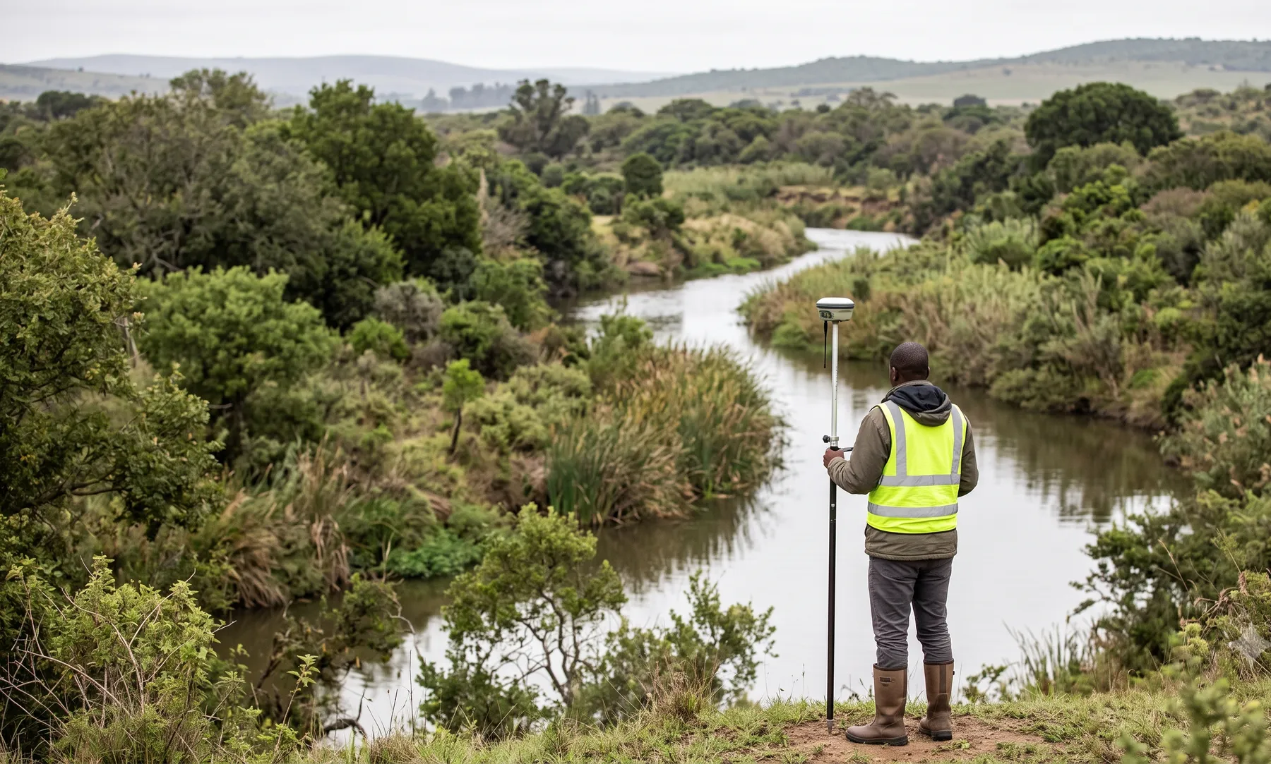
What is floodline determination?
Floodline determination maps the extent of flood hazard for a defined design event so decision-makers can see where water goes, how deep it gets, and what that implies for safe development and infrastructure.
In South Africa, credible floodlines combine defensible hydrology with peer-reviewable hydraulics. Outputs are used in municipal comment, land-use applications, and multidisciplinary design coordination.
From brief to registered floodline
We align the mapping purpose (rezoning, subdivision, bridge waterway, internal governance) with the planning standard — and, where a watercourse is regulated under the National Water Act, the Department of Water and Sanitation’s requirements — before building geometry, so downstream disciplines are not iterating on moving targets. Hydrology defines peaks and lateral contributions; hydraulics tests structures, ineffective-flow areas, and tailwater; GIS/CAD exports match the coordinate system and layer naming your town planner or roads engineer expects.
Review-ready handover
Deliverables are packaged so a second professional can reopen the model, verify boundary conditions, and trace inundation extents back to rainfall, losses, and structure assumptions. Data limitations (topo vintage, gauge length, as-built gaps) are stated explicitly with implications for conservatism in the mapped extent.
What we typically need from you
- CAD/GIS backgrounds, aerial photography, and recent survey or LIDAR for the model reach
- Municipal flood or stormwater policy references (by-laws, GDDF notes, or written requirements)
- Design event / return period expectations from planning or roads authorities
- Known structures, berms, encroachments, or debris conditions that could change conveyance
Where we add technical depth
- Hydrology assumptions traced to each hydraulic scenario and mapping slice
- 1D/2D mesh and scheme choices documented, with sensitivity where reviewers expect it
- Clear distinction between planning floodline, operational, and residual-risk interpretations when multiple apply
- Assumptions register and figures formatted for municipal, environmental, or internal peer review
When do you need this?
- Rezoning, subdivision, or land-use applications requiring mapped flood hazard
- Road/bridge crossings and services within watercourse buffers
- Insurance, lending, or internal governance requiring mapped extents
- Post-flood rebuild where credible hydraulics must be demonstrated
Our approach
- 1
Confirm standard & outputs
Align the design event, mapping purpose, and municipal expectations before modelling to avoid rework.
- 2
Hydrology & boundaries
Develop flows and boundary conditions with documented station context and catchment assumptions.
- 3
Hydraulic modelling
Use 1D/2D models as required; test sensitivities; map depths, velocities, and extents for planning overlays.
- 4
Deliverables & review pack
Provide GIS/CAD floodlines, assumptions register, and figures suitable for professional review.
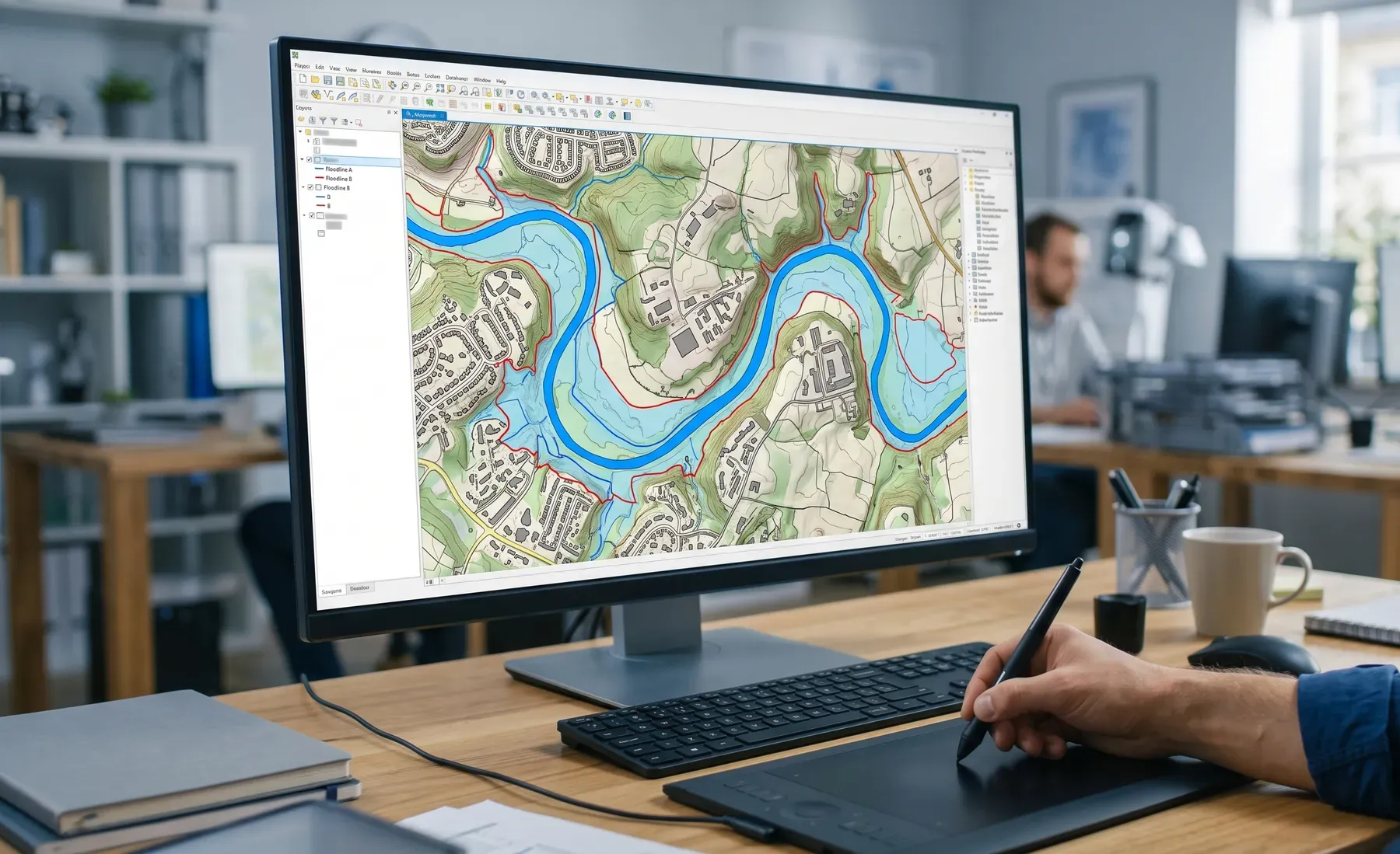
What you'll receive
- Hydrology memorandum
- Hydraulic modelling notes and results
- Floodline mapping (GIS/CAD)
- Figures for municipal/environmental processes
Relevant SA standards
- SANRAL TRH drainage series (road corridor contexts)
- Municipal stormwater / flood policies (region-specific)
- DWS watercourse considerations where applicable
- NEMA alignment for environmental processes
FAQ
Which return period applies?
It depends on the municipality and application type. We confirm the required planning standard up front.
Can you update an older floodline?
Yes—provided we can verify topography, structures, and model quality; we document changes transparently.
Do you include climate change factors?
Where the brief requires sensitivities, we can test agreed rainfall or loss adjustments and present scenarios.
What files do we receive?
Typically GIS/CAD layers, report, and key model excerpts suitable for reviewers and designers.
How quickly can you deliver?
Timing depends on model extent and data availability; we propose a schedule after scoping.
Author
Robert FortuinAreas we serve
We prepare location-specific briefs for major centres across South Africa — see locations.
Related services
Related reading
- DEM and LiDAR Accuracy: Why Terrain Data Makes or Breaks a Flood Model
- The SCS-SA Method Explained: Curve Numbers for South African Catchments
- What Is a 100-Year Flood? Return Periods and AEP Explained
- Choosing Between 1D and 2D Flood Modelling for Your Project
- 1:50 vs 1:100 Year Floodline: What's the Difference and Which Applies to You?
- What Happens if You Build Inside a Floodline in South Africa?
- What a Defensible Floodline Study Looks Like (and What Reviewers Actually Check)
- Flood Risk Assessment for Property Developers: When You Need One and What's Included
- Floodline Determination in South Africa: What You Need to Know
- How Much Does a Floodline Study Cost in South Africa?
- How Long Does a Floodline Determination Take? A Realistic Timeline
- Rezoning and Subdivision: Why a Floodline Comes Before Your Planning Submission
- SANS 10400-H and Flood Risk: What It Means for Your Building Plan
- Crossing a Watercourse? When You Need a Section 21(c) & (i) Water Use Licence
- What Is a Floodline Study? A Plain-Language Guide for SA Property Owners and Developers
- Who Determines a Floodline in South Africa, and How Do You Commission One?
Ready to get started?
Contact us →Doing it yourself? Our engineering platform at studio.deltahydro.tech supports workflows in this service area.