

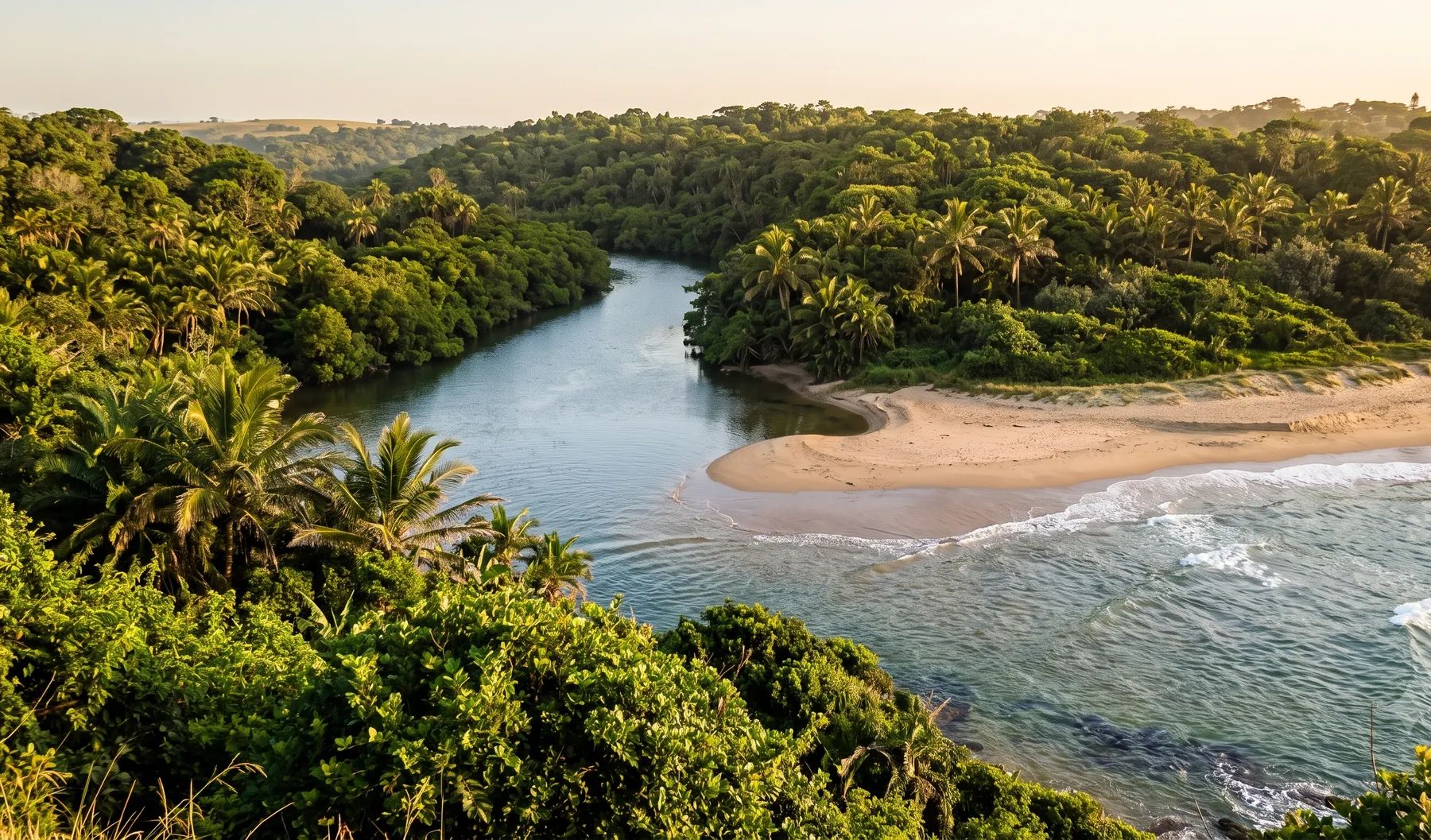
Durban has 18 major river systems and 16 estuaries on 98 km of coast, packed into steep catchments with soft soils. The uMngeni runs through the north of the city, the Umbilo and Umhlatuzana drain into Durban Bay, and the uMlazi reaches the sea through a canal in the South Durban Basin. eThekwini has said that floods in 2017, 2019, 2022 and 2023 exceeded the 1:100-year flood in parts of the city, and that it is revising its floodlines for a 15% increase in rainfall intensity. Its published flood plain map was captured between 1985 and 2012, before those floods.
Rivers that shape flood risk in Durban
Loading map…
| River | Where it runs | What matters for flood studies |
|---|---|---|
| uMngeni (Umgeni) | Below Inanda Dam it runs about 24 km to the sea just north of the city centre | Four large dams in the catchment (Midmar, Albert Falls, Nagle and Inanda); the mouth once wandered into the bay and was redirected by the city engineer in the early 1900s |
| Palmiet | Its lower reaches pass the Quarry Road West informal settlement | Described as fast-rising; the river becomes dangerous after about 40 mm of rain in its middle catchment |
| Umbilo and Umhlatuzana | Rise in the hills above Durban and enter Durban Bay | Drain large areas of urban and industrial development |
| uMlazi (Umlaas) | Rises south-west of Pietermaritzburg, through Shongweni Dam, then Chatsworth, uMlazi and the South Durban industrial area to the sea | Reaches the sea through a concrete canal described as severely undersized for its catchment and high-risk; the iSipingo is diverted into it |
| oHlanga and uMdloti | North Coast | Treatment-works flows breach the oHlanga mouth often; Hazelmere Dam has left the uMdloti mouth closed for long periods |
| aManzimtoti and iLovu | South Coast | Floodplains partly canalised; a weir at the aManzimtoti mouth |
Rain falls mainly in summer, about 1 009 mm a year on average according to the South African Weather Service. Durban’s major floods are driven by cut-off lows, often after soils are already saturated, as they were under La Niña in 2022 (ICLEI flood risk profile).
Recent floods
- April 2026. A weekend storm caused widespread flooding in Chatsworth, Morningside, Westville and Newlands West (SAnews).
- February 2025. Six people died in Durban, in a house collapse in kwaMakhutha and mudslides in uMlazi (EWN). The Mayor said the 2024 and early 2025 events exceeded 1:20 to 1:40-year floods.
- April 2022. More than 350 mm fell in two days on 11 and 12 April, with about 300 mm at Mount Edgecombe and Durban North (NASA). At least 435 people died in eThekwini (World Weather Attribution), and across KwaZulu-Natal nearly 4 000 homes were destroyed. A national state of disaster was declared on 18 April. The uMngeni gauge above Inanda Dam recorded its highest level since 1989 (DWS flood peaks).
- April 2019. The Easter floods killed more than 50 people in KwaZulu-Natal, with Chatsworth, Malvern, Overport, Pinetown and Amanzimtoti among the worst hit (SABC).
- October 2017. A cut-off low, not a tropical cyclone, according to the South African Weather Service; a river burst its banks at the N2 near Natcos (News24).
The Mayor also noted that Durban’s stormwater systems are designed for a 1:10-year storm at critical points, so storms well beyond that will overload them.
Floodline and stormwater rules in Durban
- Stormwater Management By-law (2020). Written consent is needed for any activity that may raise flood levels, create a flood risk or damage another person’s property. Development approval needs a stormwater management plan in line with the City’s Floodline and Stormwater Management Policy.
- Attenuation. The City’s subdivisional approval criteria require facilities that control the 1:10, 1:50 and 1:100-year floods back to undisturbed natural conditions: the site as veld or bush, even if it is already built on. New developments need 50- and 100-year flood information.
- D’MOSS. The Durban Metropolitan Open Space System is a layer of the land use scheme; work inside it needs prior written approval.
- Outer West. The Outer West sub-scheme bars subdivision of land liable to 1:100-year flooding.
See attenuation requirements by metro, climate change and floodlines and why floodlines go out of date.
Where to find an existing floodline
eThekwini publishes a “Flood Plain 100yr” layer on its open-data portal: 249 flood plain polygons for rivers including the uMngeni, Palmiet, Aller, Umbilo, Umhlatuzana, Umlaas, Isipingo, Ohlanga, Mdloti, uThongathi and aManzimtoti, each captured between 1985 and 2012 by different consultants. It is a useful first check, but it predates the 2017 to 2023 floods and the City’s own revision of its design rainfall. D’MOSS is published on the same portal. Our guide on checking whether a property is in a floodline covers what to look for on record.
Approvals beyond the City
Durban falls in the Pongola-Mtamvuna water management area. The Pongola-Umzimkhulu Catchment Management Agency has a water use authorisation division in Durban, and applications are made online through the Department of Water and Sanitation’s e-WULAAS system. Environmental authorisation comes from the KwaZulu-Natal environment department. Our guide to getting permission to build in a floodplain sets out the order of approvals.
What to settle early on a Durban site
- Which flood line. The City’s published flood plain may be decades old; a new study should say whether it uses the City’s revised design rainfall.
- The undisturbed baseline. Attenuation is measured against the site as natural veld, so a brownfield site can still need a pond.
- Slopes and soils. Steep slopes, soft soils and unstable geology make landslides part of the flood risk, as February 2025 showed.
- Estuaries. Many of Durban’s river mouths close, breach or are managed, and the mouth condition changes flood levels upstream.
- D’MOSS. Check it before the layout is fixed: approval inside it adds time.
To brief a study, see our floodline determination and flood risk assessment services, or send us the site. You can drop a pin on the map in the contact form.
Local rules, rivers and flood records checked October 2026 by Robert Fortuin . Rules change, so confirm them with the municipality before relying on them.
Documents referenced
Links go to official government copies wherever one is published online. Check for amendments before relying on a specific clause.
- Stormwater Management By-law, 2020By-law · eThekwini Municipality
- Coastal, Stormwater and Catchment ManagementPolicy · eThekwini Municipality
- Flood Plain 100yr (open data)Map viewer · eThekwini Municipality
- Statement by eThekwini Mayor on the recent storm disaster (3 March 2025)Policy · eThekwini Municipality
- Durban's estuariesGuideline · eThekwini Municipality
Services available in Durban
Each link opens a brief for that service in Durban: regional context, typical drivers, and how we would approach a study in the area.
- Floodline Determination
- Flood Risk Assessment
- Stormwater Management Plans
- Drainage Design
- Hydrological Studies
We take on the rest of our services in Durban too.
Beyond consulting in Durban
Our work in Durban fits into a broader practice: flood risk intelligence for insurers, custom software for water teams, and dedicated sector hubs covering the audiences we serve.
Flood Risk Intelligence
Hazard maps, portfolio exposure, claims-dispute support, and post-event loss modelling.
Explore offerings
Custom Software
QGIS plugins, dashboards, data pipelines, bespoke applications — built around your workflow.
Explore offerings
Sectors we work with
Insurance, mining, municipalities, developers, consulting engineers, and roads & rail.
All sectors
Talk to an engineer about work in Durban
Get in touch