

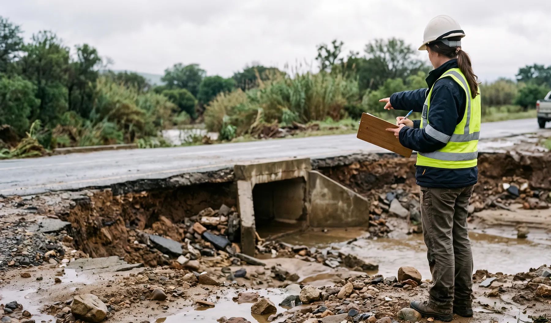
What is flood damage assessment?
Flood damage assessment documents flood mechanisms and supporting hydrology/hydraulics after events—helping insurers, owners, and legal teams understand what happened and why.
Evidence-led reconstruction
Post-event work is about what can be demonstrated from the record—not every possible narrative. We rank mechanisms by plausibility, show which observations would falsify each hypothesis, cross-check rainfall against South African Weather Service records where available, and state the limits of the hydraulic checks when topography or timing data is weak.
Supporting insurers and legal teams
Deliverables are structured so non-modellers can follow the logic chain from rainfall to observed damage, with appendices modellers can interrogate.
What we typically need from you
- Event timing, rainfall records, and any site photos or eyewitness accounts
- As-built drawings, maintenance logs, and CCTV or inspection reports where available
- Insurance policy scopes, legal instructions, or dispute timelines (under NDA)
- Prior hydrology/hydraulic studies for the same reach or structures
Where we add technical depth
- Forensic separation of pluvial, riverine, and infrastructure failure mechanisms where evidence allows
- Hydraulic reconstruction with documented assumptions and sensitivity where data is incomplete
- Clear timelines linking rainfall, ponding, breach, or surcharge hypotheses
- Figures and tables suitable for legal disclosure or insurer technical panels
When do you need this?
- Insurance claims requiring independent hydrology/hydraulic opinion
- Disputes on flood mechanism (pluvial vs fluvial vs infrastructure)
- Recovery planning after major events
Our approach
-
Evidence gathering
Review rainfall, eyewitness marks, CCTV, and survey where available.
-
Mechanism analysis
Test hypotheses with hydrology/hydraulics consistent with observations.
-
Reporting
Deliver clear findings with limitations suitable for legal/insurance use.
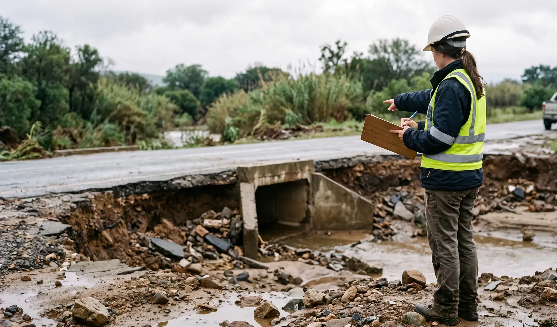
What you'll receive
- Forensic memorandum
- Figures and event reconstruction tables
Relevant SA standards
- Professional evidence standards (scoped to engagement)
FAQ
Do you act as expert witness?
We scope expert services case by case under legal instruction. The core deliverable is a report, GIS layers and a concise conclusion; a briefing for counsel or the panel, and on-stand testimony or expert conference participation, are scoped separately.
What if data is poor?
We state the limitations and give findings as a range, with the reasons. In an ungauged rural catchment with no radar and no photos the uncertainty bounds are wider, and we say so up front rather than presenting precision the data does not support.
How fast can you respond after an event?
We prioritise site visits when safe and feasible; timing depends on access and data availability. For a contested claim in a gauged, radar-covered urban catchment with photographic evidence, a modelled answer is reachable inside two to three weeks.
Do you model the hydrology as well as the hydraulics?
Yes, where needed to explain observed depths and extents. The model is run for the event itself, from the rainfall that actually fell (gauged stations and South African Weather Service radar where available) and recorded river levels, then reconciled against photos and CCTV.
Can you support subrogation matters?
Yes, with an independent technical opinion under legal instruction. We model the physical event, separate pluvial, riverine and infrastructure failure mechanisms where the evidence allows, and present what the evidence supports, without taking either side.
Author
Robert FortuinAreas we serve
We work on projects across South Africa — see locations.
Related services
Related reading
- Bridge Waterway Assessments: Afflux, Freeboard and Scour Explained
- What We Find When We Inspect Culverts: Common Defects That Quietly Erase Capacity
- Defending flood claims with independent hydraulic modelling
- Low-Level River Crossings: Designing for Overtopping, Debris and Safety
- Post-Event Loss Modelling: From Flood Footprint to Portfolio Impact
- Quantifying flood exposure across an insurance portfolio
- Rebuilding After a Flood in South Africa: The Approvals You Need Inside a Floodline
- Why Erosion Protection Fails: Field Lessons from Riprap and Gabion Failures
Ready to get started?
Contact us