

Data & terrain
DEM and LiDAR Accuracy: Why Terrain Data Makes or Breaks a Flood Model
Last reviewed by Robert Fortuin · Reviewed by Stephan Dreyer
A hydraulic model is, at its core, water poured over a digital copy of the ground. If that digital ground is wrong, no amount of modelling sophistication rescues the result: the flood levels may compute beautifully and the mapped extent will still be wrong. In our experience reviewing flood studies, terrain data quality — not hydraulics — is the most common root cause of an indefensible floodline.
The one number that matters: vertical accuracy
A digital elevation model (DEM) has two headline properties: resolution (pixel size) and vertical accuracy (how close each elevation is to the true ground). Vertical accuracy is the one that matters most for flooding, for a simple geometric reason: floodplains are flat. On a floodplain with a 1-in-500 cross slope, a 0.2 m elevation error moves the mapped flood edge by 100 m horizontally. The flatter the land — precisely where flood risk concentrates — the more a small vertical error magnifies.
Vertical error contaminates a flood study through three doors at once: the terrain the model floods, the channel geometry that carries the flow, and the reference levels against which “above the floodline” is judged for individual erven and floor levels.
The main terrain sources, compared
| Source | Typical vertical accuracy | Typical resolution | Fit for floodlines? |
|---|---|---|---|
| Registered survey (total station / GPS) | 0.01 – 0.05 m | Cross-sections/points | Yes — reference standard |
| Airborne LiDAR | 0.05 – 0.15 m | 0.5 – 2 m grid | Yes |
| Drone photogrammetry (with ground control) | 0.05 – 0.2 m | 0.05 – 0.5 m grid | Yes, with caveats below |
| National 5 m photogrammetric DEMs | 0.5 – 2 m | 5 m grid | Screening only |
| SRTM / Copernicus global DEMs | 3 – 10 m | 30 m grid | No — regional context only |
Airborne LiDAR is the benchmark for floodplain mapping because it measures the ground directly with a laser and — critically — can filter out vegetation to produce a true bare-earth terrain model. Where municipal or provincial LiDAR coverage exists, it is often the single most valuable dataset in a flood study.
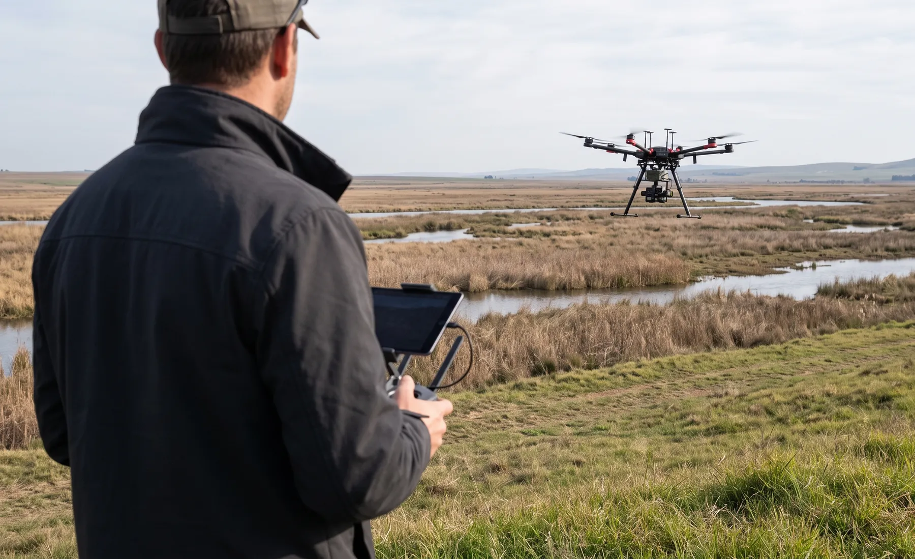
Drone photogrammetry now delivers LiDAR-class accuracy over sites at modest cost, and we use it routinely. Its structural weakness is vegetation: photogrammetry reconstructs the surface the camera sees, so dense reeds, crops, or tree canopy become “ground” unless carefully filtered — and riverbanks are exactly where dense vegetation lives. A photogrammetric DEM over a reeded watercourse can sit a metre or more above the true bank.
Global DEMs (SRTM and kin) have vertical errors measured in metres — larger than the entire flood depth range being mapped on most sites. A floodline delineated on SRTM is not conservative or approximate; it is arbitrary. Their legitimate role is catchment delineation and regional screening.
What a DEM alone can never see
Even perfect LiDAR misses things that control real flood behaviour:
- Below the waterline. Airborne sensors return the water surface, not the riverbed. Channel capacity — often carrying the bulk of a flood — must come from surveyed cross-sections taken in the channel. A model built on DEM-only “bathymetry” systematically overstates flood levels on incised rivers and can misplace the floodline badly.
- Hydraulic structures. Culvert inverts and diameters, bridge soffits and pier arrangements, weir crests — these control local flood levels and must be measured, not inferred from terrain.
- Fine flow controls. Walls, kerbs, and berms narrower than the DEM resolution can block or channel shallow flow; on urban floodplains these features often decide which properties flood.
This is why a credible floodline determination pairs remote-sensed terrain with a targeted field survey of the channel and structures — each covering the other’s blind spots.
What this means for commissioning a flood study
- Ask what terrain the model will stand on. “LiDAR/drone survey with field-surveyed channel cross-sections and structures” is the defensible answer for a regulated floodline. A study priced without any site survey is priced to produce a screening result.
- Accuracy should match the decision. Sizing a farm culvert tolerates coarser terrain than certifying floor levels for a township near a watercourse — where centimetres of level translate to metres of floodline position.
- Vertical datum discipline matters. Survey, DEM, and model must share one datum; mixing datums (or ellipsoidal vs orthometric heights) silently shifts every level in the study — a surprisingly common review finding in hydraulic modelling.
Terrain is not a procurement detail at the bottom of the fee proposal — it is the foundation the entire flood study stands on, and the first thing we scope when a project starts.
Need this applied to a real site — with a defensible, review-ready result? Tell us about the project and we'll reply within one business day.
Talk to an engineer