

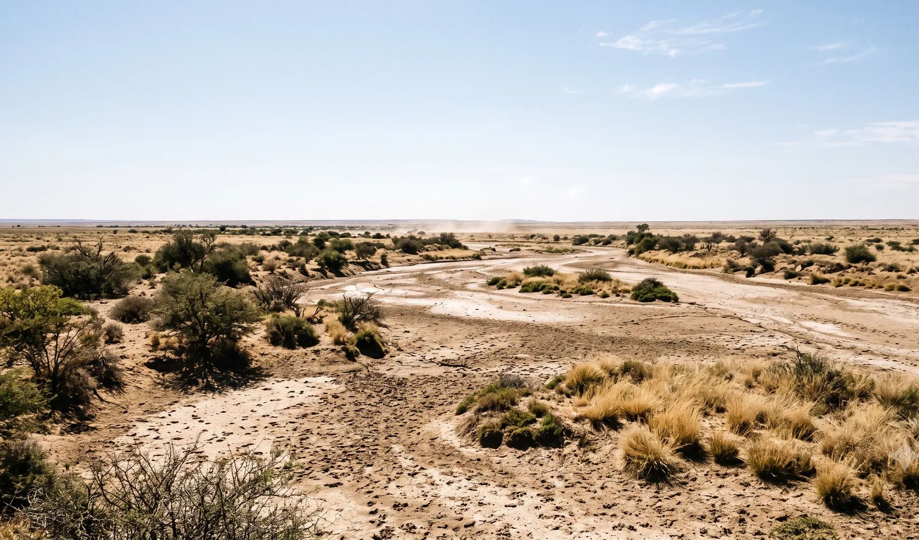
Kimberley has no river through the city. Its floods come from short, violent summer cloudbursts on flat ground that drains slowly, and from water held in pans that were never meant to stay full. Kamfers Dam, once a seasonal salt pan north of the city, now holds the city’s wastewater, and the railway beside it is periodically submerged. The Vaal River, north of the city at Riverton, supplies the city’s water. Sol Plaatje publishes no floodline rule, so the questions on a Kimberley site are usually stormwater ones: where the water goes on flat ground, and what it does to the neighbours.
Water and drainage around Kimberley
Loading map…
| Feature | Where it is | What matters for flood studies |
|---|---|---|
| Kamfers Dam | A pan north of the city, beside Roodepan | Originally a seasonal salt pan; now holds what is supposed to be treated sewage; the railway line next to it is periodically submerged |
| Vaal River | North of the city, at Riverton and Barkly West | The city’s water supply; high river levels in December 2022 made the Riverton pump station hard to reach |
| Tlhageng retention dam | Galeshewe | Overflowed and flooded homes and cars in February 2015 |
| Riet and Modder rivers | South of the city | The Modder joins the Riet, which joins the Vaal upstream of Douglas |
Rain is light but intense: about 400 mm a year on average, almost all of it in summer storms, with about 44 rain days a year (WMO normals, 1991–2020). A single cloudburst in February 2015 reportedly dropped about 100 mm in under an hour.
Recent floods
- March 2018. A storm flooded parts of Roodepan, Galeshewe and Ritchie, and two people drowned (kimberley.org.za, quoting the Municipality).
- February 2015. About 100 mm fell in under an hour; the Tlhageng retention dam overflowed into homes, and residents said it was the fifth such flood since 2009 (GroundUp).
- 2011. Water from Kamfers Dam flooded the railway line and closed it for months; Transnet then began a pipeline to divert excess water (OFM).
Wastewater floods too. In January 2021, a pump station failure flooded homes in Roodepan with sewage, and the water was slow to clear because the area had no stormwater drainage (GroundUp).
Floodline and stormwater rules in Sol Plaatje
Sol Plaatje publishes no floodline rule that we could find, and its 2026/27 integrated development plan lists floodline studies as unfunded. Requirements are set case by case, usually as conditions of approval. National rules still apply: section 144 of the National Water Act requires the 1:100-year floodline on township layouts near a watercourse, and work near a watercourse or pan can be a water use. Our guides on the lines that control building near a river and whether your development will flood your neighbours cover both.
Where to find existing flood information
The Sol Plaatje GIS viewer shows cadastral data, streets, suburbs and the urban edge, with no flood layer. For most sites, the evidence has to come from a study: survey, a catchment model of the local drainage, and the flow paths across the site in a design storm.
Approvals beyond the Municipality
Kimberley falls in the area of the Vaal-Orange Catchment Management Agency, created in 2022 by extending the Vaal River agency to cover the Orange water management area. The Department of Water and Sanitation’s Northern Cape office is in Beaconsfield, Kimberley. Applications are made online through the e-WULAAS system. Our guide to getting permission to build in a floodplain sets out the order of approvals.
What to settle early on a Kimberley site
- Flat-ground flow paths. With little slope and few drains, water spreads and ponds. Map where it goes before fixing platform levels.
- Pans and retention dams. Find out how full the nearest pan or retention dam can get, and what happens when it overflows.
- Short, intense storms. Design for cloudbursts, not long rain: the 2015 storm reportedly delivered a quarter of the annual rainfall in under an hour.
- Neighbours. On flat ground, raising one site sends water onto the next.
To brief a study, see our flood risk assessment and stormwater management plan services, or send us the site. You can drop a pin on the map in the contact form.
Local rules, rivers and flood records checked October 2026 by Robert Fortuin . Rules change, so confirm them with the municipality before relying on them.
Documents referenced
Links go to official government copies wherever one is published online. Check for amendments before relying on a specific clause.
- Sol Plaatje GIS ViewerMap viewer · Sol Plaatje Municipality
- Establishment of the Vaal-Orange Catchment Management Agency (GN 2792 of 2022)Regulations · GN 2792 of 2022 · Department of Water and Sanitation
Services available in Kimberley
Each link opens a brief for that service in Kimberley: regional context, typical drivers, and how we would approach a study in the area.
- Floodline Determination
- Flood Risk Assessment
- Stormwater Management Plans
- Drainage Design
- Hydrological Studies
We take on the rest of our services in Kimberley too.
Beyond consulting in Kimberley
Our work in Kimberley fits into a broader practice: flood risk intelligence for insurers, custom software for water teams, and dedicated sector hubs covering the audiences we serve.
Flood Risk Intelligence
Hazard maps, portfolio exposure, claims-dispute support, and post-event loss modelling.
Explore offerings
Custom Software
QGIS plugins, dashboards, data pipelines, bespoke applications — built around your workflow.
Explore offerings
Sectors we work with
Insurance, mining, municipalities, developers, consulting engineers, and roads & rail.
All sectors
Talk to an engineer about work in Kimberley
Get in touch