

What Is a Floodline Study? A Plain-Language Guide for SA Property Owners and Developers
· Written by Robert Fortuin · Reviewed by Stephan Dreyer
If you own or are developing land near a river, stream, wetland, or drainage line in South Africa, you have probably been told you need a “floodline study” before you can proceed. It is one of the most common requirements attached to rezoning, subdivision, and building-plan applications — and one of the least explained.
This guide covers what a floodline study actually is, why municipalities ask for one, and what you should expect to receive.
Been told your site needs a floodline study and not sure where to start? We run floodline determinations across South Africa — confirming the design event with your municipality, then delivering a review-ready package.
Floodline determinationWhat a floodline actually shows
A floodline is a mapped boundary showing how far floodwater is expected to spread during a defined flood event — typically expressed as a return period, such as the 1:100 year flood. Everything inside that boundary is considered flood-prone for that event; everything outside it is not, at least not for that specific scenario.
A floodline study is the engineering work behind that map. It combines two things:
- Hydrology — how much water a catchment produces during a design storm, based on rainfall, catchment size, slope, and land cover.
- Hydraulics — how that water moves once it reaches a watercourse: how deep it gets, how fast it flows, and where it spreads once channels, culverts, bridges, or floodplains constrain or release it.
The output is a set of mapped flood extents — usually in GIS or CAD format — along with a report explaining how those extents were derived and what assumptions went into them.
Why municipalities require one
Municipal planning and building-control departments use floodlines to keep development, infrastructure, and people out of predictable flood hazard. In practice, a floodline informs:
- Where a building platform can safely be located, and at what minimum level.
- What setback a structure needs from a watercourse.
- Whether a proposed crossing, culvert, or bridge will constrain flow enough to raise flood levels elsewhere.
- Whether bulk earthworks or berming will change how water moves across a site or onto a neighbour’s property.
Without a floodline, a municipality has no defensible basis for approving — or rejecting — development near a watercourse. That is why it is so often a non-negotiable part of a rezoning, subdivision, or environmental application, alongside any separate watercourse-use requirements under the National Water Act.
When you need one
Floodline requirements are triggered by proximity to a watercourse, wetland, or mapped flood-prone area, not by the size of the project. Common triggers include:
- Rezoning, subdivision, or township establishment near a river, stream, or wetland.
- Any building plan within or adjacent to a floodplain.
- New or upgraded road or rail crossings over a watercourse.
- Earthworks, berming, or stormwater outfalls that could change flow paths.
If your site backs onto a watercourse — even a small, seasonal one — it is worth checking early whether a floodline will be required, rather than finding out at submission stage.
What the process looks like
A floodline study generally follows four steps:
- Confirm the standard. The municipality (or relevant authority) specifies the design event — usually the 1:100 year flood for planning purposes — and any project-specific requirements such as freeboard or building-platform guidance.
- Build the hydrology. Design rainfall and catchment response are used to derive flows for the design event, with assumptions about catchment boundaries and land use documented explicitly.
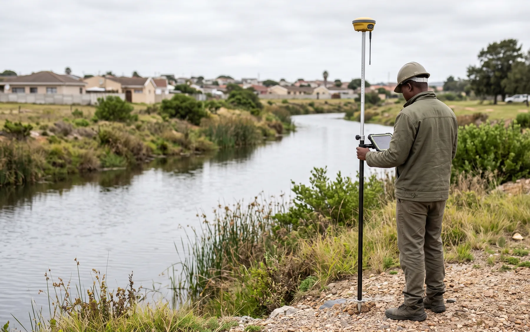
- Run the hydraulics. A 1D or 2D hydraulic model (or a combination) tests how those flows move through the channel, floodplain, and any structures, producing mapped depths, velocities, and extents.
- Deliver a review-ready package. GIS/CAD floodline layers, a report explaining the method and assumptions, and figures suitable for a municipal reviewer or your own town planner.
What to expect from a good floodline study
A floodline study is only useful if a second professional can pick it up and verify it. That means the deliverable should let a reviewer trace:
- What design event was used, and why.
- What data (survey, aerial imagery, existing infrastructure) informed the model.
- Where the model’s limitations are — old survey data, assumed catchment boundaries, unmodelled structures — and what that means for how conservative the result is.
A floodline that cannot be traced back to its assumptions is far more likely to be sent back for clarification, which is the single biggest cause of delay we see on planning applications.
Getting started
If you are at the feasibility or early planning stage, a short conversation before you commission a full study can save time — confirming the applicable standard, the likely design event, and whether a screening-level flood risk assessment is enough before you invest in a full floodline determination. See our floodline determination and flood risk assessment service pages for more on how we scope this work.
Working on a site where flooding, stormwater, or floodlines are a concern? Send us a message about it and we’ll reply within one business day — no obligation.
Talk to an engineerRelated services
Who this is for
Related posts
- 1:50 vs 1:100 Year Floodline: What's the Difference and Which Applies to You?
- What Happens if You Build Inside a Floodline in South Africa?
- What a Defensible Floodline Study Looks Like (and What Reviewers Actually Check)
- Flood Risk Assessment for Property Developers: When You Need One and What's Included