

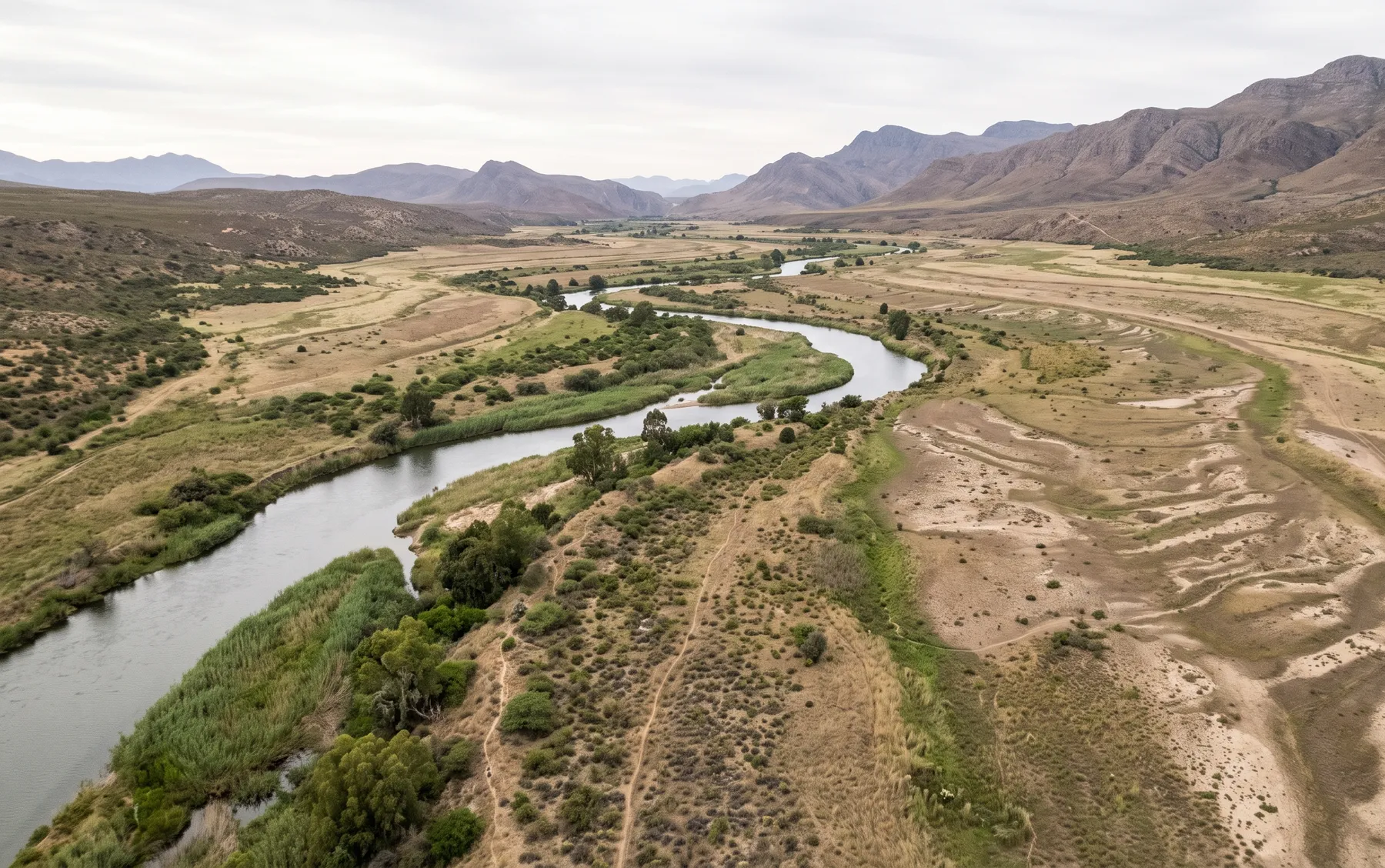
1:50 vs 1:100 Year Floodline: What's the Difference and Which Applies to You?
· Written by Stephan Dreyer · Reviewed by Robert Fortuin
Ask two people involved in a development what “the floodline” means and you may get two different answers — because there is rarely a single floodline. Most sites near a watercourse have several, each tied to a different design event. The two you will encounter most often in South Africa are the 1:50 year and the 1:100 year floodline. Understanding the difference matters, because using the wrong one can mean redesigning a layout late in a project.
Not sure which design event your municipality expects? We confirm the applicable standard with the authority before any modelling starts — so the deliverable answers the reviewer's question first time.
Floodline determinationWhat “1:100 year” actually means
A “1:100 year flood” is not a flood that happens once every hundred years on a fixed schedule. It is a flood with a 1% chance of being equalled or exceeded in any given year — the annual exceedance probability (AEP). A site can experience two 1:100 year floods in consecutive years; it is simply unlikely, not impossible.
The same logic applies to the 1:50 year event (2% annual chance) and any other return period you will see referenced — 1:2, 1:10, 1:20, and so on.
Why the return period changes the answer
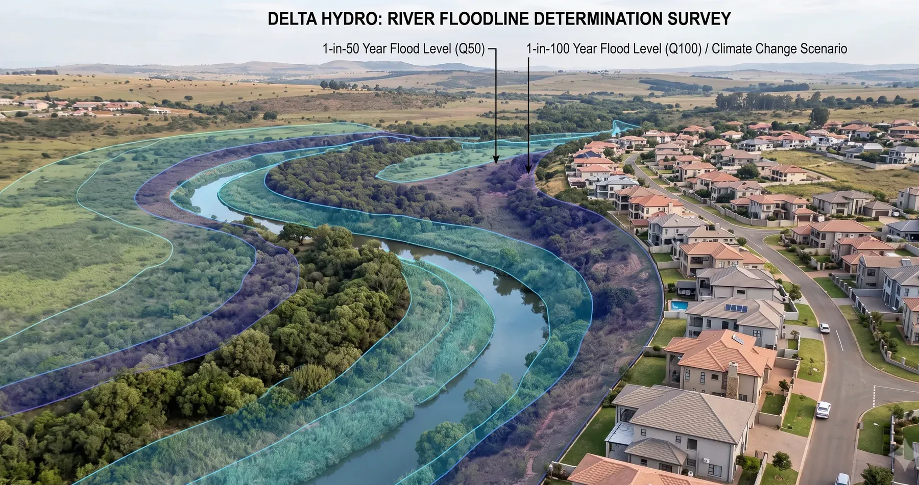
A larger, less frequent event (1:100 year) produces more runoff, higher flood levels, and a wider flood extent than a smaller, more frequent event (1:50 year or 1:20 year). This is why the choice of design event is not a technicality — it directly determines how much of a site is classified as flood-prone, and therefore how much of it is buildable.
Using a 1:50 year floodline when a municipality expects 1:100 year analysis will understate the flood extent — and get flagged in review. Using a far more conservative event than required can needlessly shrink a site’s buildable area.
Which one applies to your site
There is no single national rule — the applicable return period depends on the authority, the application type, and sometimes the specific watercourse. In practice:
- 1:100 year is the most commonly requested standard for general planning and building-plan purposes across South African municipalities.
- 1:50 year sometimes applies to specific infrastructure types, or as a secondary check alongside the 1:100 year event.
- Higher-consequence infrastructure — major roads, bridges, dams — is often assessed against more extreme events (1:200 year or the Regional Maximum Flood) precisely because the cost of failure is higher. Road-authority drainage manuals such as SANRAL’s TRH series are a common source for these higher-order design events on transport projects.
- Frequent events (1:2, 1:5, 1:10 year) are typically checked too, not as the compliance benchmark, but to understand nuisance flooding, ponding, and everyday operational risk.
The only reliable way to know which event applies to your site is to confirm it with the relevant municipality or authority — in some cases the Department of Water and Sanitation where a watercourse is regulated — before the hydraulic modelling starts, not after.
Why this should be settled before modelling begins
Confirming the design event upfront avoids one of the most common (and expensive) sources of rework we see: a floodline built to the wrong standard, discovered only when the municipality reviews the submission. At that point, the hydrology and hydraulics often need to be rebuilt, not just re-plotted, because the flows themselves change with the return period.
A well-scoped floodline determination confirms the required event — and often runs a small set of events (frequent, planning-benchmark, and any critical-infrastructure checks) — so the deliverable answers the reviewer’s question the first time.
What this means for your layout
If your site is close to the margin between “outside the floodline” and “inside it,” the choice of return period can be the difference between a buildable erf and a constrained one. This is exactly why we recommend confirming the standard — and, where useful, running both the 1:50 and 1:100 year events — early in a project, rather than discovering the constraint after a layout has been finalised.
See our floodline determination service page for how we scope and confirm the design event for a specific site, or get in touch if you are not yet sure which standard applies to you.
Working on a site where flooding, stormwater, or floodlines are a concern? Send us a message about it and we’ll reply within one business day — no obligation.
Talk to an engineer