

Sector
Drainage & Flood Studies for Roads & Rail
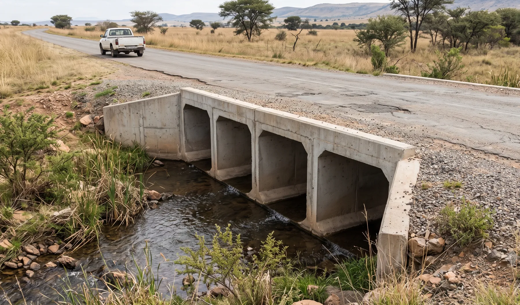
Drainage, culvert design, scour protection, and flood studies for roads and rail corridors in South Africa.
- Culvert hydraulics and sizing aligned to SANRAL TRH guidance
- Scour and erosion protection for crossings and embankments
- Flood risk on road and rail corridors
- Stormwater drainage for new and upgraded routes
What we offer
Flood risk intelligence coverage for this sector
We are building toward national coverage. Each offering below shows where it stands today.
Available today with established methodology.
- —
In development — not yet available as a live offering.
- —
Why roads and rail projects work with us
Crossing hydraulics sit at the intersection of hydrology, structural performance, and geotechnical risk — undersize a culvert and you get overtopping and washouts; oversize it and you carry unnecessary cost across a batch of sites. We size crossings to the governing design event with documented sensitivity, and coordinate directly with the roads or rail designer so hydraulics and structure decisions move together rather than being reconciled late.
Scour and erosion protection follows the same logic: sized to the flood event, not to a rule of thumb, with the assumptions stated so a reviewer can verify them.
How we work with roads and rail projects
Typical engagements include:
- Route-level flood risk. Flood risk assessment and floodline mapping along a corridor, informing road/rail level and crossing-location decisions before detailed design starts.
- Crossing-by-crossing or batch design. Culvert and bridge waterway hydraulics, sized individually or across a batch of sites on a single programme, aligned to SANRAL TRH guidance.
- Scour, erosion, and existing-asset assessment. Protection design for new crossings, or capacity and scour assessment of existing crossings showing signs of distress.
We are used to coordinating with the roads or rail designer’s programme and levels, and can scope work as a single crossing or a full-corridor batch.
What crossing sizing actually involves
Culvert and bridge waterway sizing starts with the catchment upstream of the crossing: delineation, time of concentration, and a design flood estimate using the SCS-SA or rational method appropriate to the catchment size, cross-checked against regional design rainfall. From there, hydraulic capacity is checked under inlet and outlet control, headwater rise is compared against the road or rail formation level and any upstream property at risk, and outlet velocity is checked against the erodibility of the receiving channel to decide whether scour protection is needed at all.
Where an existing crossing is under review rather than a new one, the same checks run in reverse: as-built or surveyed dimensions go in, and the output is the flood event at which the crossing starts to constrain flow, overtop, or drive scour — the number a maintenance or upgrade decision actually needs.
FAQs
- Do you design to SANRAL TRH drainage guidance?
- Yes — culvert hydraulics, sizing, and drainage design for road corridors are scoped against the applicable SANRAL TRH drainage series and any project-specific design manual, alongside municipal or provincial requirements where relevant.
- Can you assess an existing crossing that is showing signs of scour or capacity problems?
- Yes. We assess existing culverts, bridges, and embankment crossings for hydraulic capacity and scour risk, and design protection measures (rock armour, gabions, energy dissipation) sized to the governing flood event.
- How do you handle debris and blockage risk at culverts?
- Where blockage risk is material to a crossing's performance, we test it through sensitivity cases rather than a single blanket assumption, so the design accounts for realistic debris conditions without over-conservatism.
- Can you size crossings across a batch of sites on one road or rail programme?
- Yes — batch culvert and crossing sizing across multiple sites on a single programme is common work, with consistent methodology and design events applied across the batch so results are comparable and defensible as a set.
- Do you coordinate directly with the roads or rail designer?
- Yes. Crossing hydraulics and drainage design depend on road or rail levels, alignment, and structure type, so we typically coordinate directly with the civil or structural designer rather than working from a fixed brief in isolation.
- Do you handle flood risk for the corridor itself, not just individual crossings?
- Yes — flood risk assessment and floodline mapping along a proposed or existing corridor inform road/rail level decisions and crossing locations at a route-planning level, ahead of detailed crossing-by-crossing design.
Related reading
-
Energy Dissipators: Slowing Water Down Before It Destroys Your Channel
At a culvert or spillway outlet it is velocity, not volume, that does the damage. A guide to the options ladder — riprap aprons, impact structures, stilling basins, and stepped chutes — and when each fits.
-
Gabions vs Reno Mattresses vs Riprap: Choosing Channel and Bank Protection
Gabions, Reno mattresses, and riprap protect channels and banks in different ways, with different velocity limits, costs, and maintenance realities. A plain decision guide for South African conditions.
-
Why Erosion Protection Fails: Field Lessons from Riprap and Gabion Failures
Erosion protection rarely fails in the middle of a panel — it fails at edges, toes, and terminations, or because the filter layer was skipped. Field lessons from real riprap and gabion failures.
-
What We Find When We Inspect Culverts: Common Defects That Quietly Erase Capacity
A culvert can lose much of its design capacity without any visible collapse. Here are the defects we find most often on site, how a capacity check works, and who pays when a "fine" culvert floods.
-
How Culvert Sizing Actually Works (and Why "Just Add Another Pipe" Fails)
Culvert sizing is not about picking a big enough pipe — it is about inlet versus outlet control, allowable headwater, and what happens downstream. A field-based guide for South African roads and developments.
-
How QGIS Plugins Accelerate Hydrological Workflows
The repetitive, error-prone parts of hydrological and hydraulic work are exactly what a well-built QGIS plugin removes. Where custom plugins pay off, and why repeatability matters as much as speed.