

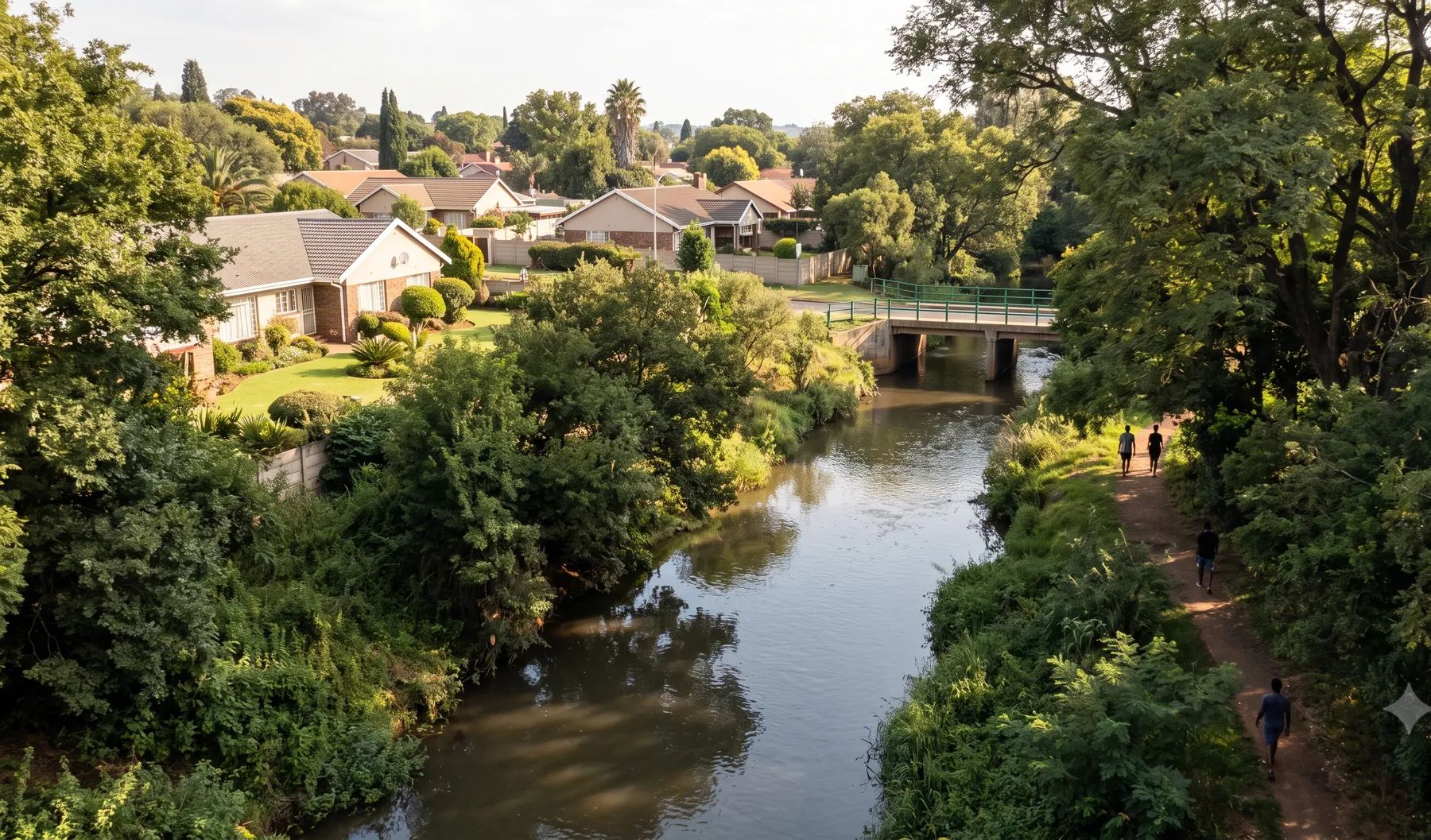
Pretoria’s flood problems sit on three rivers. The Apies drains the city centre, the Hennops runs through Centurion, and the Pienaars, listed by the Department of Water and Sanitation as the Moretele where it passes Mamelodi, drains the east. All three are tributaries of the Crocodile River and flow all year, topped up by treated effluent. Tshwane has no stormwater by-law, so its rules come from the Land Use Scheme 2024, which lets the City require 1:50 and 1:100-year floodlines certified by a professional engineer on any application.
Rivers that shape flood risk in Pretoria
Loading map…
| River | Where it runs | What matters for flood studies |
|---|---|---|
| Apies River | Rises south of the city and runs past UNISA, along Mandela Drive, past the Pretoria Zoo and through Marabastad, then north through Wonderboom Poort to Bon Accord Dam | Drains the city centre and the western industrial areas; largely canalised; joins the Pienaars north of Hammanskraal |
| Hennops River | Flows from the Kempton Park and Tembisa side past Olifantsfontein, through central Centurion, to the Crocodile River near Hartbeespoort Dam | Joined by the Sesmylspruit from Rietvlei Dam; wastewater discharges keep flows unnaturally high; floods Centurion’s low-lying streets |
| Pienaars (Moretele) River | Rises east of Pretoria and flows north past Mamelodi into Roodeplaat Dam | Informal homes on its banks in Mamelodi flood repeatedly; Roodeplaat and Klipvoor are the main dams on the system |
| Hartbeesspruit and Moreleta Spruit | Feed the Pienaars | The Moreleta Spruit is a Hartbeesspruit tributary |
| Edendalespruit | Runs through Mamelodi East | Listed by the Department of Water and Sanitation among the city’s rivers |
Rain falls almost entirely in summer: about 665 mm a year at the Pretoria station, close to 90% of it between October and March (WMO normals, 1991–2020). Floods come from short, intense Highveld thunderstorms.
Recent floods
- December 2025. Storms between 20 and 23 December killed three people in Centurion, including two siblings whose car was swept into the Hennops (The Star, EWN). Roads flooded from End and Rabie streets to Nellmapius Road in Irene and Lyttelton Road in Clubview (Rekord).
- February 2025. The Hennops flooded the Rabie Street and End Avenue intersection in Centurion again (The Citizen).
- December 2024. Two people drowned in Lenchen and West streets, near SuperSport Park next to the Hennops (Daily Maverick).
- February 2022. Between 100 and 160 mm fell in parts of Tshwane; about 800 people were affected at Eerste Fabrieke in Mamelodi (Pretoria News).
- December 2019. More than 700 people in Mamelodi West were affected, and guests at the Centurion Lake Hotel were evacuated by helicopter (Sowetan).
Floodline and stormwater rules in Pretoria
- Land Use Scheme 2024, clause 18(10)(h). For any application it specifies, the City can require the 1:50 and 1:100-year floodlines on the diagram or layout plan, certified by a professional engineer.
- Clause 18(10)(e)(i). The City can require a service scheme report that includes on-site attenuation.
- Clause 18(1)(a)(ii). An owner must accept stormwater that drains naturally from higher land, and may not concentrate stormwater onto a lower erf. Where concentration cannot be prevented and the water cannot reach a street, the lower owner must let it pass, and the higher owner pays for the pipe.
- No stormwater by-law. Tshwane sets no explicit ban inside the 1:100-year line and no freeboard figure, so conditions are set application by application.
See whether your development will flood your neighbours, pre- vs post-development floodlines and attenuation requirements by metro.
Where to find an existing floodline
The Tshwane GeoHub carries a “Tshwane Priority Floodlines” layer, with no return period stated, so treat it as a pointer, not a line to design to. Most sites need a study to the return periods the City asks for. Our guide on checking whether a property is in a floodline covers the records worth pulling first.
Approvals beyond the City
The Apies, Hennops and Pienaars are all Crocodile River tributaries in the Limpopo-Olifants water management area, so work in them is handled through the Limpopo-Olifants Catchment Management Agency and the Department of Water and Sanitation’s Gauteng office in Pretoria, with applications made online on e-WULAAS. Our guide to getting permission to build in a floodplain sets out the order of approvals.
What to settle early on a Pretoria site
- Which return periods. The City can ask for both the 1:50 and the 1:100-year lines, so model both.
- Flows that never stop. Treated effluent keeps these rivers running, so base flow and channel capacity matter before the storm even starts.
- Dams upstream. Rietvlei Dam lies upstream of Centurion, and how it is modelled changes the design flood below it.
- Dolomite. Check the site’s dolomite zoning before designing ponds or soakaways.
- Neighbours downstream. Tshwane’s scheme puts concentrated stormwater squarely on the higher owner, so drainage layouts need a route to the street or a servitude.
To brief a study, see our floodline determination and flood risk assessment services, or send us the site. You can drop a pin on the map in the contact form.
Local rules, rivers and flood records checked October 2026 by Robert Fortuin . Rules change, so confirm them with the municipality before relying on them.
Documents referenced
Links go to official government copies wherever one is published online. Check for amendments before relying on a specific clause.
- Tshwane Land Use Scheme 2024 (listing page)By-law · City of Tshwane
- Tshwane GeoHubMap viewer · City of Tshwane
- River Health Programme: Crocodile West Marico WMA, Technical Report 3 (2015)Guideline · Department of Water and Sanitation
Services available in Pretoria
Each link opens a brief for that service in Pretoria: regional context, typical drivers, and how we would approach a study in the area.
- Floodline Determination
- Flood Risk Assessment
- Stormwater Management Plans
- Drainage Design
- Hydrological Studies
We take on the rest of our services in Pretoria too.
Beyond consulting in Pretoria
Our work in Pretoria fits into a broader practice: flood risk intelligence for insurers, custom software for water teams, and dedicated sector hubs covering the audiences we serve.
Flood Risk Intelligence
Hazard maps, portfolio exposure, claims-dispute support, and post-event loss modelling.
Explore offerings
Custom Software
QGIS plugins, dashboards, data pipelines, bespoke applications — built around your workflow.
Explore offerings
Sectors we work with
Insurance, mining, municipalities, developers, consulting engineers, and roads & rail.
All sectors
Talk to an engineer about work in Pretoria
Get in touch