

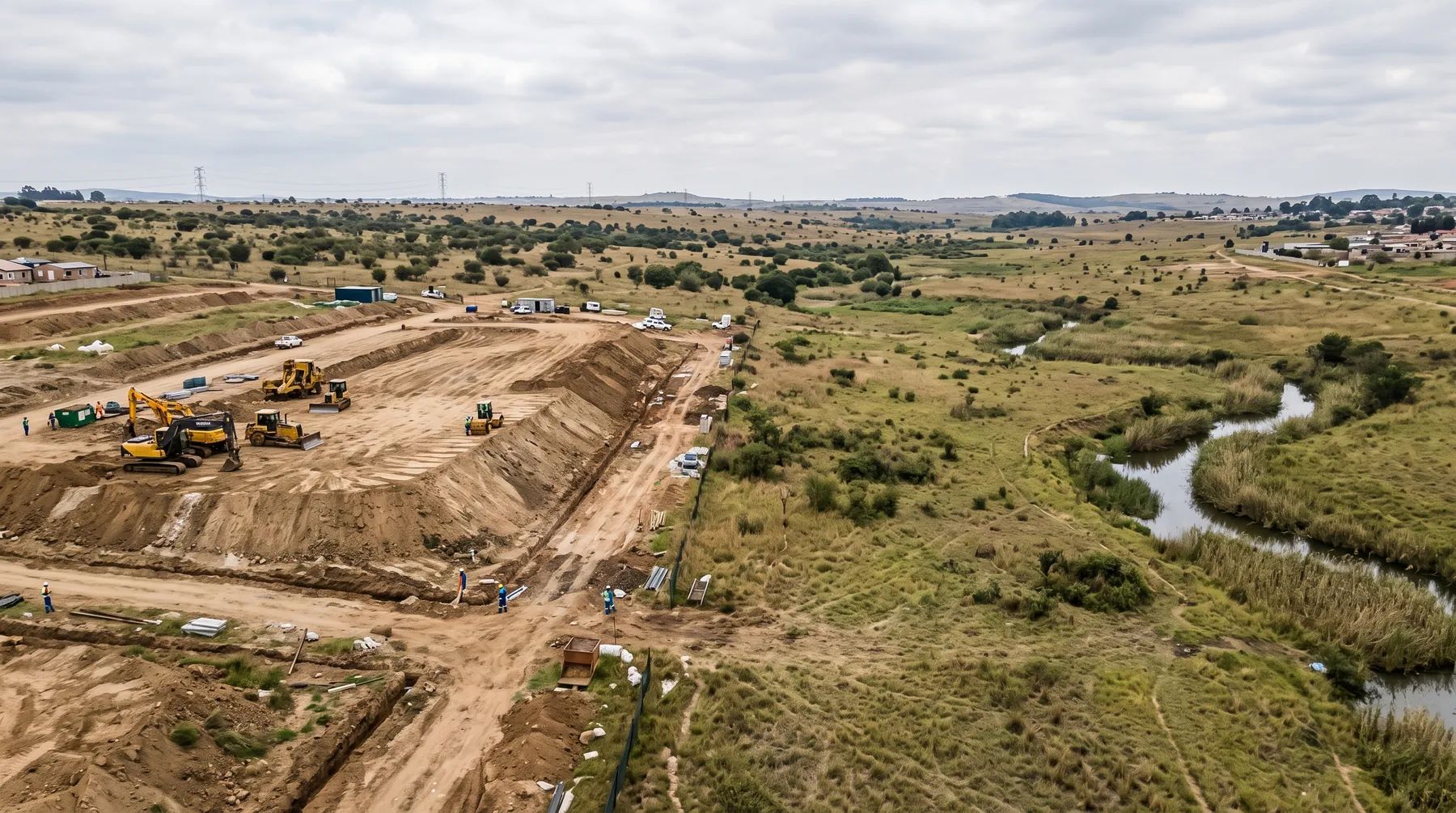
Pre- vs Post-Development Floodlines: Which One Does Your Municipality Want?
· Written by Stephan Dreyer · Reviewed by Robert Fortuin
“Pre- vs post-development floodline” is used for two different comparisons. The first is your own site: the floodline before your works, and the floodline with your platforms, fill, walls and crossings in place. The second is the catchment upstream: the floodline for today’s catchment, and the floodline once the land upstream has been developed. A municipality that asks for “the post-development floodline” may mean either, and the answer changes the line.
Not sure which floodline your municipality wants? We model both comparisons where they apply, and set out the assumptions so the reviewer can see which line is which.
Floodline determination1. Your site, before and after the works
Development changes how a river floods. Four kinds of works do most of it:
- Fill and building platforms take up floodplain storage and narrow the area the flood can flow through, so water levels rise.
- Walls, berms and fences block or redirect flow across the floodplain.
- Access roads and their culverts or bridges constrict the flow and back water up upstream (afflux).
- Channel works (widening, lining, straightening) change velocities and levels both up- and downstream.
The two floodlines then do different jobs:
| Floodline | Drawn with | What it is used for |
|---|---|---|
| Pre-development | The site as it is | The existing hazard, and the baseline for every comparison |
| Post-development | All proposed works in place | Platform and floor levels, setbacks on the site development plan |
| The difference between them | Both models, compared | Showing whether the works raise flood levels or velocities on anyone else’s land |
Reviewers usually ask most about the third row. Cape Town’s Stormwater Management By-law requires the City’s consent before anyone undertakes “any activity which… may cause an increase in flood levels or create a potential flood risk”. eThekwini’s 2020 by-law has the same consent trigger. Cape Town’s floodplain policy goes further. Development in the floodplain must be supported by a registered professional engineer’s report. For many kinds of development, the engineer must also certify that it will not materially increase flood hazards for other owners. Minor “smoothing” of the 50- or 100-year floodline by filling is considered only in exceptional circumstances, with equivalent compensatory storage within the development precinct.
In practice we show this with a difference map: the post-development flood levels minus the pre-development levels, cell by cell or section by section, with the change at each neighbouring boundary reported. Our post on whether your development will flood your neighbours covers the test in more detail, and filling in a floodplain covers compensatory storage.
2. The catchment, today or fully developed
A floodline drawn for today’s catchment can be too low within a few years. When farmland and veld upstream become roofs, roads and paving, more rain runs off, and it arrives faster. Several municipalities therefore want the floodline drawn for the catchment as it will be:
- Cape Town’s floodplain policy requires the foreseeable ultimate development of the catchment to be considered when calculating runoff, and floodlines to be based on the theoretical energy level rather than the water surface.
- George’s 2023 stormwater by-law defines its 50-year floodplain on a fully developed catchment.
- Nelson Mandela Bay’s 2023 Land Use Scheme (clause 56) has the Municipality determine floodlines “based on the existing and foreseeable future development of the catchment area”.
Climate change works in the same direction. eThekwini is revising its floodlines for a 15% increase in rainfall intensity. Cape Town’s standards require its design rainfall grid, which includes 15% for climate change, for stormwater attenuation and treatment calculations; they do not say it applies to floodlines. Our post on climate change and floodlines covers both.
Where a municipality sets no rule, the floodline report should state which catchment condition it uses, and why. The municipality’s spatial development framework usually shows what is planned upstream.
3. Not the same thing: pre- and post-development runoff
Attenuation rules also talk about pre- and post-development, but they compare something else: the peak runoff leaving your site. Johannesburg’s Stormwater Management By-laws, for example, require the post-development peak discharge for the 5- to 25-year design storms not to exceed the pre-development peak.
Attenuation and floodlines answer different questions. A detention pond on a 2 ha site controls what that site sends downstream; it does not lower the 1:100-year flood of a river draining a large catchment past the site. Johannesburg’s by-laws also bar attenuation ponds in a floodplain below the 50-year floodline. Our post on stormwater attenuation requirements by metro sets out the attenuation rules city by city.
What to put in a floodline brief
When you commission a floodline for a development near a river, ask for:
- The pre-development floodline for the site as it is.
- The post-development floodline with all proposed fill, platforms, walls and crossings.
- A difference map, and the change in level at each neighbouring boundary.
- A stated catchment assumption (today’s, or the future catchment your municipality requires) and any climate allowance.
- Platform and floor levels taken from the post-development line, with the freeboard your municipality requires.
See our floodline determination and flood risk assessment services, or send us the site details.
This post explains the documents listed below. Requirements change and are applied case by case, so confirm them with the relevant authority before relying on them.
Documents referenced
Links go to official government copies wherever one is published online. Check for amendments before relying on a specific clause.
- Stormwater Management By-law, 2005By-law · City of Cape Town
- Floodplain and River Corridor Management PolicyPolicy · City of Cape Town
- By-law relating to Stormwater, 2023By-law · George Municipality
- Nelson Mandela Bay Land Use Scheme 2023 (Provincial Gazette 4981)By-law · Nelson Mandela Bay Metropolitan Municipality
- Stormwater Management By-law, 2020By-law · eThekwini Municipality
- Stormwater Management By-laws, 2010By-law · City of Johannesburg
Working on a site where flooding, stormwater, or floodlines are a concern? Send us a message about it and we’ll reply within one business day — no obligation.
Talk to an engineer