

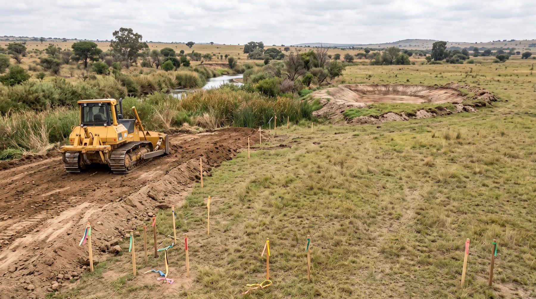
Filling in a Floodplain: Compensatory Storage and Why the Floodline Moves
· Written by Stephan Dreyer · Reviewed by Robert Fortuin
Filling part of a floodplain to lift a site out of the floodline is a common way for a development to raise flood levels for others. The fill occupies space the flood used to fill, so the same volume of water rises higher and spreads further, usually onto neighbouring land and upstream. Municipalities that allow it at all generally want the lost floodplain storage replaced, which engineers call compensatory storage.
Planning to raise part of a site near a river? We model the floodline with the fill in place, design the compensatory storage, and show the change in flood levels at your boundaries.
Floodline determinationWhy fill moves the floodline
A floodplain does two jobs in a flood: it carries flow, and it stores water while the flood peak passes. Fill interferes with both.
- Less flow area. Where the fill narrows the floodplain, the same flow has to pass through a smaller cross-section, so it flows deeper and faster.
- Less storage. Every cubic metre of fill below the flood level is a cubic metre of water that now has to go somewhere else. On flat floodplains this storage effect can matter more than the flow area.
- Changed flow paths. A raised platform can turn shallow sheet flow into a concentrated stream along its edge, with higher velocities and erosion on the neighbouring property.
The result is that the post-development floodline (with the fill) sits in a different place from the pre-development one. Our post on pre- vs post-development floodlines explains which line is used for what.
What compensatory storage is
Compensatory storage replaces the floodplain volume lost to fill by excavating an equal volume elsewhere on the site. For it to work, the replacement storage has to behave like the floodplain it replaces:
- At the same levels. Storage lost between two flood levels is replaced between the same two levels. A deep hole below the river’s normal water level does not help; it is already full when the flood arrives.
- Connected to the river. The excavated area must fill and drain freely with the flood, not sit behind a wall or depend on a pipe.
- Free-draining afterwards. It must empty as the flood recedes, or it becomes a permanent pond.
This is why the City of Cape Town’s floodplain policy speaks of “compensatory stage storage”. The policy does not permit filling below the 1:50-year floodline at all. Between the 1:50 and 1:100-year lines, filling needs a registered engineering professional to certify that it will not materially increase flood hazards for other property owners. And “in exceptional circumstances minor ‘smoothing’ of the 50 / 100 year floodline may be considered, provided equivalent compensatory stage storage volume is provided within the development precinct”. In practice, “stage storage” means matching the volume level by level, not just in total.
Compensatory storage keeps the floodplain’s storage roughly constant. It does not automatically fix flow-area or flow-path changes, so the floodline still has to be modelled with both the fill and the excavation in place.
Which approvals filling can need
Where the fill goes and how much there is decides the approvals:
| Where the fill is | Approval that may apply | Source |
|---|---|---|
| Next to any part of the stormwater system (in Cape Town this includes watercourses and their floodplains, on public or private land) | Municipal consent to “fill, excavate, shape, landscape” | Cape Town Stormwater Management By-law, section 4 |
| Within a floodplain in Johannesburg | A permit for clearing within a floodplain; documents by a professional engineer for work within a floodplain or 100 m of a watercourse centre line | Johannesburg Stormwater Management By-laws, sections 5 and 9 |
| Within the regulated area of a watercourse (the 1:100-year floodline or riparian edge, otherwise 100 m; 500 m around a wetland) | A section 21(c) and (i) water use authorisation: registration under GN 4167 if the risk is Low, otherwise a water use licence | GN 4167 of 2023 |
| Into a watercourse, more than 10 m³ | Environmental authorisation (Listing Notice 1, activity 19) | NEMA EIA Regulations |
Each is a separate approval from a separate authority. Our post on the lines that control building near a river explains the regulated area and the NEMA triggers.
Doing it properly
If raising part of a site is the only workable layout:
- Model the existing floodline first, so the baseline is fixed before anyone negotiates.
- Keep the fill out of the active flow path where possible; fill at the edge of the floodplain does less harm than fill across it.
- Design the compensatory storage level for level, connected to the river and free-draining.
- Model the post-development floodline with fill and excavation in place, and report the change in level at each neighbouring boundary.
- Set platform levels from the post-development line, with the freeboard your municipality requires.
See our floodline determination and hydraulic modelling services, or send us the site details.
This post explains the documents listed below. Requirements change and are applied case by case, so confirm them with the relevant authority before relying on them.
Documents referenced
Links go to official government copies wherever one is published online. Check for amendments before relying on a specific clause.
- Floodplain and River Corridor Management PolicyPolicy · City of Cape Town
- Stormwater Management By-law, 2005By-law · City of Cape Town
- Stormwater Management By-laws, 2010By-law · City of Johannesburg
- General Authorisation for water uses under section 21(c) and (i)Regulations · GN 4167 of 2023 · Department of Water and Sanitation
- EIA Regulations Listing Notice 1 (as amended)Regulations · GN 327 of 2017 · Department of Environmental Affairs (gazette copy hosted by KZN EDTEA)
Working on a site where flooding, stormwater, or floodlines are a concern? Send us a message about it and we’ll reply within one business day — no obligation.
Talk to an engineer