

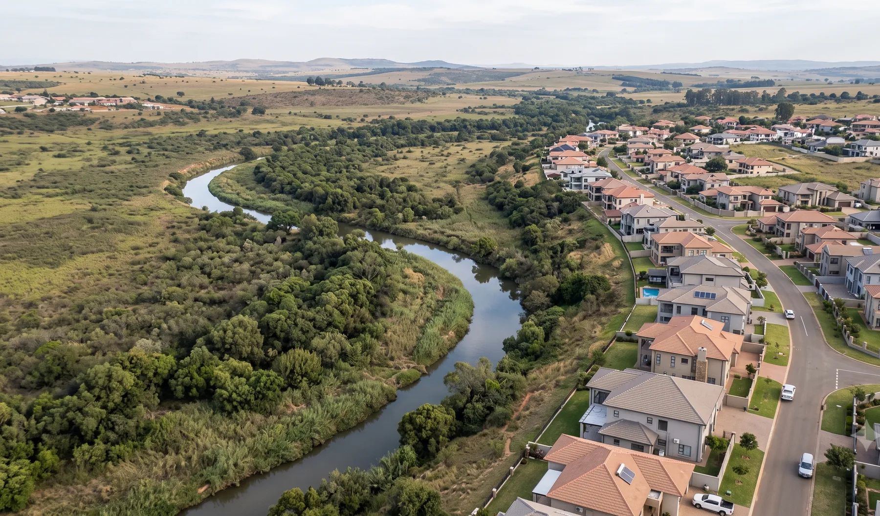
The Flood Specialists
Floodline and flood risk engineering for South Africa
Delta Hydro Engineers (Pty) Ltd delivers floodline determinations, flood risk assessments, and stormwater management plans for developers, municipalities, and consulting engineering firms — plus flood exposure work for insurers and custom software for water teams.
Not sure of scope yet? Just tell us about your site — no obligation, and we reply within one business day.
Stellenbosch · 33° 56′ S 18° 51′ E · SANS 10400-H · DWS
What we do
Three pillars, one practice
We are a hydrology and hydraulics practice with three lines of work: consulting, flood risk intelligence and custom software.
-
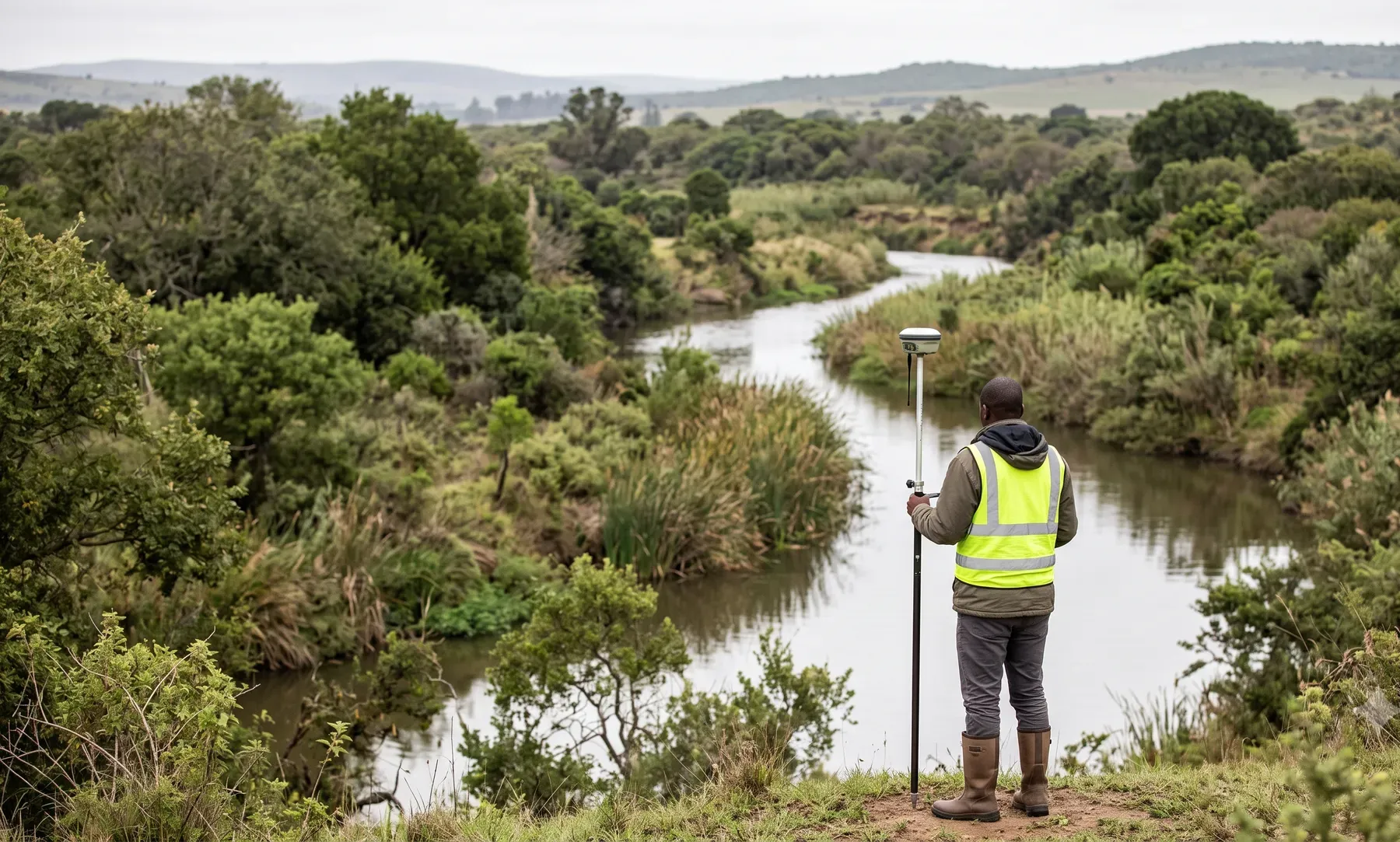
01 · Consulting
Consulting
Floodlines, hydrology, hydraulics, and stormwater studies for South African projects.
Explore
-

02 · Flood risk
Flood Risk Intelligence
Flood maps and flood risk assessments for any area of South Africa, built on local rainfall and gauge records.
Explore
-

03 · Software
Custom Software
QGIS plugins, dashboards, and bespoke water-engineering applications.
Explore
Sectors
Who we work with
Developers, consulting engineers, municipalities, mines, insurers, and road and rail authorities.
-

Floodlines & Stormwater for Developers
Floodlines, SMPs, and flood risk advice for South African property developers at rezoning, planning, and detailed-design stages.
-
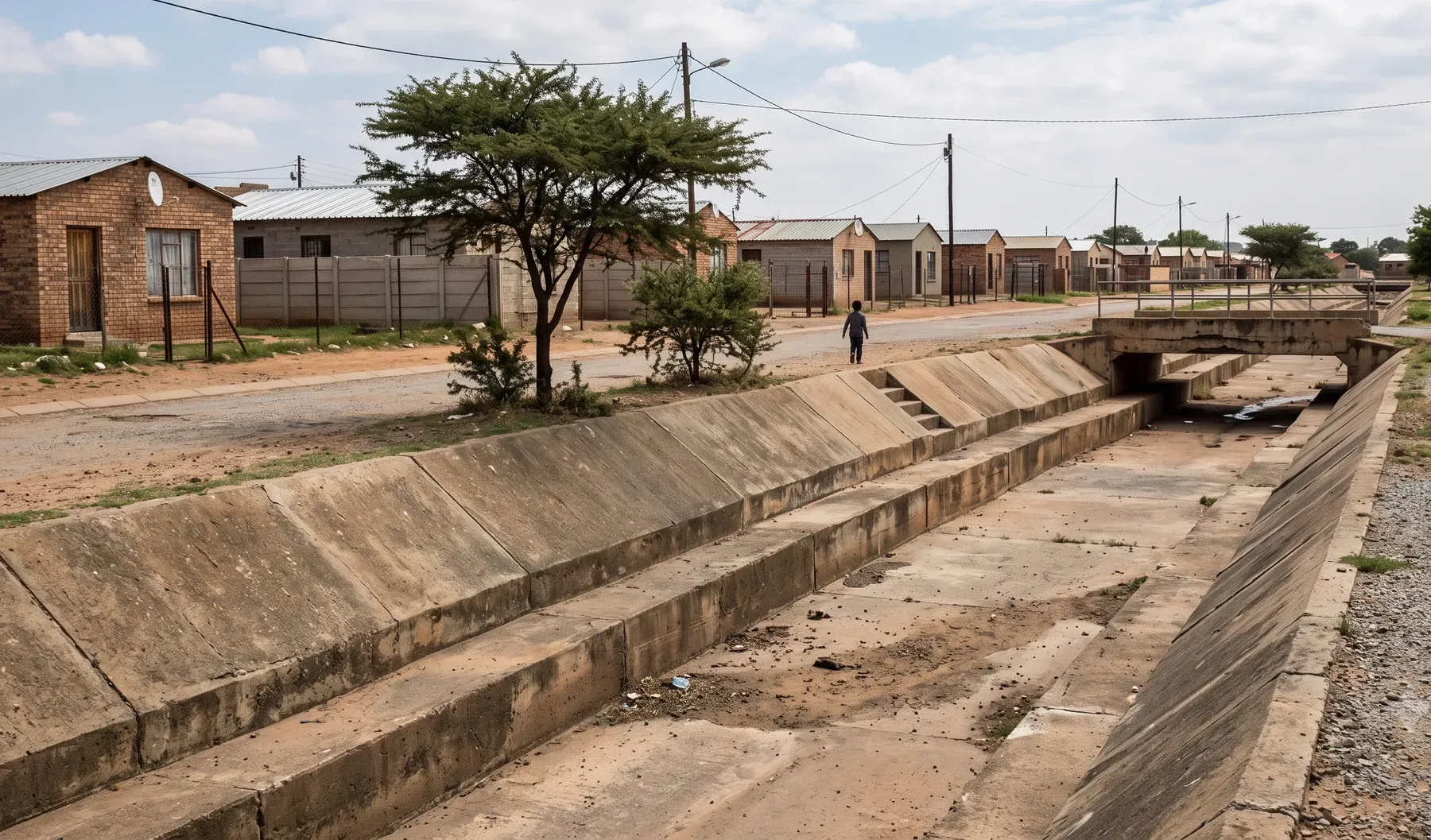
Stormwater & Flood Services for Municipalities
Stormwater management plans, floodline determinations, and flood hazard mapping for South African municipalities.
-
Sub-consultancy for Consulting Engineering Firms
Specialist hydrology, hydraulics, and flood modelling capacity for consulting engineering firms on a sub-consultancy basis.
-
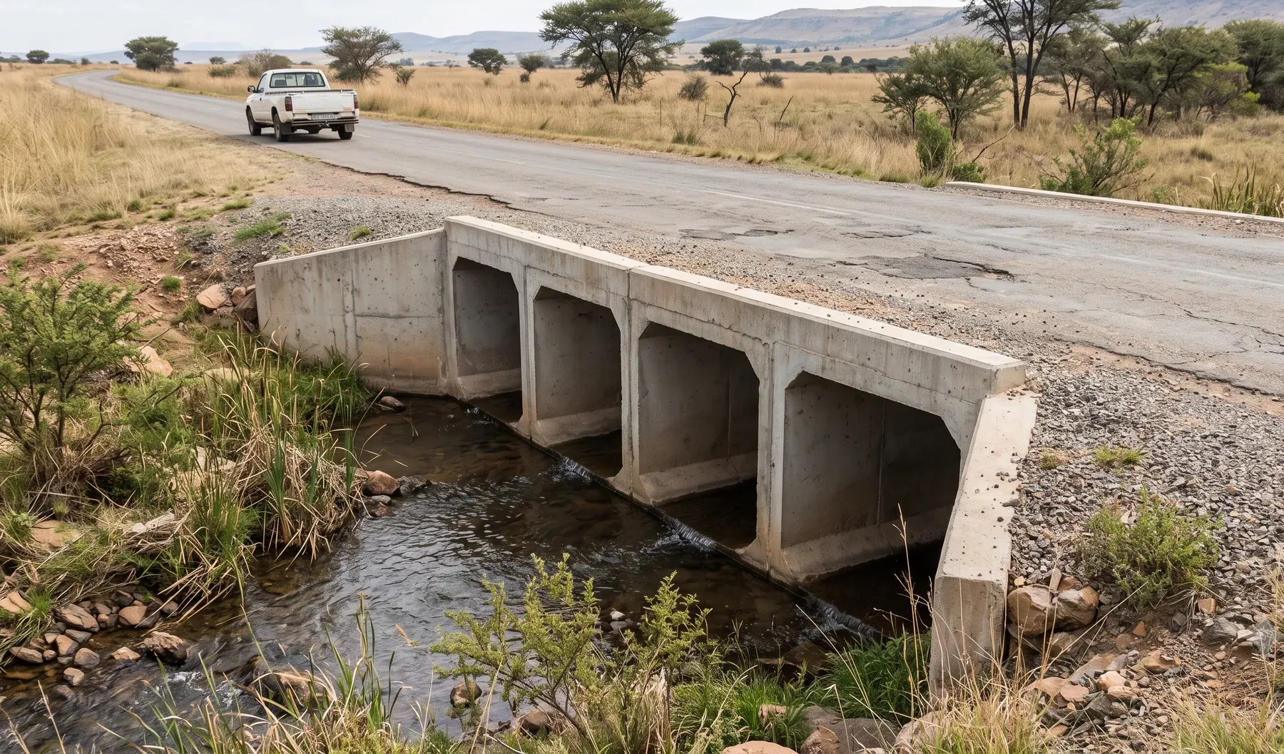
Drainage & Flood Studies for Roads & Rail
Drainage, culvert design, scour protection, and flood studies for roads and rail corridors in South Africa.
-

Flood Risk Intelligence for South African Insurers
Flood maps, property scores, portfolio exposure, claims evidence and post-event loss estimates for South African insurers, built on local rainfall and gauges.
-
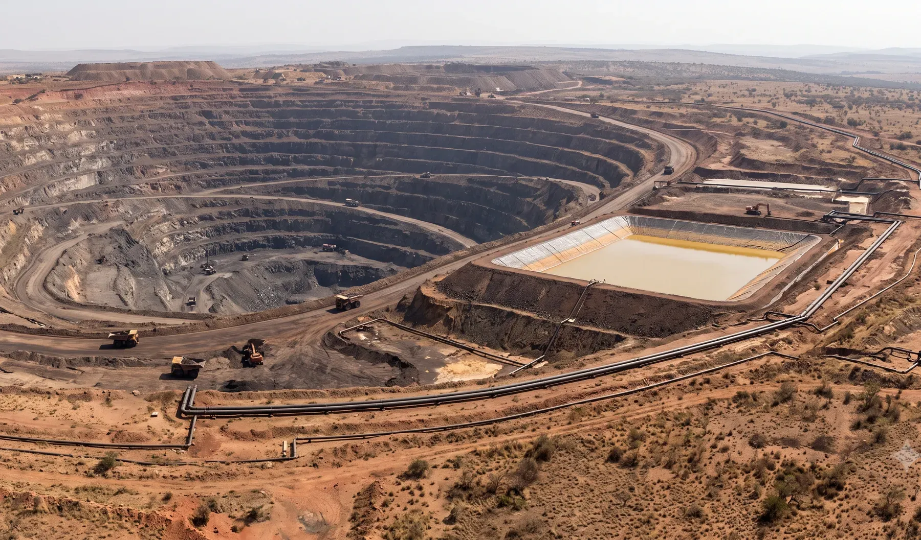
Water Management for Mining Operations
Mine water balances, TSF studies, pit dewatering, and flood studies for South African mining operations.
Flood maps and data
Flood risk intelligence
Flood maps and flood risk assessments for any area of South Africa, built from local rainfall and stream gauge records on 5 m terrain, for insurers, lenders, developers, municipalities and infrastructure owners.
5 m terrain · Local rainfall · Stream gauge records
-
Claims Dispute Support
Independent hydraulic evidence for contested flood claims: modelled extents at the date of loss, delivered as an expert report with GIS backing.
-
Flood Hazard Mapping
Depth-and-velocity flood hazard layers for insurers, engineers, and municipalities. Scoped engagement: GIS layers, methodology report, and reviewer brief.
-
Portfolio Exposure Quantification
Run a portfolio against our hazard layers. Expected annual loss, accumulation, and concentration metrics as a report plus data files — no black-box.
-
Post-Event Loss Modelling
Rapid flood footprint and portfolio loss estimate after a significant event. Scoped engagement for reinsurance reporting and reserve-setting timelines.
-
Property-Level Flood Risk Scoring
Flood score, return-period depths and supporting evidence for a South African address: per report, as batched data, on our platform or through an API.
-
Flood maps and flood risk data
The flood model behind every offering: terrain, rainfall, calibration, outputs and coverage.
Consulting
Featured consulting services
Each service page documents methodology, deliverables, South African standards context, and FAQs — so your reviewer, regulator, or peer can trace what we did and why.
-
01
Floodline Determination
1:100-year floodlines for rezoning, township layouts, mines and water use licences, signed by a registered engineer. Typical programme: 6 to 12 weeks.
Read more
-
02
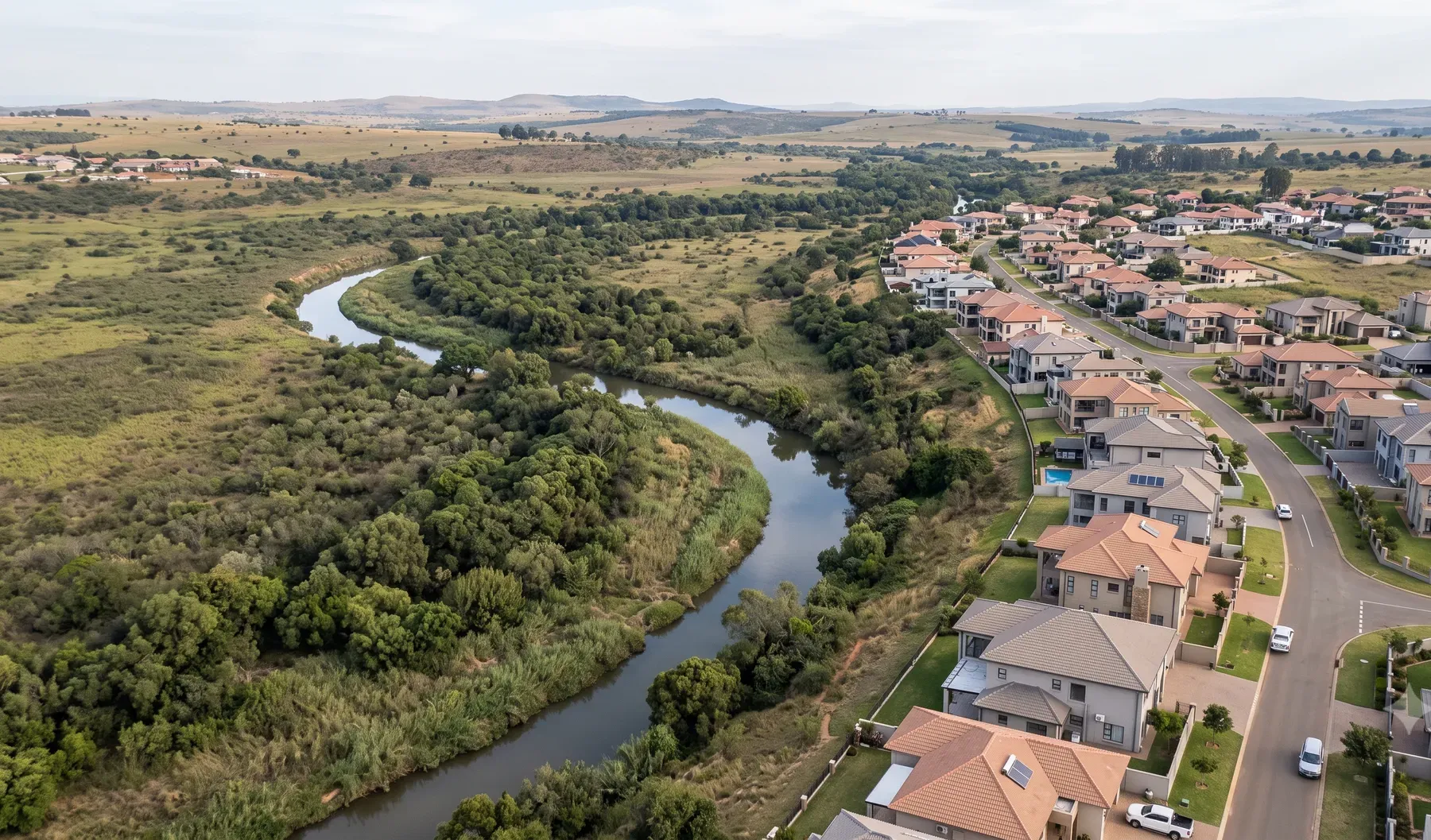
Flood Risk Assessment
Quantified flood risk for developers, mines and public-sector projects: depth and velocity scenarios, hazard maps and mitigation options with trade-offs.
Read more
-
03
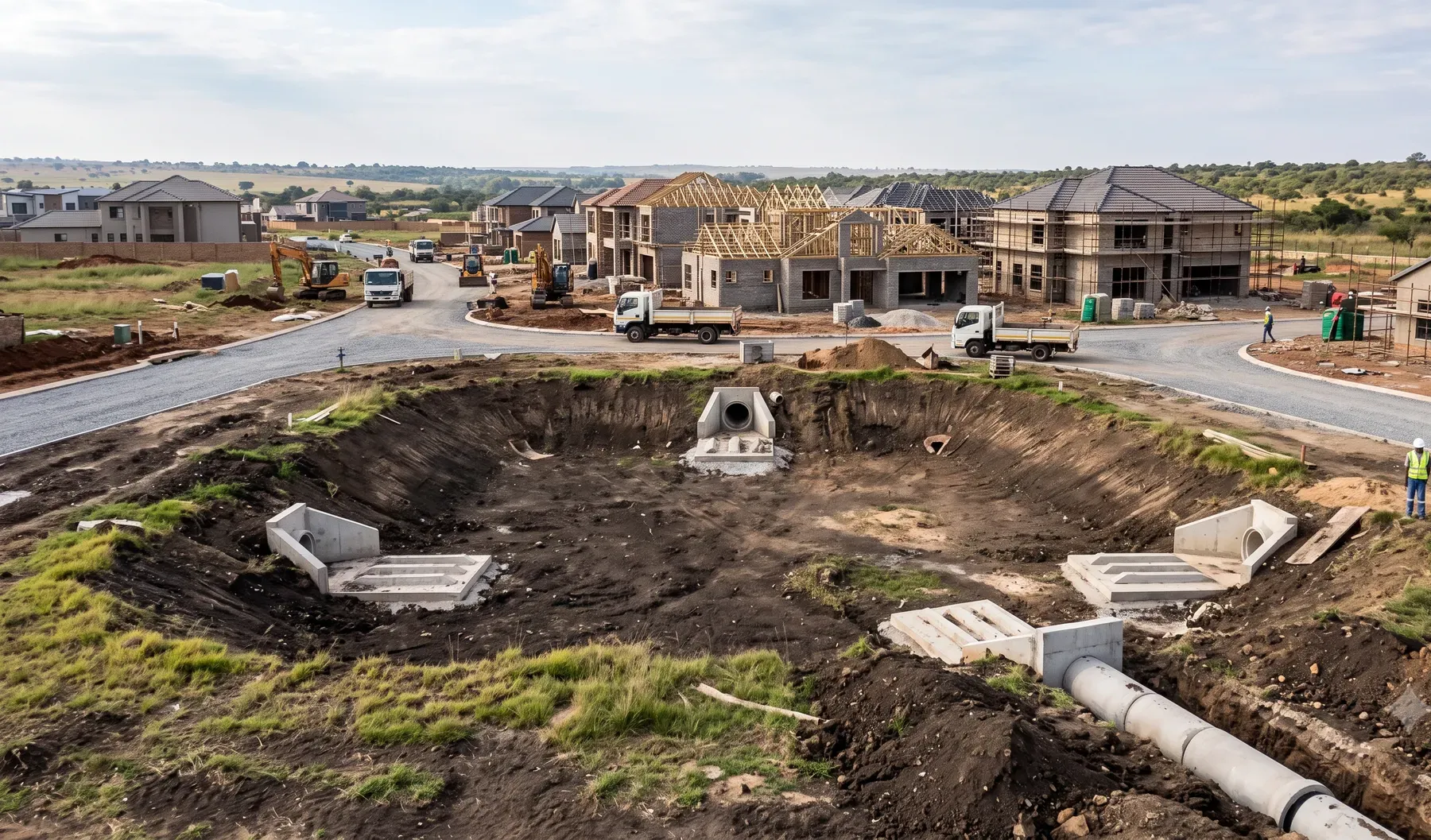
Stormwater Management Plans
Stormwater management plans for municipal approval: attenuation and outlet sizing, overflow paths, WSUD and maintenance schedules that contractors can price.
Read more
-
04
Hydraulic Modelling
1D, 2D and coupled hydraulic modelling in HEC-RAS and MIKE for floodlines, bridges and culverts, dam break routing and consequence mapping.
Read more
-
05
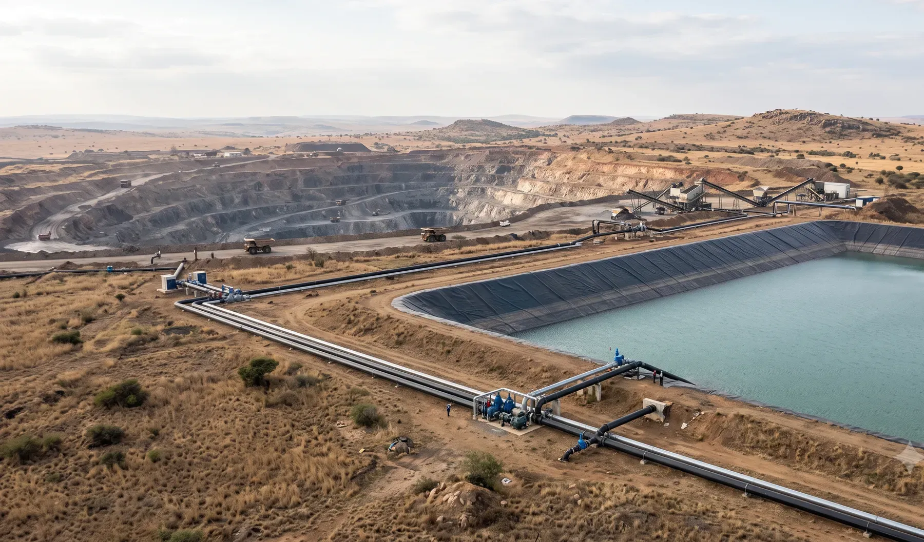
Mine Water Management
Runoff, pond and return-water planning for mines and TSFs, with rainfall scenarios for operating and closure phases and reporting for NEMA and DWS.
Read more
-
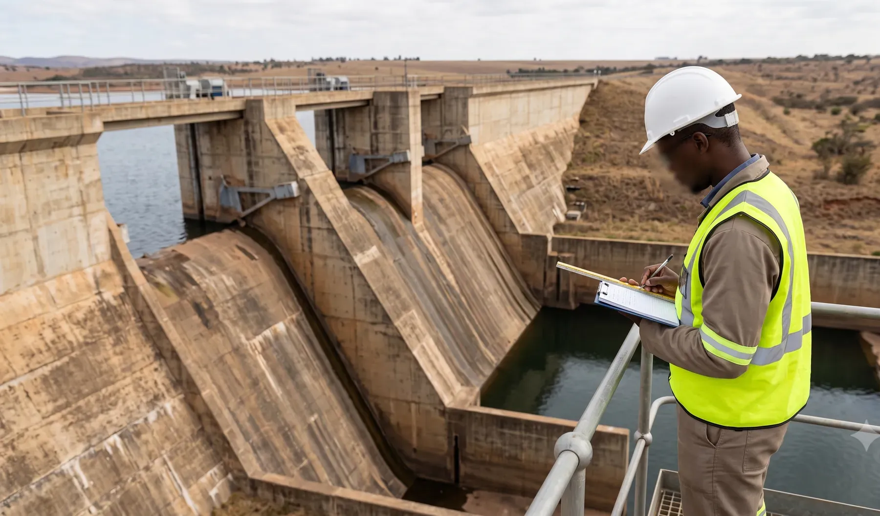
06
Dam Safety Evaluations
Inflow design floods, spillway ratings and reservoir routing for dam safety evaluations, to SANCOLD guidelines and the DWS dam safety regulatory process.
Read more
Knowledge Centre
Explainers & free calculators
How return periods, the Rational Method, design rainfall, and terrain data work in South African practice — plain-language explainers by our engineers, plus free screening calculators for time of concentration, flood risk, and peak flows.
-
Time of Concentration Calculator
Estimate Tc with the Kirpich and SANRAL Drainage Manual formulas from watercourse length and average slope.
-
Return Period & Flood Risk Calculator
Convert a return period to annual exceedance probability and the chance of at least one exceedance over a design life.
-
Rational Method Peak Flow Calculator
Compute peak discharge Q = C·i·A for small catchments, with hectare and square-kilometre inputs.
Articles
Latest from the blog
-
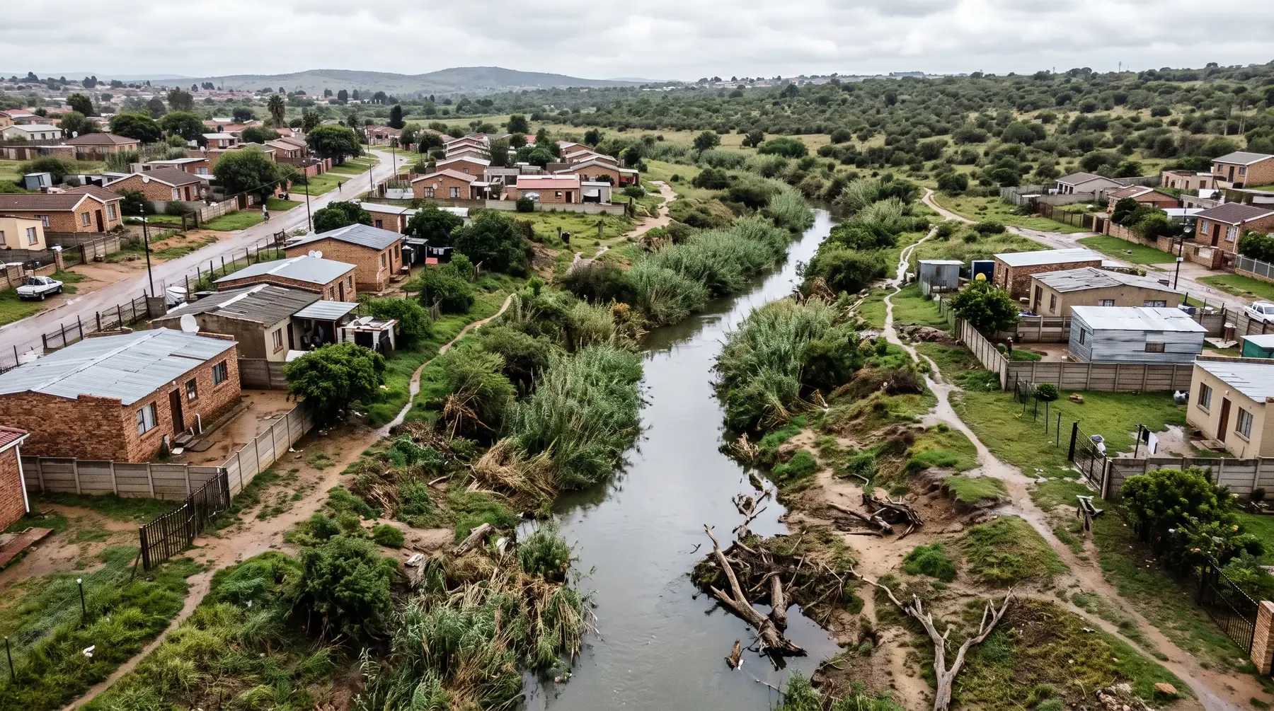
Building Near a River in South Africa: Every Law That Applies to Your Site
Which South African laws apply to a site next to a river, what each triggers and who decides: water use, environmental, building, mining, dams and coast.
Read article
-
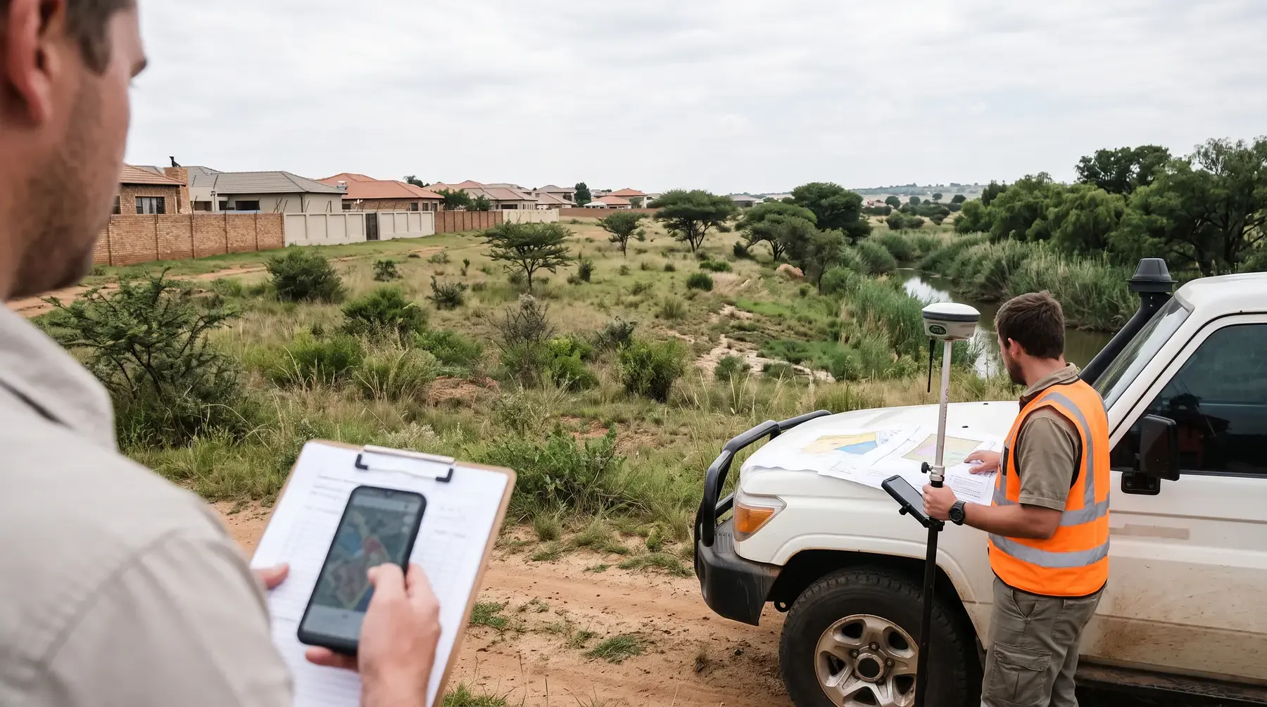
How to Check if a Property Is in a Floodline: Municipal Flood Maps, City by City
Where South African municipalities publish floodlines and flood maps, what those maps cannot tell you, and when only a floodline study will answer.
Read article
-
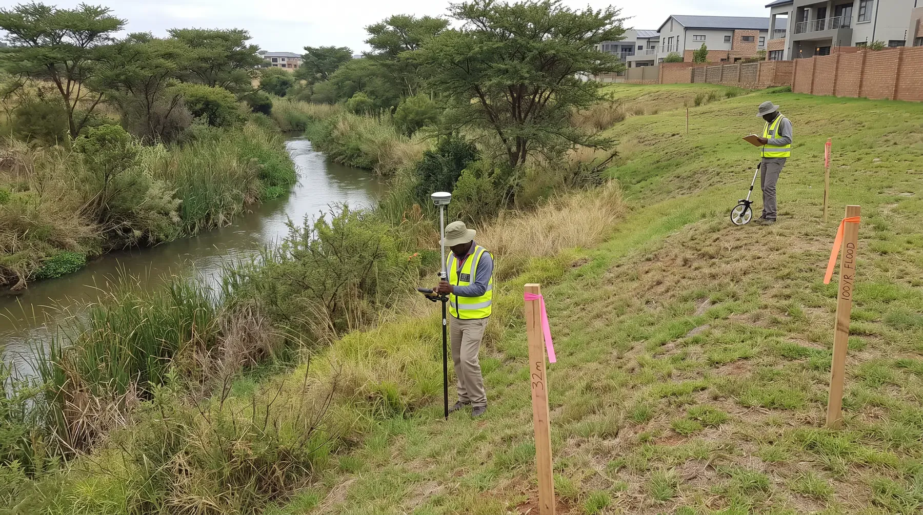
Floodline, Riparian Zone, 32 m or 100 m? The Lines That Control Building Near a River
The 1:100 floodline, the regulated area, the 32 m rule and municipal buffers come from four different laws. What each line controls near a river.
Read article
Context
Sectors and standards
Who our consulting work serves
Greenfield and infill residential and commercial developers, open-pit and underground mining houses, district and metropolitan municipalities, roads and rail environments, and consulting firms that need specialist hydrology or hydraulic modelling capacity on a sub-consultancy basis.
South African context
Our work routinely references SANS 10400-H, municipal stormwater and flood line policies, SANRAL drainage guidance where applicable, and DWS flood line and water-use processes — always tied to the specific site, catchment, and receiving environment you are working in.
Locations
Where we work
We support projects nationwide and prepare location-specific briefs for major centres. Each city hub links to every consulting discipline we offer, with introductory context for that region's climate, topography, and typical authority questions.
City hubs plotted at their coordinates · Head office: Stellenbosch
Start a conversation
Tell us about your project
Tell us the geography, the audience, and the problem you are trying to solve. We will tell you what we can deliver today, what is on the roadmap, and what a scoped proposal looks like.
Reply within one business day