

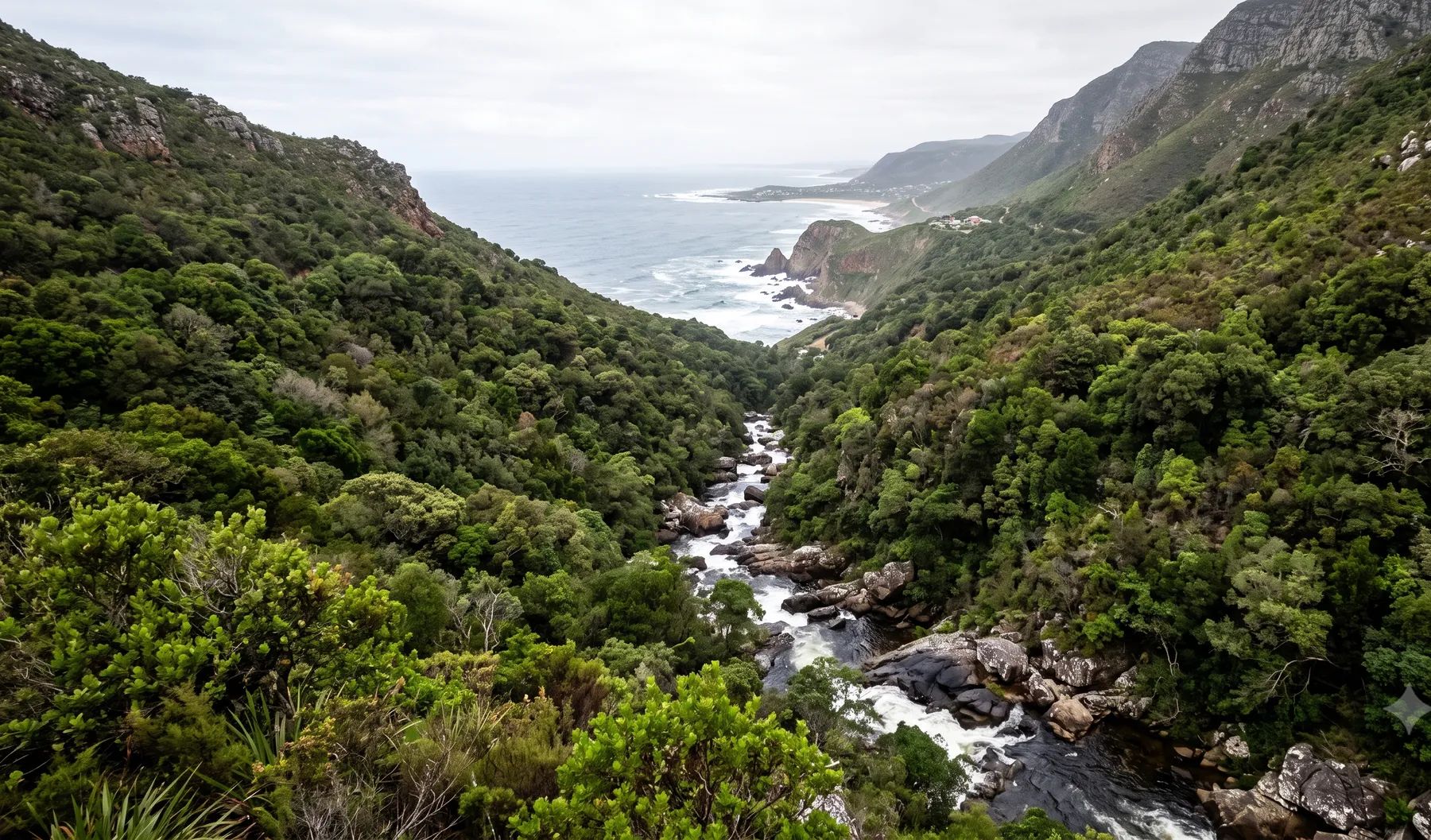
The Garden Route’s rivers are steep. They fall from the Outeniqua Mountains, respond rapidly to heavy rain, and reach the coast through estuaries and lakes whose mouths open and close. In May 2026, parts of the region had more than 280 mm in four days, and two national disasters were declared. George is one of the few municipalities that publish floodlines online, for the Schaapkop, Meul and Gwaing rivers. Its stormwater by-law lets it refuse permanent development below the 50-year floodline.
Rivers that shape flood risk around George
Loading map…
| River | Where it runs | What matters for flood studies |
|---|---|---|
| Gwaing, Schaapkop and Meul | Drain George itself; the Gwaing rises in the Outeniqua Mountains | The only rivers with published 1:50 and 1:100-year floodlines; the Municipality is drafting river management plans for all three |
| Kaaimans River | Rises in the Outeniqua Mountains at George and reaches the sea west of Wilderness | The N2 near the Kaaimans was badly damaged in the August 2006 flood |
| Touw River and the Wilderness lakes | The Touw flows into the Wilderness estuary; the Serpentine links it to Island Lake, Langvlei and Rondevlei | The estuary mouth is open only about 30% of the time and is breached at set levels to protect low-lying homes |
| Knysna River | Into the Knysna estuary | The estuary mouth is permanently open; South Africa’s top-ranked estuary for conservation importance |
| Keurbooms and Bitou rivers | Meet about 3.5 km from the sea at Plettenberg Bay | A road bridge at Wittedrift and a causeway over the Bitou obstruct flood flows |
| Piesang River | Into Plettenberg Bay | Burst its banks near the Beacon Isle Hotel in May 2026 |
Rain falls all year on the coastal belt. The rivers are steep, high-gradient streams that respond rapidly to rain (DWAF State of Rivers report, 2007). In the May 2026 floods, the district put the cause down to a deep low-pressure system that intensified offshore before making landfall.
Recent floods
- May 2026. Between 4 and 7 May, George Airport recorded 150 mm, Wilderness 166 mm, Plettenberg Bay 277 mm and Knysna’s Kleingrysbos station 287 mm (Garden Route command centre, via George Herald). The Piesang River burst its banks in Plettenberg Bay (Garden Route District), about 650 people were sheltered across the region by 12 May, and the storms were declared national disasters twice: from 4 May, and again from 10 May (Notice 7514 of 2026).
- June 2022. George measured 75 mm before 8am on 24 June and 30 mm more that day. Houses in Wilderness flooded and walls collapsed at Herolds Bay (George Municipality).
- November 2007. Two people died and more than 1 500 were evacuated (Mail & Guardian).
- August 2006. About 300 mm fell in 48 hours across most of the region, with damage estimated at R350 million (DWAF, 2007).
The same DWAF report notes that development sited below the 1:50-year floodlines added to the damage, and that felled alien trees left in river valleys were washed down as flood debris.
Floodline and stormwater rules in the Garden Route
- George Stormwater By-law (2023), section 26. Layout plans must show the 50- and 100-year floodlines, and the City may refuse permanent residential, commercial or industrial development below the 50-year line. Lowest floors should be above the 100-year flood level “where possible”. New development must attenuate to pre-development peaks, and the 50-year floodplain is defined on a fully developed catchment.
- George Integrated Zoning Scheme, section 21(3). Building setbacks of the 1:100-year floodline, or 32 m from a watercourse edge where no floodline exists.
- Garden Route District Coastal Management Programme (2022). No infilling or excavation within the 1:100-year floodline of a river or estuary, and delineating floodlines is the developer’s responsibility.
- Knysna and Bitou. Knysna has no stormwater by-law or floodline rule; Bitou’s stormwater by-law lets the municipality require floodlines.
See freeboard and floor levels, pre- vs post-development floodlines and why floodlines go out of date.
Where to find an existing floodline
George’s public GIS has 1:50 and 1:100-year floodlines for the Schaapkop, Meul and Gwaing rivers and their tributaries, with no date or author recorded. The same service publishes a coastal management line, modelled wave run-up for the 10- to 100-year events, erosion risk lines, a 64 m river buffer, and catchment and coastal flood risk layers for 2050. The province publishes current and future floodlines for the Groot and Klein Brak near Mossel Bay. Elsewhere on the Garden Route, most sites need a study. Our guide on checking whether a property is in a floodline covers what to look for.
Approvals beyond the municipality
George, Knysna and Bitou fall under the Breede-Olifants Catchment Management Agency, which has a contact point at 101 York Street, George. Applications are made online through the Department of Water and Sanitation’s e-WULAAS system, and estuaries bring the coastal management programme and the Western Cape’s environment department into most applications. Our guide to getting permission to build in a floodplain sets out the order of approvals.
What to settle early on a Garden Route site
- The published line’s age. George’s floodlines carry no date; check whether they still reflect the catchment, especially after May 2026.
- The fully developed catchment. George defines its 50-year floodplain on a fully developed catchment, so model the future, not today.
- River or estuary. Near the coast, flood levels depend on the estuary mouth as much as on the river.
- Coastal lines. Wave run-up and coastal management lines can govern before the river floodline does.
To brief a study, see our floodline determination and flood risk assessment services, or send us the site. You can drop a pin on the map in the contact form.
Local rules, rivers and flood records checked October 2026 by Robert Fortuin . Rules change, so confirm them with the municipality before relying on them.
Documents referenced
Links go to official government copies wherever one is published online. Check for amendments before relying on a specific clause.
- By-law relating to Stormwater, 2023By-law · George Municipality
- George Integrated Zoning Scheme By-law (as amended 2026)By-law · George Municipality
- George GIS portalMap viewer · George Municipality
- Bitou Stormwater By-lawBy-law · Bitou Municipality
- Garden Route District Coastal Management Programme (2022)Policy · Garden Route District Municipality
- State of Rivers Report: Gouritz Water Management Area (2007)Guideline · Department of Water Affairs and Forestry, River Health Programme
Services available in George
Each link opens a brief for that service in George: regional context, typical drivers, and how we would approach a study in the area.
- Floodline Determination
- Flood Risk Assessment
- Stormwater Management Plans
- Drainage Design
- Hydrological Studies
We take on the rest of our services in George too.
Beyond consulting in George
Our work in George fits into a broader practice: flood risk intelligence for insurers, custom software for water teams, and dedicated sector hubs covering the audiences we serve.
Flood Risk Intelligence
Hazard maps, portfolio exposure, claims-dispute support, and post-event loss modelling.
Explore offerings
Custom Software
QGIS plugins, dashboards, data pipelines, bespoke applications — built around your workflow.
Explore offerings
Sectors we work with
Insurance, mining, municipalities, developers, consulting engineers, and roads & rail.
All sectors
Talk to an engineer about work in George
Get in touch