

How Old Can a Floodline Be? Why Floodlines Go Out of Date
· Written by Stephan Dreyer · Reviewed by Robert Fortuin
A floodline does not expire on a date, but it can stop being right. It reflects the catchment, the river channel, the bridges and culverts, and the rainfall and terrain data available when it was drawn. Change any of those and the line moves. The only fixed limit we found is Polokwane’s: for township establishment, the 1:50 and 1:100-year floodlines on the layout plan must be certified and not more than three years old. Elsewhere, the question is whether the line still describes the site.
Have an old floodline for your site? We check whether it still holds, and redo only the parts that no longer stand.
Floodline determinationSix things that make a floodline out of date
- The catchment has developed. New roofs, roads and paving upstream send more water, faster. A line drawn for yesterday’s catchment sits too low. For this reason, Cape Town’s floodplain policy requires the foreseeable ultimate development of the catchment to be considered when calculating runoff.
- A structure has changed. A new bridge, a culvert upgrade or a blocked culvert changes water levels upstream. So does a new road embankment across the floodplain.
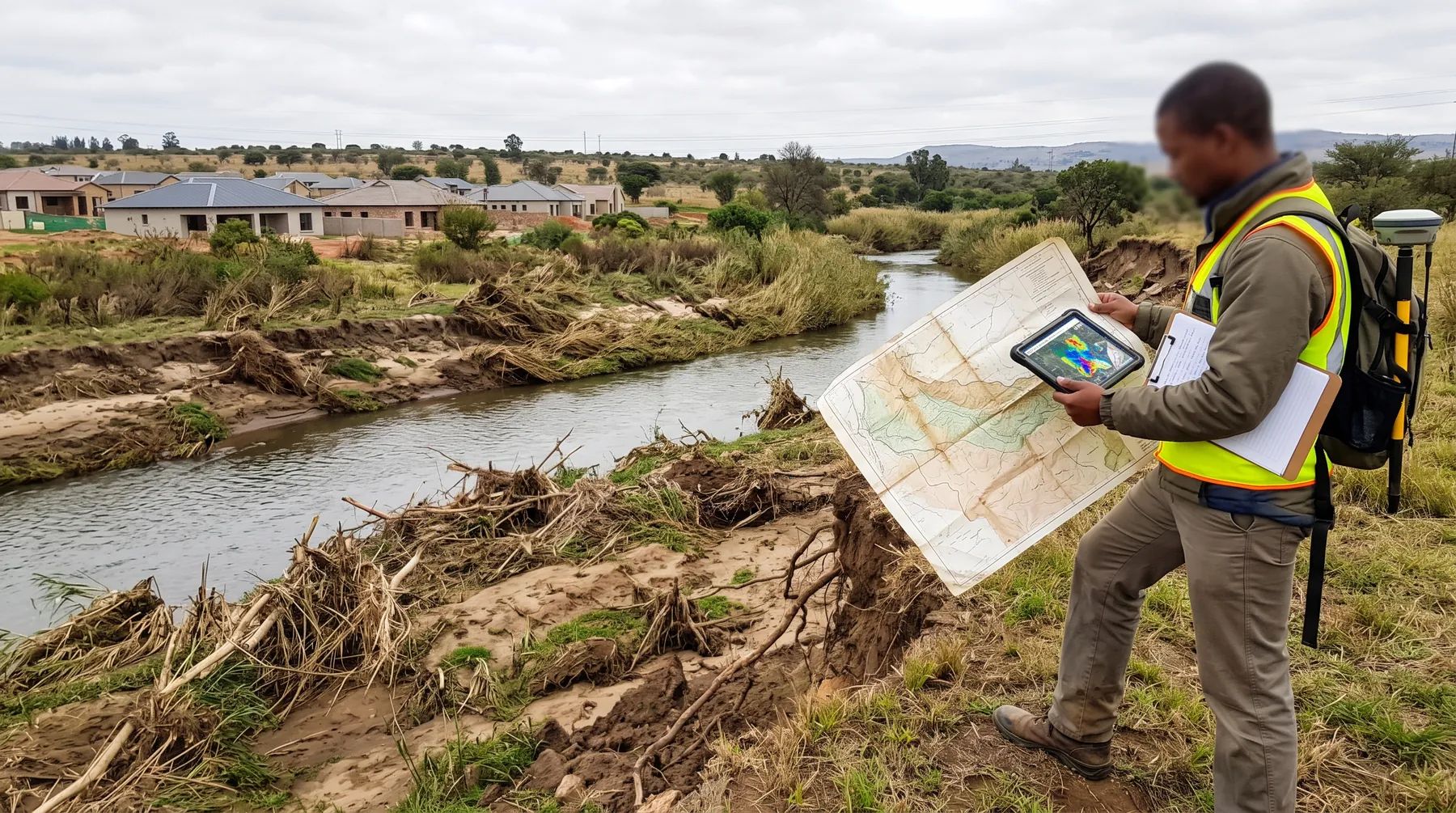
- The channel has changed. Floods erode banks and deposit sediment; reeds and alien trees colonise the channel. Each changes the river’s capacity.
- Better terrain data exists. A floodline drawn from coarse contours can move tens of metres once it is redrawn on LiDAR or a proper survey.
- The record now includes a bigger flood. A major flood adds a large value to the record and can raise the estimated 1:100-year flood. Climate change pushes in the same direction; see our post on climate change and floodlines.
- The method or the rules changed. Cape Town requires floodlines to be based on the theoretical energy level rather than the water surface, which puts the line higher on the bank than older water-surface lines. A line drawn to an older standard may not be accepted.
What municipalities say about age
| Municipality | Rule | Source |
|---|---|---|
| Polokwane | For township establishment, the 1:50 and 1:100-year floodlines must be certified on the layout plan, “not more than 3 years old” | Municipal Planning By-law, form F-10(A1) |
| eThekwini (Durban) | The published 100-year flood plain was captured between 1985 and 2012; the City is revising its floodlines after floods exceeded the 1:100-year event | Open data layer; Mayor’s statement, March 2025 |
| Others we checked | No fixed age found; decided case by case | None found |
eThekwini’s case shows why age matters. In March 2025 the Mayor said “the 2017, 2019, 2022, and 2023 floods were greater than the 1:100-year flood in certain parts of the city”. A flood plain mapped before 2012 cannot reflect those events.
When to update a floodline
Update, or at least check, an existing floodline before you rely on it if:
- you are submitting a new application, and the line was drawn for a different purpose or layout;
- development upstream has changed the catchment since it was drawn;
- a bridge, culvert or embankment in the reach has been built, changed or blocked;
- a major flood has happened since, especially one that reached or passed the mapped line;
- better terrain data, such as LiDAR, now exists for the site;
- the municipality’s floodline requirements have changed.
Updating does not always mean starting again. If the hydrology still holds, the hydraulic model can be rerun on new survey or with a changed structure. If the catchment has changed, the hydrology needs redoing first. The report should state what changed and why, so the reviewer can follow it. Our post on pre- vs post-development floodlines explains the catchment question in more detail.
See our floodline determination service, or send us the existing floodline report and we will tell you whether it still holds.
This post explains the documents listed below. Requirements change and are applied case by case, so confirm them with the relevant authority before relying on them.
Documents referenced
Links go to official government copies wherever one is published online. Check for amendments before relying on a specific clause.
- Polokwane Municipal Planning By-law (amended 2025)By-law · Polokwane Municipality
- Flood Plain 100yr (open data)Map viewer · eThekwini Municipality
- Statement by eThekwini Mayor on the recent storm disaster (3 March 2025)Policy · eThekwini Municipality
- Floodplain and River Corridor Management PolicyPolicy · City of Cape Town
Working on a site where flooding, stormwater, or floodlines are a concern? Send us a message about it and we’ll reply within one business day — no obligation.
Talk to an engineer