

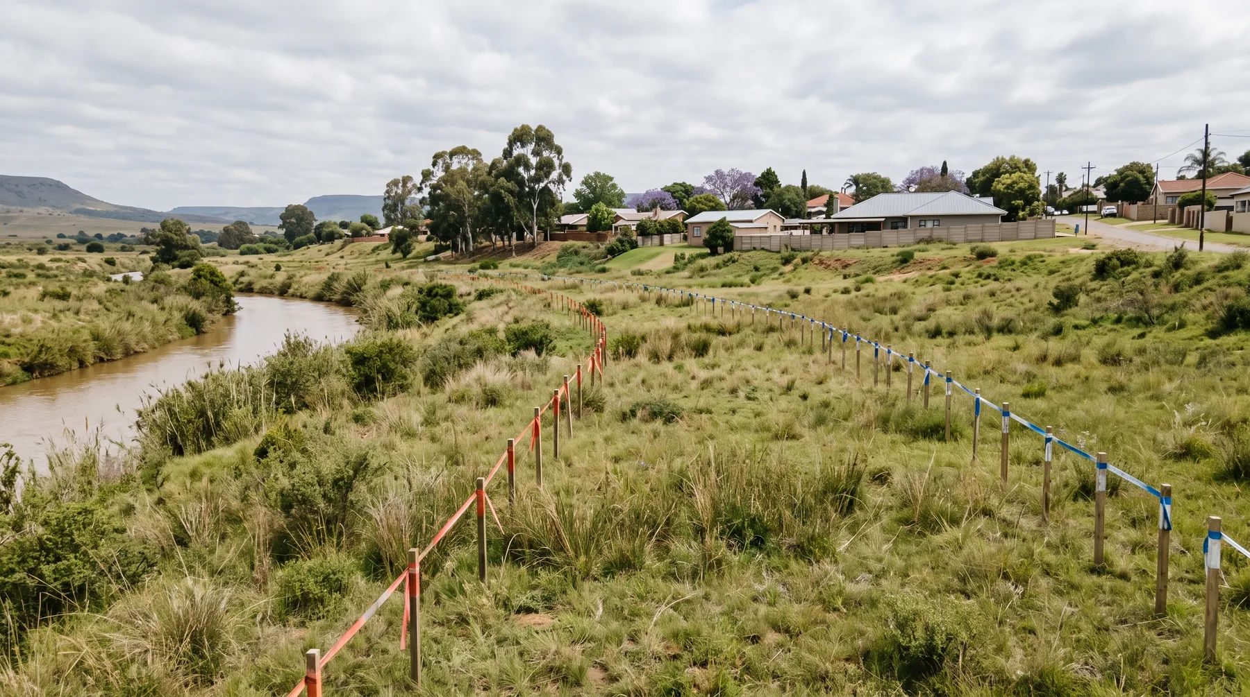
Between the 1:50 and 1:100-Year Floodlines: What Each Municipality Allows
· Written by Robert Fortuin · Reviewed by Stephan Dreyer
No national law bans building below the 1:100-year floodline. Section 144 of the National Water Act only requires the line to be shown on township layout plans. What you may build below it is set by each municipality’s land use scheme, by-laws and policies, and the rules differ widely. Most municipalities with a written rule bar or restrict building below the 1:50-year line and allow development between the 1:50 and 1:100-year lines only on conditions. A few draw the limit at the 1:100-year line itself.
Not sure which line governs your site? We determine the 1:50 and 1:100-year floodlines and show what the municipality's rules mean for your layout.
Floodline determinationMunicipality by municipality
| Municipality | Below the 1:50-year line | Between the 1:50 and 1:100-year lines | Source |
|---|---|---|---|
| Cape Town | No filling; no formal residential development; no obstruction to flow inside the 20-year line | Conditional for formal housing: floors above the 1:100-year level and basements flood-proofed to the 1:50-year level. Filling and other works need an engineer’s certificate of no material increase in flood hazards for others. No new or existing rights in the high hazard zone at all | Floodplain and River Corridor Management Policy 2009 |
| Johannesburg | No development | No development within the 1:100-year flood area, or the riparian zone plus a buffer of 30, 32 or 50 m, whichever is greater | Land Use Scheme 2018 (2025 review), cl 50(3)(a) |
| Nelson Mandela Bay | The Municipality may prohibit buildings or set conditions | The Municipality may prohibit buildings or set conditions within the 50- to 100-year floodline | Land Use Scheme 2023, cl 56 |
| George | The City may refuse new permanent residential, commercial or industrial development | Lowest floors above the 100-year flood level “where possible” | Stormwater By-law 2023, s26 |
| Msunduzi (Pietermaritzburg) | No habitable buildings | Ground floors at least 300 mm above the highest flood on record for the land | Single Land Use Scheme 2024, cl 5.43 |
| Mangaung (Bloemfontein) | No building without the Municipality’s consent (in force); no development (draft) | The Municipality may prohibit or restrict use, and permission needs a registered professional engineer’s motivation (draft). On open space and conservation land, no development within the 1:100-year flood area or the riparian zone plus 30 m (draft) | Building Regulations By-law (PN 54 of 2019), s9; draft Land Use Scheme amendment 2025, Floodlines definition and reg 21(2) |
| Polokwane | No building on land likely to flood once in 100 years without approval | As for the 1:50-year line | Integrated Land Use Scheme 2022, cl 13 |
| Mbombela | No development within the 1:100-year line or a 32 m riparian buffer inside the urban edge (100 m outside) without provincial environmental consent | As for the 1:50-year line; building below the 1:100-year line also needs the City to approve the construction method | Land Use Scheme 2019, cl 6.8.1 and 5.17.2(d) |
| Stellenbosch | The Municipality may refuse any new permanent residential, commercial or industrial development below the by-law’s “flood line” (the 1:50-year line) | The spatial development framework rules out development below the 1:100-year line on river banks susceptible to flooding | Stormwater By-law 2021; Spatial Development Framework 2019 |
| Tshwane | No explicit ban | No explicit ban; the City can require both lines, certified, on any application it specifies | Land Use Scheme 2024, cl 18(10)(h) |
Mines must also comply with GN 704: residue deposits, dams and reservoirs stay outside the 1:100-year line and at least 100 m from any watercourse, and mining outside the 1:50-year line, or 100 m from the watercourse where that is further. Our city pages cover each municipality’s rivers and rules in more detail.
What “conditional” usually means
Where a scheme allows development between the lines on conditions, the conditions usually cover:
- Floor levels above the 1:100-year flood level, often with a margin. Cape Town’s standards ask for at least 250 mm, measured to the energy level. See freeboard and floor levels.
- No harm to others: an engineer showing that the development does not raise flood levels or velocities on neighbouring land. See will my development flood my neighbours?
- No filling without compensation: lost floodplain storage replaced at the same levels. See filling in a floodplain.
- A record on the title: Cape Town’s policy can require a notarial deed of restraint and endorsed building plans.
The national approvals still apply
The municipal rules sit on top of national ones that apply anywhere inside the 1:100-year line. The 1:100-year floodline marks the edge of the regulated area of a watercourse (or the riparian edge, if that is further out). Work inside it that impedes or diverts flow, or alters the bed or banks, is a water use that needs registration or a licence, and the Department treats even a single house there as needing registration. Structures within 32 m of a watercourse can also trigger environmental authorisation. Our post on the four lines that control building near a river explains each line, and permission to build in a floodplain sets out the approvals in order.
Why the band between the lines matters
The 1:50-year flood has a 2% chance of being equalled or exceeded in any year; the 1:100-year flood, a 1% chance. Over a 50-year building life, a building just inside the 1:100-year line has roughly a 40% chance of being reached by that flood at least once. Land between the lines floods less often than land below the 1:50-year line, but it still floods, and the depth and speed of the water decide how dangerous it is. That is why the conditions above focus on floor levels and on not making things worse for anyone else.
See our floodline determination and flood risk assessment services, or send us the site.
This post explains the documents listed below. It is not legal advice; requirements change and are applied case by case, so confirm them with the relevant authority before relying on them.
Documents referenced
Links go to official government copies wherever one is published online. Check for amendments before relying on a specific clause.
- National Water ActAct · Act 36 of 1998 · Department of Water and Sanitation
- Floodplain and River Corridor Management PolicyPolicy · City of Cape Town
- City of Johannesburg Land Use Scheme 2018 (2025 review)By-law · City of Johannesburg
- Nelson Mandela Bay Land Use Scheme 2023 (Provincial Gazette 4981)By-law · Nelson Mandela Bay Metropolitan Municipality
- By-law relating to Stormwater, 2023By-law · George Municipality
- Single Land Use Scheme (October 2024)By-law · Msunduzi Municipality
- Land Use Scheme as amended, February 2025 (draft)By-law · Mangaung Metropolitan Municipality
- Polokwane Integrated Land Use Scheme 2022By-law · Polokwane Municipality
- City of Mbombela Land Use Scheme 2019By-law · City of Mbombela
- Stormwater By-law, 2021By-law · Stellenbosch Municipality
- Stellenbosch Spatial Development Framework (2019)Policy · Stellenbosch Municipality
- Building Regulations By-law (Verordening op die bouregulasies)By-law · Provincial Notice 54 of 2019 · Mangaung Metropolitan Municipality
- Regulations on use of water for mining and related activitiesRegulations · GN 704 of 1999 · Department of Water and Sanitation
- Standards and Guidelines for Roads and Stormwater, Version 3.0 (February 2022)Standard · City of Cape Town
Working on a site where flooding, stormwater, or floodlines are a concern? Send us a message about it and we’ll reply within one business day — no obligation.
Talk to an engineer