

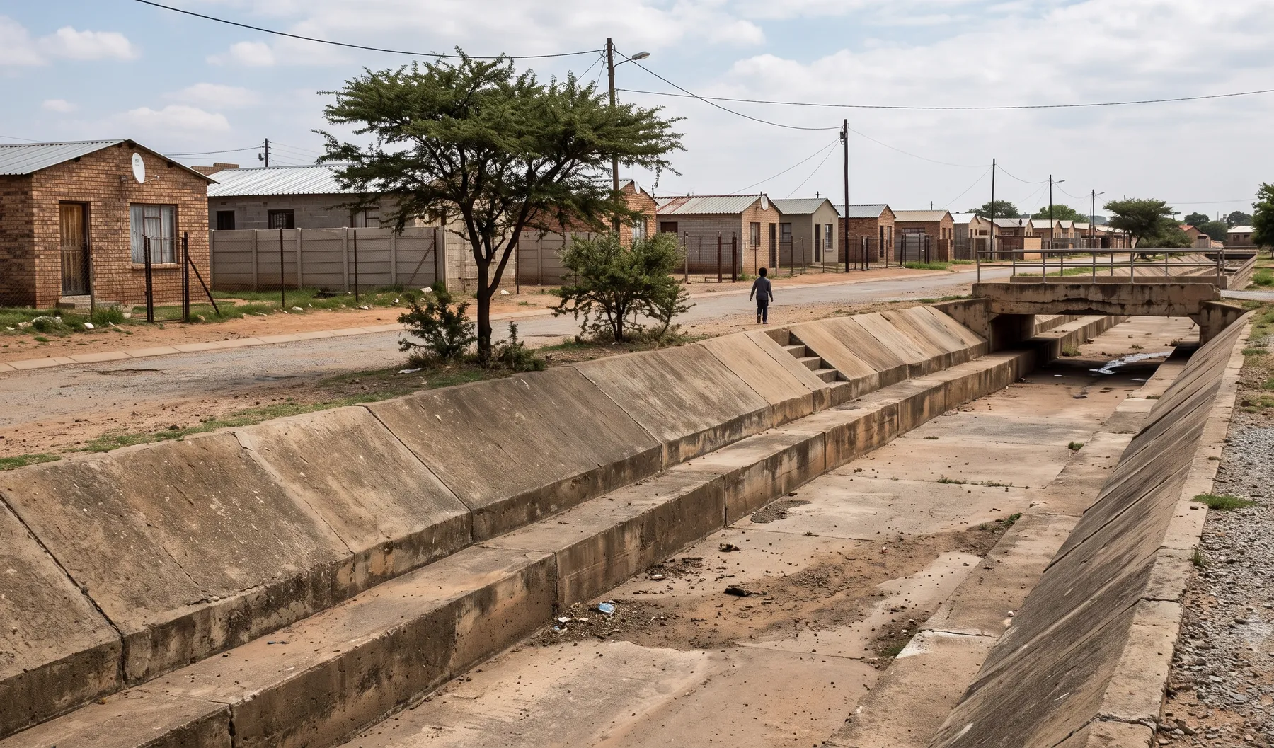
Sector
Stormwater & Flood Services for Municipalities
Stormwater management plans, floodline determinations, and flood hazard mapping for South African municipalities.
- SMPs that withstand council and DWS scrutiny
- Floodline studies for planning and building-control processes
- Flood hazard mapping for new layouts and infill
- Operational dashboards for ongoing stormwater performance
What we offer
Consulting
- Catchment Studies
- Culvert Design
- Detention Basin Design
- Drainage Design
- Flood Damage Assessment
- Flood Risk Assessment
- Floodline Determination
- Hydraulic Modelling
- Hydrological Studies
- Rainwater Harvesting Design
- Stormwater Management Plans
- Surface Water Management
- Water Use Licence Applications (WULA)
Flood Risk Intelligence
- Flood Hazard Mapping Beta — growing coverage
Flood risk intelligence coverage for this sector
We are building toward national coverage. Each offering below shows where it stands today.
Available today with established methodology.
- —
In development — not yet available as a live offering.
- —
Why municipalities work with us
Municipal reviewers carry the consequences of a floodline or SMP that does not hold up — flooded platforms, blocked culverts, disputes with developers. We build studies, and review developer-submitted studies, to the same standard: assumptions traced to a source, design events stated explicitly, and limitations disclosed rather than hidden — alongside DWS watercourse and water-use requirements where they apply.
Where we are reviewing someone else’s work rather than producing our own, we give you a clear, defensible basis for either approving or sending it back — not just an opinion.
How we work with municipalities
Engagements typically take one of three shapes:
- Direct studies. Catchment studies, hydraulic modelling, or floodline determination commissioned by the municipality for planning, master-planning, or infrastructure design purposes.
- Independent review. Technical review of developer-submitted floodlines, SMPs, or flood risk assessments against your policy, giving your planning or engineering department a defensible basis for a decision.
- Standing capacity. Sub-consultancy support during peak submission periods, so review turnaround does not become the bottleneck in your planning process.
We are used to working within municipal procurement and reporting requirements, and can scope engagements as once-off studies or standing arrangements.
What we check on a review
A developer-submitted floodline or SMP review works through the same sequence every time: is the design storm and return period correct for the policy in force, is the catchment delineation and time of concentration defensible for the terrain, does the hydraulic model’s cross-sections and roughness values match a recent survey rather than an old as-built, and does the reported floodline or attenuation volume actually follow from the stated inputs rather than being asserted. Any one of these breaking down is usually enough to send a submission back, so we check them in that order rather than starting with the headline number.
For an SMP specifically, we also check that the post-development runoff response is modelled against the same design storms as the floodline, since municipal reviewers increasingly expect the two to be internally consistent rather than produced by different consultants on different assumptions.
FAQs
- Can you work as an extension of our engineering department during peak submission periods?
- Yes. We regularly support municipal engineering and planning departments on a sub-consultancy or capacity basis — reviewing developer-submitted floodlines and SMPs, or producing our own studies for municipal-led projects — without the overhead of a permanent hire.
- Do your studies meet DWS and municipal by-law requirements?
- We scope every study against the specific municipal stormwater and flood-line policy, plus DWS watercourse and water-use requirements where applicable, and reference the standards used explicitly in the deliverable so your own technical reviewers can verify compliance.
- Can you review floodlines and SMPs submitted by developers' consultants?
- Yes. Independent technical review of a developer-submitted study is a common engagement — we assess the hydrology, hydraulic modelling, and assumptions against your policy and flag anything that would not survive a peer-review-level check.
- Do you produce catchment-wide studies, or only site-specific work?
- Both. Catchment studies and hydraulic modelling at a master-planning scale are common for capacity assessments and infrastructure planning, alongside site-specific floodline and stormwater work tied to individual applications.
- How do you handle data gaps — old surveys, missing as-builts, limited gauge records?
- We state data limitations explicitly rather than quietly assuming them away, and note the implications for conservatism in the results. Where public DEMs or limited survey are the only option, we flag the uncertainty so your decision-makers understand what the numbers do and do not support.
- Can you support us after a flood event, not just before development?
- Yes. Flood damage assessment and post-event hydraulic reconstruction support disaster-management reporting, insurance and grant-funding claims, and future mitigation planning.
Related reading
-
Building a National Flood Hazard Map: What Goes Into It
What actually goes into a national or portfolio-scale flood hazard map — the terrain, hydrology, hydraulic method, and calibration — and why the methodology behind the map matters more than the colours on it.
-
What Happens if You Build Inside a Floodline in South Africa?
The consequences of building inside a floodline in South Africa — refused plans, enforcement, insurance and resale problems — and the legitimate ways forward.
-
How Much Does a Floodline Study Cost in South Africa?
What drives the cost of a floodline study in South Africa — survey scope, modelling complexity, data availability — and how to get an accurate quote.
-
How Long Does a Floodline Determination Take? A Realistic Timeline
A phase-by-phase timeline for a floodline determination in South Africa — what a realistic programme looks like, what speeds it up, and what causes delays.
-
SANS 10400-H and Flood Risk: What It Means for Your Building Plan
Where flood risk actually enters South African building approval — SANS 10400-H foundations, the Building Standards Act, the National Water Act, and floodlines.
-
Data Pipelines for Water Utilities: From Telemetry to Decision
Water utilities collect telemetry constantly and use a fraction of it. A data pipeline is what turns raw sensor streams into clean, reliable information decisions can rest on. What one involves, and why it matters.