

Building a National Flood Hazard Map: What Goes Into It
· Written by Robert Fortuin · Reviewed by Stephan Dreyer
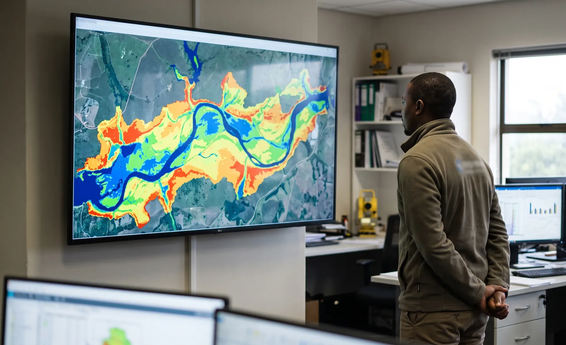
A flood hazard map that covers a whole country or a national property portfolio looks deceptively simple — coloured flood depths draped over the landscape. But the value of such a map lives entirely in the methodology behind it, not the rendering. Two maps of the same area can look almost identical and mean completely different things, because what went into them differs. For anyone using these maps to price risk or plan infrastructure, understanding the ingredients is what separates a defensible layer from a decorative one.
Making decisions on a flood hazard layer? We build locally calibrated models where the decision justifies it — and tell you plainly which method was used where.
Hydraulic modellingTerrain: the foundation everything sits on
Nothing in a flood map is better than the terrain underneath it. Flood extent and depth are computed on a digital elevation model (DEM), and the map inherits every strength and flaw of that surface. National-scale mapping has to make a deliberate trade-off between resolution and coverage: high-resolution LiDAR gives the best results but does not exist everywhere, while coarser global DEMs cover everything but blur exactly the small topographic features that route shallow flooding. And in every case the terrain is blind under the water surface, which is where bathymetry matters for the channels that carry the flow.
Hydrology: how much water, how often
The map needs a flow for each return period at every watercourse — the design floods. At national scale this comes from regional hydrological methods, gauged records where they exist, and rainfall-runoff estimation where they do not. The honest limitation is that hydrological data density varies enormously across a country: some catchments are well gauged, many are not, and the map’s reliability follows that data. A credible national layer is explicit about where its hydrology is well-supported and where it is extrapolated.
Hydraulic method: turning flow into flood
The design floods have to be turned into water levels and extents, and here national-scale mapping makes another trade-off. Full 2D hydraulic modelling of every reach is the gold standard but is computationally enormous at national scale, so large-area mapping often uses simplified or automated hydraulic methods, reserving detailed modelling for high-value or high-consequence areas. The key question to ask of any national map is which method was used where — a simplified approach may be perfectly adequate for screening but wrong for a property-level decision.
Calibration: does it match reality
The step that separates intelligence from guesswork is calibration against observed floods — historical flood outlines, high-water marks, gauge records, satellite imagery of past events. A model that has never been checked against a real flood is a hypothesis; one that reproduces observed events is evidence. At national scale you cannot calibrate everywhere, but you can calibrate at enough well-documented sites to characterise the map’s reliability and correct systematic bias.
Why the methodology matters more than the map
The reason to care about all of this is that the map’s users — insurers pricing exposure, municipalities planning, developers screening sites — are making decisions on the numbers, and the numbers are only as good as the method. A map built on coarse terrain, sparse hydrology, and no calibration can look authoritative and still be wrong by metres in the places that matter. This is exactly why we distinguish coarse global datasets from locally calibrated models where the decision justifies it, and why the flood hazard mapping that underpins risk decisions has to be transparent about its own limits. It is the same logic behind our broader flood risk intelligence work.
See our flood hazard maps offering for how we build and calibrate hazard layers, or get in touch if you need a hazard layer whose methodology you can actually interrogate.
Working on a site where flooding, stormwater, or floodlines are a concern? Send us a message about it and we’ll reply within one business day — no obligation.
Talk to an engineer