

Bathymetric Surveys: Mapping What's Under the Water (and Why Models Depend on It)
· Written by Robert Fortuin · Reviewed by Stephan Dreyer
There is a blind spot in almost every terrain dataset used for flood modelling, and it is in the worst possible place: under the water. LiDAR and photogrammetry — the workhorses of modern topographic survey — capture the ground brilliantly right up to the water’s edge, and then stop dead at the water surface. The channel that actually carries the flow is invisible to them. Bathymetric survey is how you see it.
Modelling a river or dam where the channel matters? We combine bathymetric survey with LiDAR into one seamless surface — so the model is built on a measured bed, not an assumed one.
Hydrological studiesThe model is blind exactly where the flow is
Airborne LiDAR reflects off the water surface, not the bed. So a terrain model built from LiDAR represents the floodplain accurately and the channel as a flat lid at water level — with no depth, no shape, no conveyance. For a hydraulic model, that is a serious problem, because in most rivers the channel does a large share of the work of carrying flow. Model the channel as a flat surface and you understate its capacity, which throws off the levels, the afflux at structures, and the flood extent. The one part of the cross-section the model most needs is the one LiDAR cannot give it.
How a survey boat fills the gap
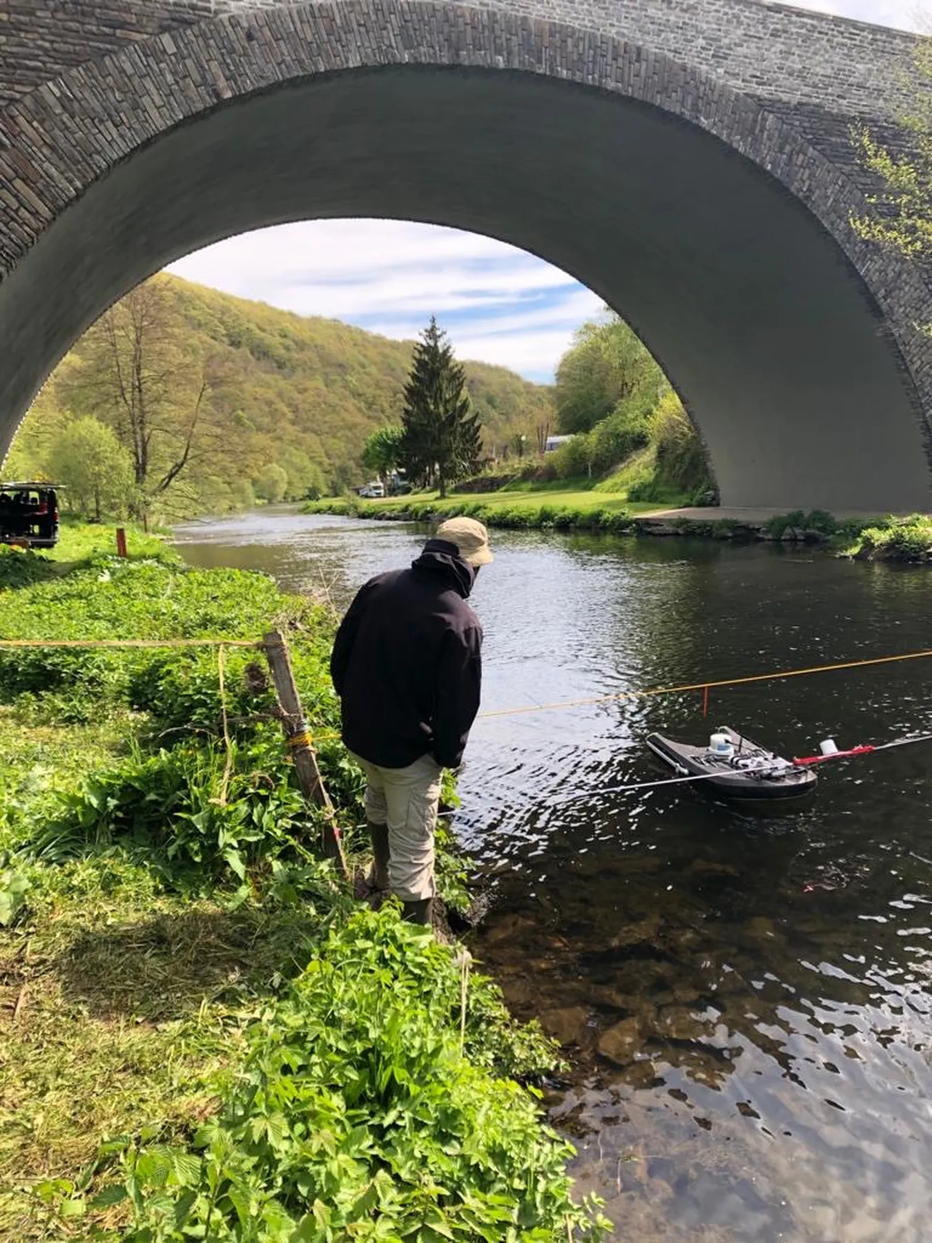
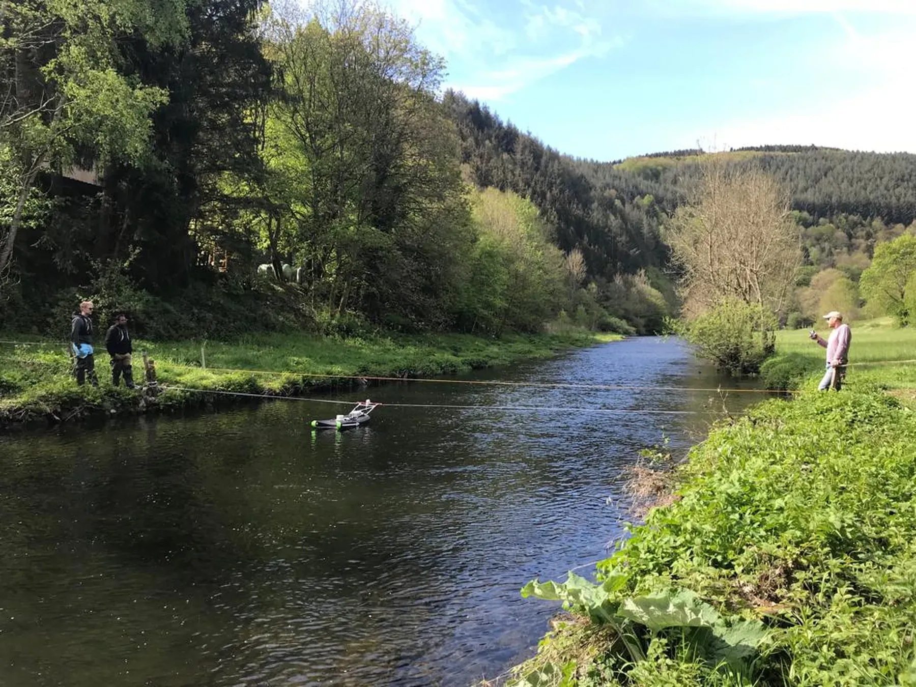
Bathymetric survey measures the bed beneath the water. On the rivers and dams we work, that is often done with a remote-control survey boat carrying an echo sounder, tracking its position while it sounds the depth — so the bed is mapped in detail without putting a person or a manned boat into the flow. Stitched together with the LiDAR of the banks and floodplain above the waterline, it produces a complete, seamless surface: dry ground from LiDAR, wet channel from bathymetry. That combined surface is what a credible model is built on.
When bathymetry changes the answer
It is not needed everywhere, but it is decisive in several common situations:
- Bridge and culvert hydraulics — the opening and the channel through it govern afflux and scour, and both live below the waterline. A bridge waterway assessment without bathymetry is guessing at the most important part.
- Dam capacity — how much a dam actually holds depends on the shape of the basin under the water, which changes as sediment accumulates.
- Sediment volumes — quantifying how much material has deposited in a reservoir or reach needs a measured bed, not an assumed one.
Dam sedimentation and storage-capacity updates
A dam’s storage capacity is not fixed — it shrinks over the years as sediment settles in the basin. A bathymetric sedimentation survey re-measures the underwater basin and updates the storage-capacity relationship, which matters for yield, for flood routing, and for dam safety. A dam operating on its original design capacity curve decades later may be holding — and routing floods on the basis of — storage it no longer has.
Deliverables and how they feed HEC-RAS
The output of a bathymetric survey is a set of measured bed levels — cross-sections or a full point cloud of the wetted area — that merges with the topographic survey into the terrain the model uses. In practice this drops straight into the cross-sections or the mesh of a hydraulic model, giving the channel its real depth and shape. It is one of those inputs that is invisible in the final flood map but quietly determines whether that map is right — the same point our explainer on DEM and LiDAR accuracy makes about terrain data generally.
See our hydrological studies and hydraulic modelling services for survey-backed modelling, or get in touch if your project involves a river reach, bridge, or dam where the bed under the water matters.
Working on a site where flooding, stormwater, or floodlines are a concern? Send us a message about it and we’ll reply within one business day — no obligation.
Talk to an engineer