

Choosing Between 1D and 2D Flood Modelling for Your Project
· Written by Stephan Dreyer · Reviewed by Robert Fortuin
“Do we need a 2D model?” is one of the first questions we get on a new project — and the honest answer is that it depends entirely on how the water actually moves across your site. Choosing between 1D, 2D, and a coupled approach is not about which is more sophisticated. It is about matching the model to the flow behaviour, so you pay for detail where it changes the answer and not where it does not.
Not sure whether your site needs 2D? We scope the modelling approach to how water actually moves across it — and will tell you when 1D is the better answer.
Hydraulic modellingWhat 1D and 2D actually mean
A 1D model represents the river as a series of surveyed cross-sections and computes water levels and velocities along the channel. It assumes flow moves predominantly in one direction — downstream — which is exactly true for a reasonably confined river or a defined channel. It is fast, transparent, and well suited to long reaches.
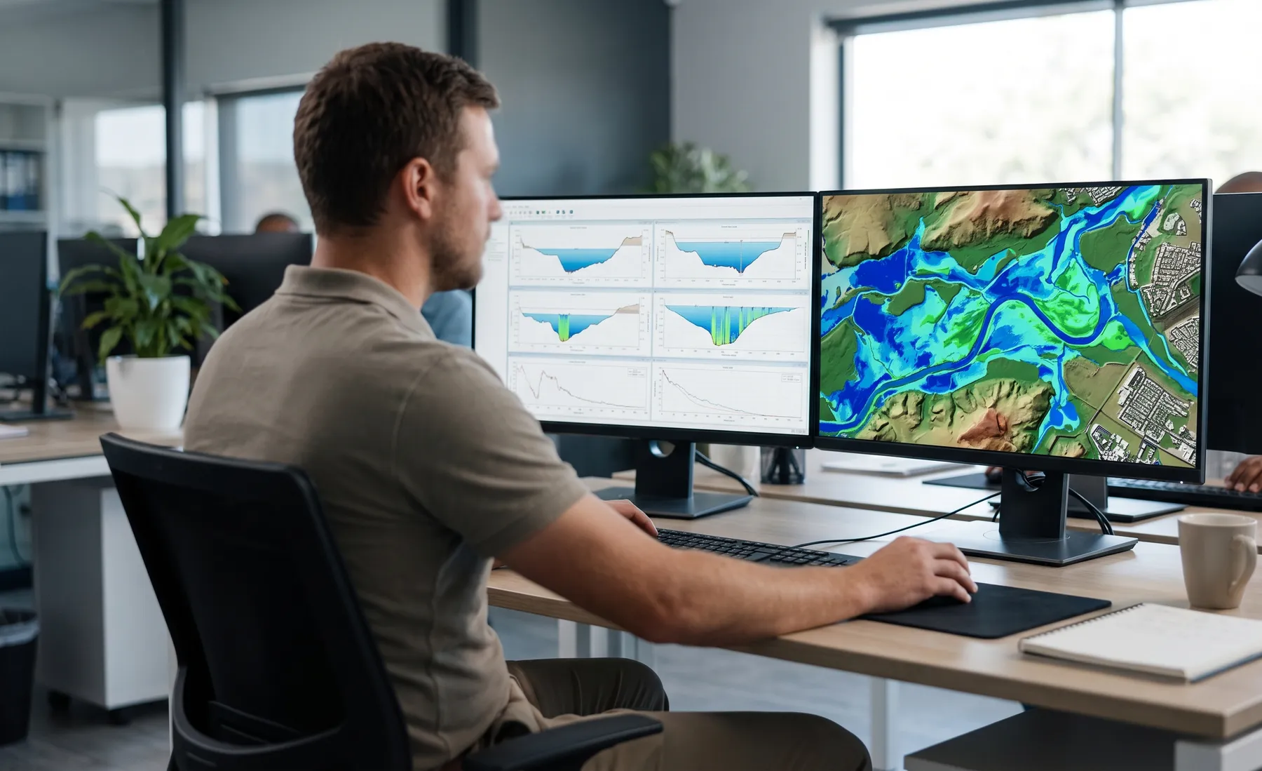
A 2D model divides the floodplain into a mesh of cells and solves the flow in both horizontal directions. It does not assume where the water goes — it computes it. That matters wherever flow spreads out, splits, ponds, or changes direction: broad floodplains, urban areas, alluvial fans, and anywhere the ground surface, not the channel, controls the flood.
When 1D is the right tool
A 1D model is often entirely sufficient — and the more defensible choice — when:
- The watercourse is confined and the floodplain is narrow, so flow genuinely stays in the channel and immediate banks.
- You need a floodline along a defined reach with good cross-section survey and no complex breakout.
- The project is about conveyance and levels — bridge or culvert afflux, freeboard, a floodline for a linear site — rather than the two-dimensional spread of water.
For many floodline determinations on well-defined rivers, a properly built and calibrated 1D model in HEC-RAS answers the question cleanly and is easier for a reviewer to interrogate.
When you need 2D
A 2D model earns its cost when the flood does something a 1D model has to assume rather than compute:
- Wide, flat floodplains where flow spreads laterally and the flow path is not obvious.
- Urban flooding, where roads, buildings, and kerb lines route water in ways no cross-section captures.
- Flow splits and breakouts — where a river overtops and part of the flow leaves the main channel.
- Velocity and hazard mapping for a flood risk assessment, where the direction and speed of water across a site drives the safety and design conclusions.
Forcing a 1D schematisation onto this kind of flow means encoding assumptions about where the water goes — and those assumptions are exactly what a reviewer, or reality, will test.
The coupled 1D–2D middle ground
In practice, a great many South African projects are best served by a coupled 1D–2D model: the channel handled in 1D where flow is well-behaved, dynamically linked to a 2D floodplain where it spreads. You keep the efficiency and clarity of 1D in the channel and get 2D fidelity exactly where the water leaves it. A culvert or bridge modelled in 1D, tied to a 2D urban floodplain downstream, is a common and cost-effective configuration.
How we choose on a real project
The decision comes down to a few questions we answer before building anything: Is the flow confined or does it spread? Does the answer depend on where the water goes, or just how high it gets? What does the deliverable have to prove — a level, a boundary, or a hazard field? And what terrain data do we have, because a 2D model is only as good as the DEM or LiDAR underneath it.
Getting this decision right upfront is the difference between a model that answers the question efficiently and one that is either overbuilt or, worse, structurally unable to represent the flooding that matters.
See our hydraulic modelling service for how we scope 1D, 2D, and coupled models to the problem, or get in touch to talk through which fits your site.
Working on a site where flooding, stormwater, or floodlines are a concern? Send us a message about it and we’ll reply within one business day — no obligation.
Talk to an engineer