

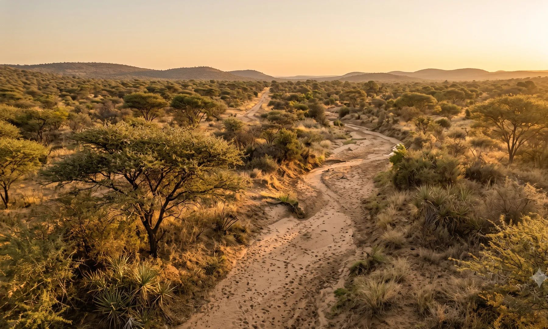
Polokwane sits on the Sand River, which runs along the western edge of the city, with the Blood River and Seshego Dam to the north-west. Floods come from short, intense summer thunderstorms, and recent ones have flooded roads, low bridges and houses in low-lying suburbs. Polokwane’s rules are among the firmer ones we have found. The land use scheme bars building on land likely to flood once in 100 years without approval, and floodlines on township layouts must be certified and not more than three years old.
Rivers that shape flood risk in Polokwane
Loading map…
| River | Where it runs | What matters for flood studies |
|---|---|---|
| Sand River | Along the western edge of the city, flowing north | The city’s main river; Polokwane’s overloaded sewage works discharge into it and the Blood River |
| Blood River | North-west of the city, joining the Sand | Seshego Dam is on it |
| Diep River | A seasonal river rising south-south-east of the city and joining the Sand to the north-east | The Turfloop is a tributary |
Rain falls almost entirely in summer: about 484 mm a year at the Pietersburg weather station, close to 90% of it between October and March (WMO normals, 1991–2020). Tropical cyclones occasionally reach the province: Cyclone Eline led to Limpopo being declared a disaster area in February 2000.
Recent floods
- January 2025. The Municipality warned of flooded roads on the R71 between Paledi and Nobody Circle, the R81 at Kotishing Bridge, the R521 via Witklip to the Seshego turn-off, and Landros Mare Street (Polokwane Municipality).
- February 2023. A thunderstorm flooded more than 20 houses in Nirvana and closed the casualty ward at Pietersburg Hospital (TimesLIVE). Later that month, a national state of disaster was declared for the floods across Limpopo and other provinces.
Sewage is part of the flood risk here. Polokwane’s main treatment works, designed for 36 megalitres a day, receive up to 65, and spill into the Blood and Sand rivers (GroundUp).
Floodline and stormwater rules in Polokwane
- Integrated Land Use Scheme 2022, clause 13. No building on land likely to flood once in 100 years without the Municipality’s approval. Plans must show the floodline with a certificate signed by a registered professional engineer.
- Municipal Planning By-law (amended 2025), form F-10(A1). For township establishment, the 1:50 and 1:100-year floodlines must be certified on the layout plan and be “not more than 3 years old”.
- Schedule 25. Land below the 1:100-year floodline is open space, extended to 32 m from the centre of the watercourse.
- Stormwater between properties (clause 12). The same rule as Tshwane’s scheme: a lower owner must accept natural flow from higher land, and must let concentrated stormwater pass where it cannot reach a street.
- Attenuation. We found no published attenuation criteria; expect them in conditions of approval.
See why floodlines go out of date, whether your development will flood your neighbours and the lines that control building near a river.
Where to find an existing floodline
The Municipality’s GIS has river, dam and contour layers but no floodline layer, and its rivers are unnamed in the data. Any floodline older than three years will not meet the township establishment checklist, so most applications need a new or updated study. Our guide on checking whether a property is in a floodline covers what to look for on record.
Approvals beyond the Municipality
Polokwane falls in the Limpopo-Olifants water management area. The Limpopo-Olifants Catchment Management Agency runs its water use authorisation work from Polokwane, and the Department of Water and Sanitation’s Limpopo office is at 49 Joubert Street. Applications are made online through the e-WULAAS system. The Department notes that local water resources around Polokwane are already in short supply. Our guide to getting permission to build in a floodplain sets out the order of approvals.
What to settle early on a Polokwane site
- The three-year rule. Check the date on any existing floodline before relying on it for a township application.
- Both return periods. Model the 1:50 and the 1:100-year lines, since both are required.
- The 32 m open space. Schedule 25 extends open space to 32 m from the watercourse centre even where the floodline is narrower.
- Road crossings. Many of the flooding reports are of roads and low bridges; access in a storm is part of the risk.
To brief a study, see our floodline determination and flood risk assessment services, or send us the site. You can drop a pin on the map in the contact form.
Local rules, rivers and flood records checked October 2026 by Robert Fortuin . Rules change, so confirm them with the municipality before relying on them.
Documents referenced
Links go to official government copies wherever one is published online. Check for amendments before relying on a specific clause.
- Polokwane Integrated Land Use Scheme 2022By-law · Polokwane Municipality
- Municipal Planning By-law (amended 2025)By-law · Polokwane Municipality
- Public notice: Polokwane roads impacted by flooding (13 January 2025)Guideline · Polokwane Municipality
Services available in Polokwane
Each link opens a brief for that service in Polokwane: regional context, typical drivers, and how we would approach a study in the area.
- Floodline Determination
- Flood Risk Assessment
- Stormwater Management Plans
- Drainage Design
- Hydrological Studies
We take on the rest of our services in Polokwane too.
Beyond consulting in Polokwane
Our work in Polokwane fits into a broader practice: flood risk intelligence for insurers, custom software for water teams, and dedicated sector hubs covering the audiences we serve.
Flood Risk Intelligence
Hazard maps, portfolio exposure, claims-dispute support, and post-event loss modelling.
Explore offerings
Custom Software
QGIS plugins, dashboards, data pipelines, bespoke applications — built around your workflow.
Explore offerings
Sectors we work with
Insurance, mining, municipalities, developers, consulting engineers, and roads & rail.
All sectors
Talk to an engineer about work in Polokwane
Get in touch