

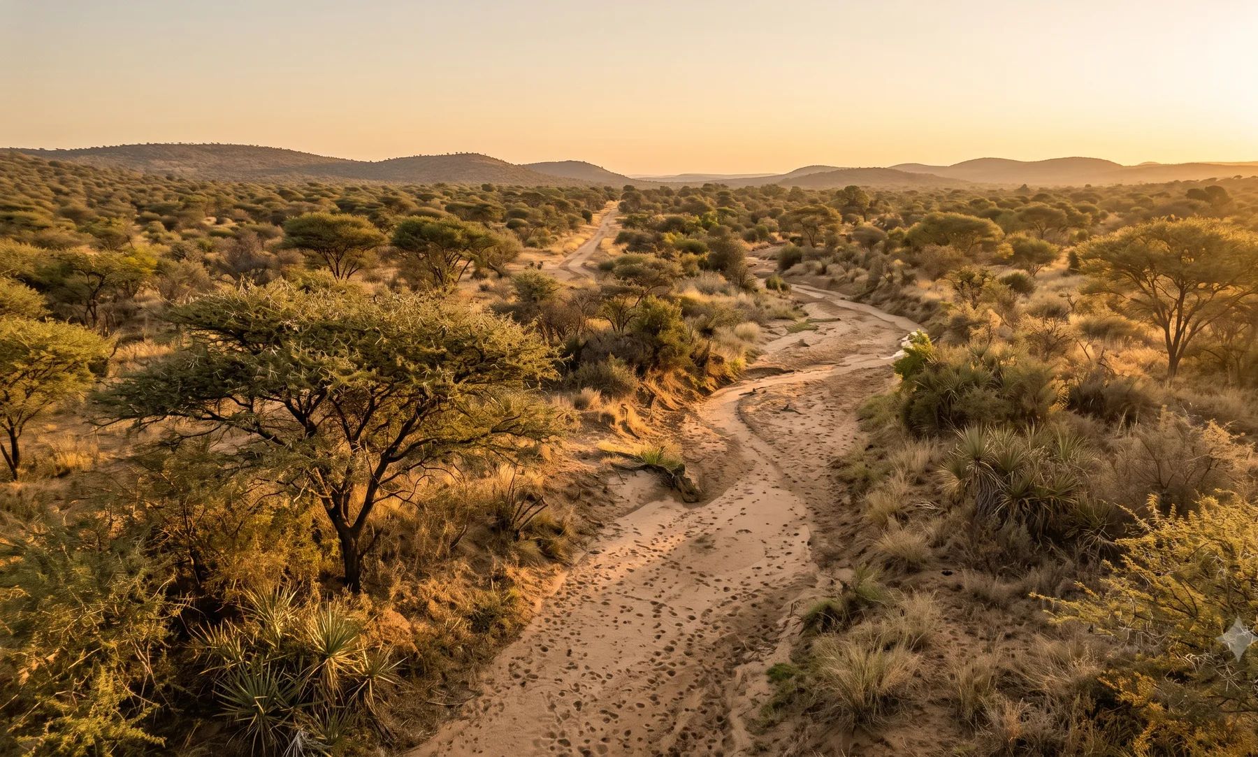
How we help in Polokwane
Urban, highway, and rural contexts each imply different constraints, maintenance regimes, and safety outcomes. The land use scheme makes a lower owner accept natural stormwater from higher land, and let concentrated flow pass where it cannot reach a street.
The Sand River runs along the western edge of the city, with the Blood River and Seshego Dam to the north-west. Our Polokwane guide covers the rivers, recent floods and local rules in more detail.
When do you need this?
- New roads, upgrades, and intersection drainage
- Urban precincts requiring networked stormwater systems
- Rural roads with aggressive runoff and erosion risk
Full service detail
Methodology, deliverables, standards, and FAQs are maintained on the national service page—updated as regulations and municipal guidance evolve.
Read: Drainage Design in South Africa →Related services in Polokwane
Further reading
Ready to brief a study?
Contact Delta Hydro