

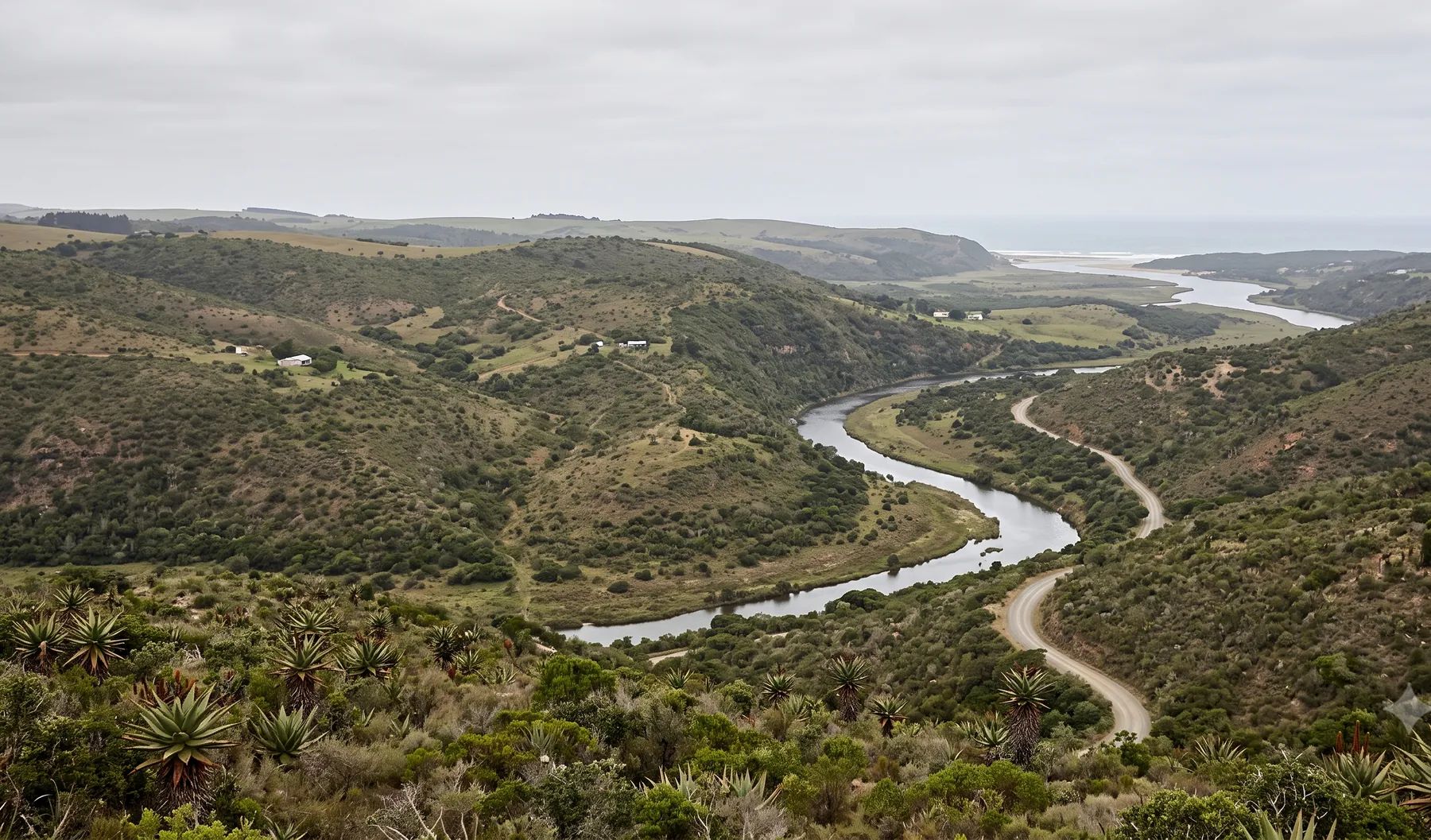
East London is built around the estuary of the Buffalo River, which is also its port. The Nahoon, Gonubie, Quenera and Kwelera reach the sea along Buffalo City’s 82 km of coastline. In June 2024, flash floods overwhelmed the stormwater system in low-lying neighbourhoods; in January 2022, floods killed seven people in Mdantsane and Duncan Village. Buffalo City publishes coastal flood levels, but no river floodlines, and it sets floodline requirements case by case, so most sites near a watercourse need a study.
Rivers that shape flood risk in East London
Loading map…
| River | Where it runs | What matters for flood studies |
|---|---|---|
| Buffalo River | Rises in the Amatola Mountains at about 1 200 m and runs about 126 km past Qonce and Zwelitsha to the estuary harbour at East London | Dams include Maden, Rooikrantz, Laing (on the Yellowwoods tributary) and Bridle Drift, the largest; streams from Mdantsane drain straight into Bridle Drift Dam |
| Nahoon River | Reaches the sea between Nahoon on its west bank and Beacon Bay on its east bank | Nahoon Dam upstream; the estuary holds Africa’s southernmost mangroves |
| Gonubie (Gqunube) River | Reaches the sea at Gonubie | Named in Buffalo City’s river layer |
| Quenera and Kwelera rivers | North-east of the city, reaching the coast | Named in Buffalo City’s river and coastal layers |
Rain falls mainly in spring and summer, peaking in November and March: about 820 mm a year at the East London weather station (WMO normals, 1991–2020).
Recent floods
- June 2024. Flash floods overwhelmed the city’s stormwater drainage and blocked roads including Settlers Way and routes through Duncan Village, CC Loyd Township, Parkridge and Canary Park; the NSRI assisted on the Buffalo River (Daily Maverick). The Eastern Cape floods were declared a national disaster (Notice 4963 of 2024).
- January 2022. Floods killed seven people and left many homeless in Mdantsane and Duncan Village (GroundUp).
The June 2025 Eastern Cape floods were centred on Mthatha; the provincial death count by district did not list Buffalo City (Eastern Cape Government).
Floodline and stormwater rules in Buffalo City
- Zoning scheme regulations (2007). Site development plans must show the 1:100-year floodline “where applicable”, and farm dwellings must be above the 1:100-year flood level.
- Stormwater by-law (2006). Its text is not published online, so ask the Municipality which stormwater conditions apply to your application.
- No published floodline policy. Expect floodline and freeboard requirements to be set in conditions of approval.
See the lines that control building near a river, freeboard and floor levels and stormwater attenuation requirements.
Where to find existing flood information
Buffalo City’s GIS portal has a coastal vulnerability map with wave run-up levels for the 1:10 to 1:100-year events. On exposed beaches, the 1:100-year run-up reaches 6.4 m above mean sea level; on sheltered beaches, 4.9 m. The breakwater at the Port of East London shelters part of the shoreline. There is no public river floodline layer. Our guide on checking whether a property is in a floodline covers what to look for on record.
Approvals beyond the Municipality
The Buffalo and Nahoon fall in the Mzimvubu-Tsitsikamma water management area. Its catchment management agency has its water use authorisation directorate in East London, and applications are made online through the Department of Water and Sanitation’s e-WULAAS system. Our guide to getting permission to build in a floodplain sets out the order of approvals.
What to settle early on an East London site
- River or coast. Near the shore, the coastal run-up levels can govern before the river does.
- Stormwater paths. The June 2024 floods were drainage failures in low-lying areas, so the overland flow route through a site matters as much as the nearest river.
- Dams upstream. Bridle Drift and Nahoon dams affect the design flood below them, and how they spill should be agreed early.
- Estuary mouths. River levels near the coast depend on the state of the estuary and the tide.
To brief a study, see our floodline determination and flood risk assessment services, or send us the site. You can drop a pin on the map in the contact form.
Local rules, rivers and flood records checked October 2026 by Robert Fortuin . Rules change, so confirm them with the municipality before relying on them.
Documents referenced
Links go to official government copies wherever one is published online. Check for amendments before relying on a specific clause.
- Buffalo City GIS portalMap viewer · Buffalo City Metropolitan Municipality
- New water management areas (GN 1056 of 2016)Regulations · GN 1056 of 2016 · Department of Water and Sanitation
Services available in East London
Each link opens a brief for that service in East London: regional context, typical drivers, and how we would approach a study in the area.
- Floodline Determination
- Flood Risk Assessment
- Stormwater Management Plans
- Drainage Design
- Hydrological Studies
We take on the rest of our services in East London too.
Beyond consulting in East London
Our work in East London fits into a broader practice: flood risk intelligence for insurers, custom software for water teams, and dedicated sector hubs covering the audiences we serve.
Flood Risk Intelligence
Hazard maps, portfolio exposure, claims-dispute support, and post-event loss modelling.
Explore offerings
Custom Software
QGIS plugins, dashboards, data pipelines, bespoke applications — built around your workflow.
Explore offerings
Sectors we work with
Insurance, mining, municipalities, developers, consulting engineers, and roads & rail.
All sectors
Talk to an engineer about work in East London
Get in touch