

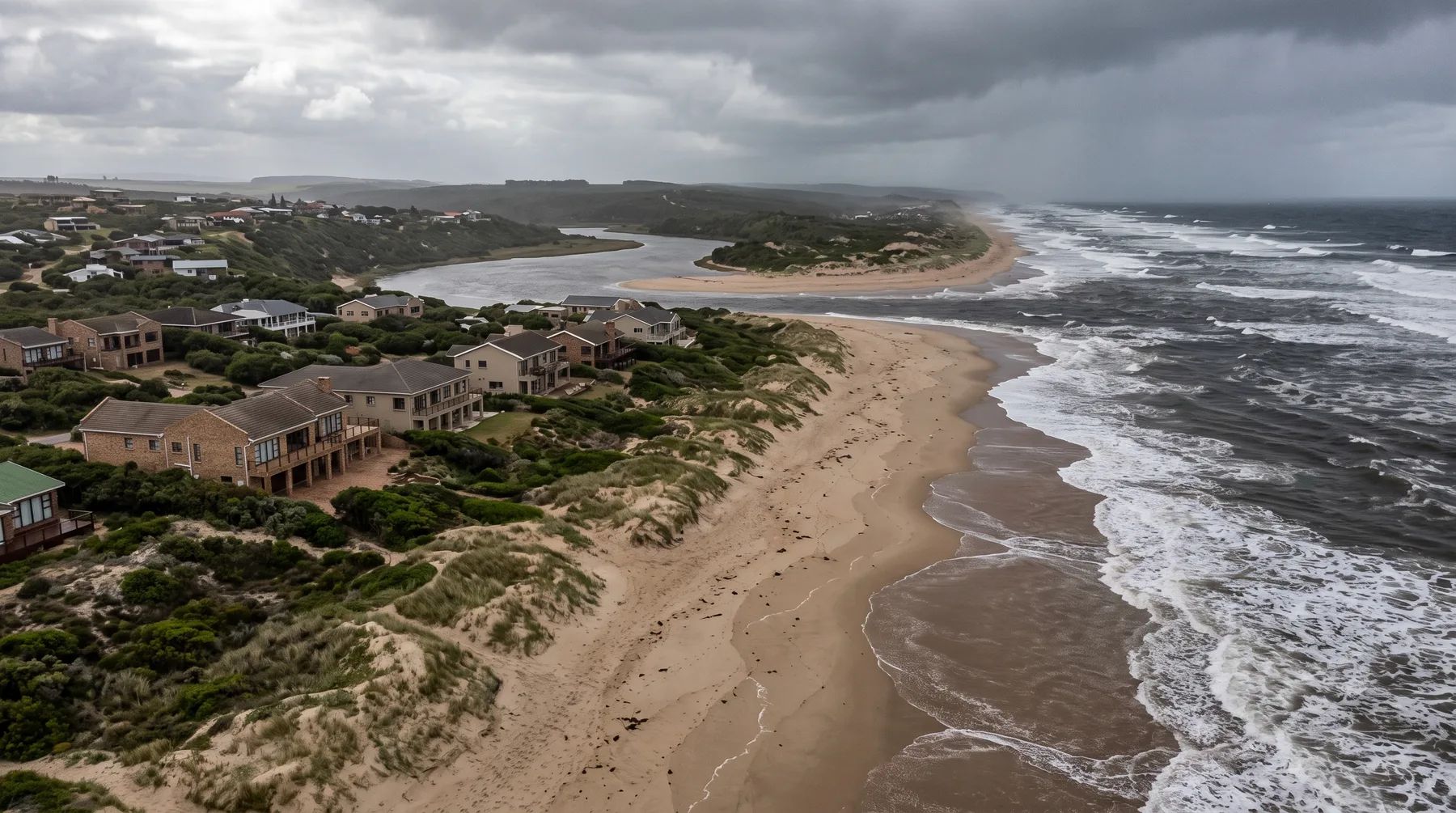
Coastal Management Lines: What the ICMA Means for Building Near the Sea
· Written by Stephan Dreyer · Reviewed by Robert Fortuin
A coastal management line is a line the provincial MEC (or in some cases the national Minister) sets under section 25 of the Integrated Coastal Management Act (ICMA) “to demarcate an area within which development will be prohibited or controlled”. Municipalities must show it in their zoning schemes. Separately, the Act’s coastal protection zone takes in land adjacent to the rest of the zone that a 1:100-year flood or storm would flood. Few lines have been gazetted so far, so on most of the coast the coastal protection zone, the environmental regulations and the municipal scheme still do most of the work.
Developing near the coast or an estuary? We model coastal and estuary flood levels, combined with river floods where both apply, and show what they mean for your layout.
Flood risk assessmentFrom set-back lines to coastal management lines
The ICMA as passed in 2008 required each MEC to make regulations that both established “coastal set-back lines” and prohibited or restricted building seaward of them. The 2014 amendment (Act 36 of 2014) changed this:
- the term “coastal set-back line” was deleted and replaced with “coastal management line”: “a line determined by an MEC in accordance with section 25 in order to demarcate an area within which development will be prohibited or controlled”;
- section 25(1) now says an MEC “must by notice in the Gazette establish or change coastal management lines”;
- the building restriction became a separate power in section 25(1A): the MEC “may, in regulations published in the Gazette, prohibit or restrict the building, erection, alteration or extension of structures” seaward of the line;
- in setting a line, the MEC must now consider “the location of immovable property and the ownership and zonation of vacant land” (section 25(1B)).
So a gazetted line does not, on its own, ban building seaward of it. Check whether regulations under section 25(1A) have also been made for the stretch of coast you are dealing with.
The Minister, not the MEC, sets the line where the area is a national protected area, straddles a provincial boundary or reaches a national border (section 25(5)).
What municipalities must do
Section 25(3) requires the municipality to “delineate the coastal management line on a map or maps that form part of its zoning scheme”, so that the public can find the line in relation to existing cadastral boundaries. Once that is done, anyone can see from the scheme maps whether a site lies seaward of the line.
Where lines have been gazetted
| Coast | Status | Notice |
|---|---|---|
| City of Cape Town | Established by the Western Cape MEC by notice gazetted on 19 March 2021, using the coastal edge in the City’s 2018 Municipal Spatial Development Framework. It excludes Table Mountain National Park. Reported as the first coastal management line in South Africa | P.N. 25/2021, Provincial Gazette Extraordinary 8401 |
| Garden Route National Park | Established by the national Minister in July 2023 | GN R3668, Gazette 48959 |
| West Coast National Park | Draft published for public comment in April 2026 | GN 7393, Gazette 54575 |
| West Coast, Overberg and Garden Route districts | Lines delineated in provincial projects (2014, 2015 and 2018) and available as GIS layers; we found no notice establishing them | Western Cape coastal management programme |
| KwaZulu-Natal, Eastern Cape | Gazetting lines is a target in the provincial coastal management programmes; we found no notices | Provincial coastal management programmes |
We found these through the provincial and national gazettes available online. Check the latest provincial gazette before relying on the status of any stretch of coast.
The coastal protection zone and the 1:100-year flood
Separate from the line, section 16 of the ICMA defines a coastal protection zone. Since the 2014 amendment it includes “any land adjacent to an area referred to in paragraphs (a) to (h) that would be inundated by a 1:100 year flood or storm event”. Before 2014 it covered “any land that would be inundated by a 1:50 year flood or storm event”.
Two things changed in 2014: the event went from 1:50 to 1:100 years, and the land must now be adjacent to the other parts of the zone. For a site near an estuary or a low-lying coast, the extent of the 1:100-year flood or storm can therefore decide whether it falls inside the coastal protection zone. On the coast, that flood is often a combination of river flow, high tide and storm surge rather than a river flood alone.
How this fits with the other rules
- Environmental authorisation. Several EIA listing notice activities apply in front of a coastal development setback or, where no setback exists, within 100 m inland of the high-water mark. See our post on the NEMA 32 m rule for how the listing notices treat setbacks.
- Rivers and estuaries. For a site that is also near a river, see our guide to every law that applies to a site near a river.
- Municipal rules. Our Cape Town and George and Garden Route pages cover the local rules.
See our flood risk assessment and hydraulic modelling services, or send us the site.
This post explains the documents listed below. It is not legal advice; requirements change and are applied case by case, so confirm them with the relevant authority before relying on them.
Documents referenced
Links go to official government copies wherever one is published online. Check for amendments before relying on a specific clause.
- National Environmental Management: Integrated Coastal Management Act (as promulgated)Act · Act 24 of 2008 · Parliament of South Africa
- National Environmental Management: Integrated Coastal Management Amendment ActAct · Act 36 of 2014 · Parliament of South Africa
- Integrated Coastal Management Act, consolidated to 2025Act · Act 24 of 2008, as amended · UNEP LEAP (consolidated text)
- Establishment of the City of Cape Town coastal management lineRegulations · P.N. 25/2021, Provincial Gazette Extraordinary 8401 · Western Cape Government
- Coastal Management Line for the Garden Route National ParkRegulations · GN R3668 of 2023 · Department of Forestry, Fisheries and the Environment (text on Acts Online)
- Coastal management (including coastal management lines projects)Guideline · Western Cape Department of Environmental Affairs and Development Planning
Working on a site where flooding, stormwater, or floodlines are a concern? Send us a message about it and we’ll reply within one business day — no obligation.
Talk to an engineer