

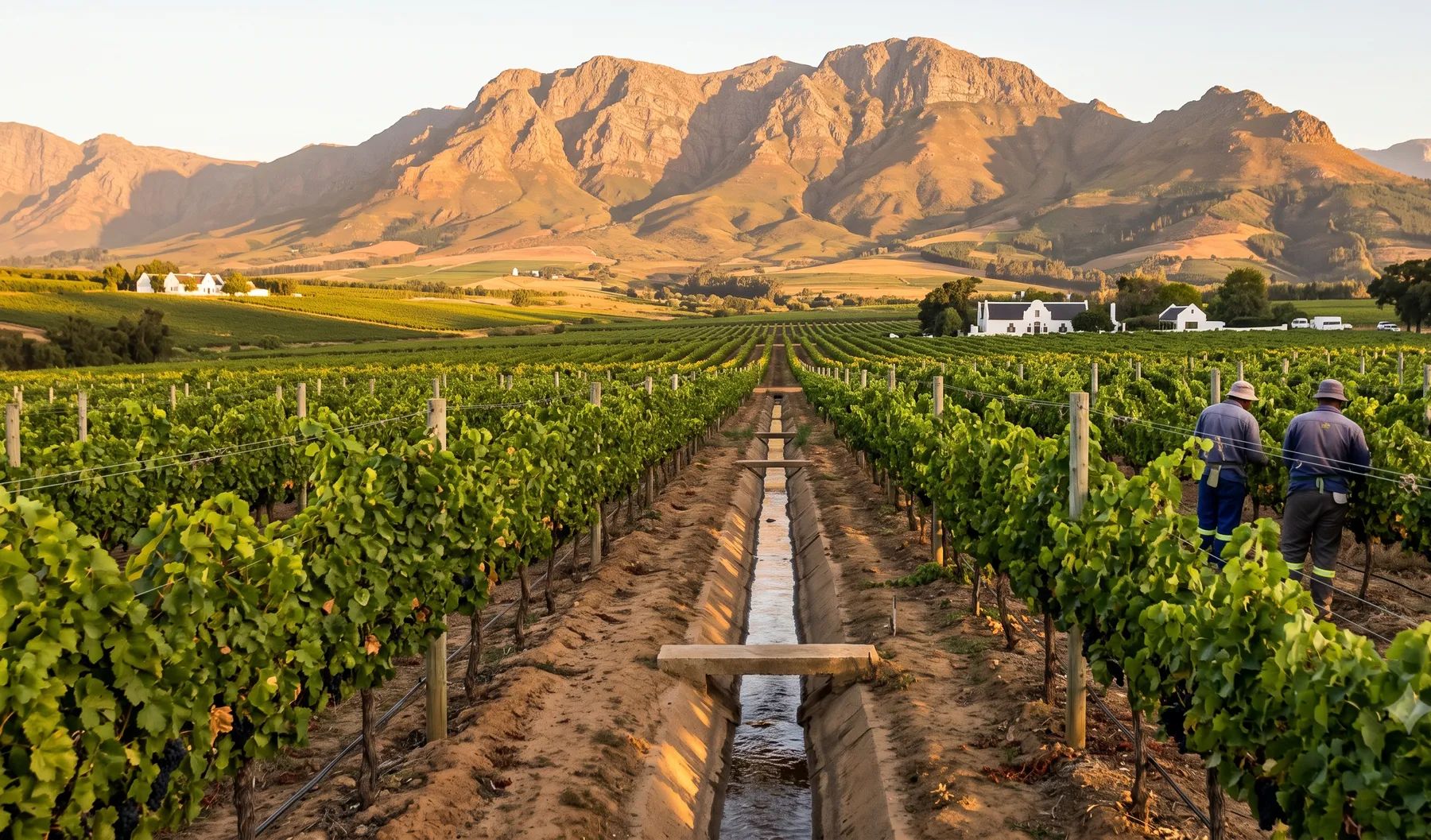
The Winelands sit directly below mountains that receive more than 3 000 mm of rain a year on their highest divides. The Eerste runs through Stellenbosch and the Berg through Paarl and Wellington, and Franschhoek flooded twice in 2023 and again in May 2026. In September 2023, Franschhoek measured 299 mm in a weekend; in May 2026, Paarl had 188 mm and 241 people were evacuated. Stellenbosch’s stormwater by-law requires developers to determine every floodline that may affect a development, and its spatial development framework rules out development below the 1:100-year line on flood-prone banks.
Rivers that shape flood risk in the Winelands
Loading map…
| River | Where it runs | What matters for flood studies |
|---|---|---|
| Eerste River | From the mountains above Jonkershoek through Stellenbosch to False Bay at Macassar | Its banks collapsed near Paul Roos Gymnasium in June 2023; flows are altered by water transferred into the catchment |
| Jonkershoek and Plankenbrug | Eerste tributaries; the Jonkershoek drains the valley above the town | Jonkershoek measured 200 mm over two days in September 2023 |
| Berg River | Rises at about 1 500 m in the Franschhoek and Drakenstein mountains and flows north past Paarl and Wellington | Drains 8 980 km² over about 285 km; the upper catchment produces nearly a third of its runoff |
| Franschhoek, Lacotte and Stiebeuel | Streams through Franschhoek; the Franschhoek River is a Berg tributary | The Lacotte flooded the town centre and the Stiebeuel washed away parks, walkways and footbridges; key bridges had to be rebuilt |
| Dwars River | A Berg tributary in the section of the catchment that includes Pniel and Kylemore | Alien trees have narrowed and destabilised its channel |
Rain falls in winter and increases from west to east, from the valleys to more than 3 000 mm a year on the highest mountain divides. The upper Berg catchment averages about 1 410 mm a year (DWAF State of Rivers report, 2004).
Recent floods
- May 2026. Paarl recorded 188 mm and Wellington 159 mm between 10 and 12 May; 241 residents were evacuated and there were 164 flooding incidents in Paarl, Wellington, Newton and Simondium (Bolander). Rivers in Franschhoek burst their banks, and the Franschhoek Pass was closed after the road was scoured out beneath it (Paarl Post).
- September 2023. Franschhoek measured 299 mm over the Heritage Day weekend, and Jonkershoek 200 mm over two days (News24). The Lacotte flooded Franschhoek’s centre (Stellenbosch Municipality), and agricultural losses were put at R1.4 billion. It was declared a national disaster (GN 4035 of 2023).
- June 2023. 60.8 mm fell overnight on 13 and 14 June, the heaviest rain in Stellenbosch in about 45 years; the Eerste River’s banks collapsed and people were evacuated from Die Boord (SMF News).
- August 2013. The Berg River flooded at Paarl and residents near the river were evacuated (News24).
Floodline and stormwater rules in the Winelands
- Stellenbosch Stormwater By-law (2021). It defines the “flood line” by the 1:50-year storm and the floodplain by the 100-year storm. Developers must “determine all floodlines which may impact on the development”, layout plans may have to show the 50- and 100-year lines, floors must be above the floodlines, and a stormwater management plan must be approved before work starts.
- Stellenbosch Spatial Development Framework (2019). No development below the 1:100-year floodline on river banks susceptible to flooding, a stricter line than the by-law’s definition.
- Drakenstein (Paarl and Wellington). No stormwater by-law. Its draft environmental management framework (2022) defines river corridors as the 1:100-year floodline or 50 m from the water’s edge, whichever is greater (115 m from the Berg River’s centre), with no settlement below the 1:50-year line. Its spatial development framework lists floodline studies for the Berg and Van Wyks rivers as work still to be done.
See 1:50 vs 1:100-year floodlines, the lines that control building near a river and farming next to a river.
Where to find an existing floodline
The Western Cape’s provincial floodline maps have no lines for Stellenbosch, Paarl or Franschhoek; the only Berg River study on them is for the estuary at Velddrif. The province’s flood hazard index is a screening layer only. Most sites near a river need a study. Our guide on checking whether a property is in a floodline covers what to look for on record.
Approvals beyond the municipality
Stellenbosch and Drakenstein fall in the Berg area of the Breede-Olifants Catchment Management Agency, whose public contact points include Bellville and Worcester. Applications are made online through the Department of Water and Sanitation’s e-WULAAS system. On farms, ploughing near a river also needs permission under the Conservation of Agricultural Resources Act: see farming next to a river. Our guide to getting permission to build in a floodplain sets out the order of approvals.
What to settle early on a Winelands site
- Which line. Stellenbosch’s by-law calls the 1:50-year line the “flood line”, but its spatial framework draws the development line at the 1:100-year; Drakenstein’s draft framework uses the 1:100-year line or 50 m.
- Mountain rainfall. Rain gauges in town understate what falls on the catchment above it.
- Bridges. In Franschhoek, bridges were the weak point in 2023; check the crossings between the site and the river.
- Debris and alien trees. Steep, invaded catchments send timber and sediment downstream in a flood.
To brief a study, see our floodline determination and flood risk assessment services, or send us the site. You can drop a pin on the map in the contact form.
Local rules, rivers and flood records checked October 2026 by Robert Fortuin . Rules change, so confirm them with the municipality before relying on them.
Documents referenced
Links go to official government copies wherever one is published online. Check for amendments before relying on a specific clause.
- Stormwater By-law, 2021By-law · Stellenbosch Municipality
- Stellenbosch Spatial Development Framework (2019)Policy · Stellenbosch Municipality
- Drakenstein Environmental Management Framework (draft, 2022)Policy · Western Cape Government and Drakenstein Municipality
- Drakenstein Spatial Development Framework 2026–27Policy · Drakenstein Municipality
- State of Rivers Report: Berg River System (2004)Guideline · Department of Water Affairs and Forestry, River Health Programme
Services available in Stellenbosch
Each link opens a brief for that service in Stellenbosch: regional context, typical drivers, and how we would approach a study in the area.
- Floodline Determination
- Flood Risk Assessment
- Stormwater Management Plans
- Drainage Design
- Hydrological Studies
We take on the rest of our services in Stellenbosch too.
Beyond consulting in Stellenbosch
Our work in Stellenbosch fits into a broader practice: flood risk intelligence for insurers, custom software for water teams, and dedicated sector hubs covering the audiences we serve.
Flood Risk Intelligence
Hazard maps, portfolio exposure, claims-dispute support, and post-event loss modelling.
Explore offerings
Custom Software
QGIS plugins, dashboards, data pipelines, bespoke applications — built around your workflow.
Explore offerings
Sectors we work with
Insurance, mining, municipalities, developers, consulting engineers, and roads & rail.
All sectors
Talk to an engineer about work in Stellenbosch
Get in touch