

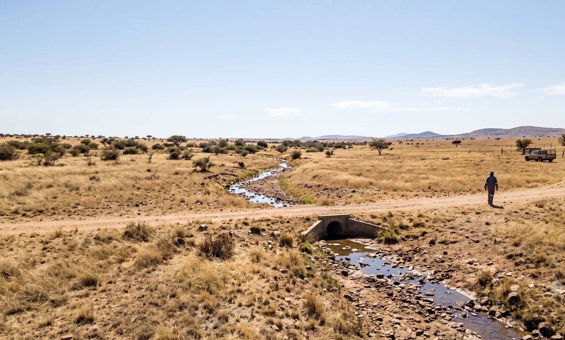
Bloemfontein grew around the Bloemspruit, a small stream that flows east through the city centre, and Mangaung as a whole is spread along the upper and middle reaches of the Modder River. The ground is flat, with koppies and pans, and floods come from summer thunderstorms. In 1904, the Bloemspruit flooded through the town centre. Today Mangaung’s floodline rules are mostly in draft, but its building regulations already bar building within the 1:50-year floodline without the Municipality’s consent.
Rivers that shape flood risk in Bloemfontein
Loading map…
| River | Where it runs | What matters for flood studies |
|---|---|---|
| Bloemspruit | Rises between Brandwag and Westdene and flows east through the city centre to the Renosterspruit | Flooded in 1904; a DWAF report shows the Church Street bridge during the flood |
| Renosterspruit | East of the city, joining the Modder | Recorded its highest level since 2008 in June 2011 at the DWS gauge at Bishop’s Glen |
| Modder River | The main river of the metro; Mangaung lies along its upper and middle reaches | Rustfontein, Mockes, Mazelspoort and Krugersdrift dams; the largest peak in the DWS record at Glen was in February 2006 |
| Klein-Modder | Through Botshabelo | Part of a northbound drainage system |
Rain falls mostly in summer thunderstorms, in a semi-arid climate. The many pans on the plains fill in summer but hardly ever overflow (DWAF State of Rivers report).
Recent floods
The Department of Water and Sanitation’s flood-peak records for the Modder River at Glen show the largest peaks in February 2006 and June 2011, with further high flows in February 2021 and April 2022 (DWS flood peaks). The DWAF report on the Free State’s rivers carries a photograph of the Church Street bridge across the Bloemspruit during the 1904 flood.
Mangaung’s 2026/27 integrated development plan lists areas to be relocated because they lie within floodlines, among them Section F Extension 3 (N8 Park).
Floodline and stormwater rules in Mangaung
Most of Mangaung’s floodline rules are in drafts. Check which version applies to your application:
- Building Regulations By-law (2019), section 9. No building within the 1:50-year floodline without the Municipality’s consent. This one is in force.
- Draft land use scheme amendment (2025). The 1:50 and 1:100-year floodlines, certified by a registered professional engineer, on township layouts; no development below the 1:50-year line; possible restrictions between the 1:50 and 1:100-year lines; and, on open space and conservation land, no development within the 1:100-year flood area or the riparian zone plus 30 m. Post-development flows should preferably not exceed pre-development flows for the 1:5 and 1:25-year events.
- Stormwater design standards (2026/27 IDP). The major system is designed for the 50-year storm (50 to 100 years in the CBD) and the minor system for the 5-year storm (5 to 10 years in the CBD); peak runoff must be reduced to pre-development levels before it is released.
- Draft stormwater by-law. The 2018 draft was re-advertised in November 2025.
See attenuation requirements by metro, the lines that control building near a river and 1:50 vs 1:100-year floodlines.
Where to find an existing floodline
Mangaung publishes no floodline map that we could find. The Department of Water and Sanitation’s gauges on the Modder (Glen) and Renosterspruit (Bishop’s Glen, Shannon Valley) give recorded flood peaks to calibrate a study against. Our guide on checking whether a property is in a floodline covers what to look for on record.
Approvals beyond the Municipality
The Modder falls in the Orange water management area, which since 2022 has been under the Vaal-Orange Catchment Management Agency. Water use authorisations have been processed from the Department of Water and Sanitation’s Free State office in Bloemfontein, and the agency is building up its own staff there. Applications are made online through the e-WULAAS system. Our guide to getting permission to build in a floodplain sets out the order of approvals.
What to settle early on a Bloemfontein site
- The 1:50-year line. Building inside it already needs the Municipality’s consent, so find out early whether it touches the site.
- Which draft applies. The land use scheme amendment and the stormwater by-law are drafts; ask the Municipality which version it is applying.
- Flat ground and pans. Water spreads slowly and ponds; overland flow paths matter as much as the nearest spruit.
- Attenuation. Expect to bring peak runoff back to pre-development levels before it leaves the site.
To brief a study, see our floodline determination and stormwater management plan services, or send us the site. You can drop a pin on the map in the contact form.
Local rules, rivers and flood records checked October 2026 by Robert Fortuin . Rules change, so confirm them with the municipality before relying on them.
Documents referenced
Links go to official government copies wherever one is published online. Check for amendments before relying on a specific clause.
- Land Use Scheme as amended, February 2025 (draft)By-law · Mangaung Metropolitan Municipality
- Draft Stormwater Management By-lawBy-law · Mangaung Metropolitan Municipality
- Integrated Development Plan 2026/27Policy · Mangaung Metropolitan Municipality
- State of Rivers Report: Free State Region River SystemsGuideline · Department of Water Affairs and Forestry, River Health Programme
- Building Regulations By-law (Verordening op die bouregulasies)By-law · Provincial Notice 54 of 2019 · Mangaung Metropolitan Municipality
Services available in Bloemfontein
Each link opens a brief for that service in Bloemfontein: regional context, typical drivers, and how we would approach a study in the area.
- Floodline Determination
- Flood Risk Assessment
- Stormwater Management Plans
- Drainage Design
- Hydrological Studies
We take on the rest of our services in Bloemfontein too.
Beyond consulting in Bloemfontein
Our work in Bloemfontein fits into a broader practice: flood risk intelligence for insurers, custom software for water teams, and dedicated sector hubs covering the audiences we serve.
Flood Risk Intelligence
Hazard maps, portfolio exposure, claims-dispute support, and post-event loss modelling.
Explore offerings
Custom Software
QGIS plugins, dashboards, data pipelines, bespoke applications — built around your workflow.
Explore offerings
Sectors we work with
Insurance, mining, municipalities, developers, consulting engineers, and roads & rail.
All sectors
Talk to an engineer about work in Bloemfontein
Get in touch