

How we help in East London
Urban, highway, and rural contexts each imply different constraints, maintenance regimes, and safety outcomes. Near the coast, Buffalo City's coastal vulnerability map puts 1:100-year wave run-up at up to 6.4 m above mean sea level on exposed beaches, which can govern before the river does.
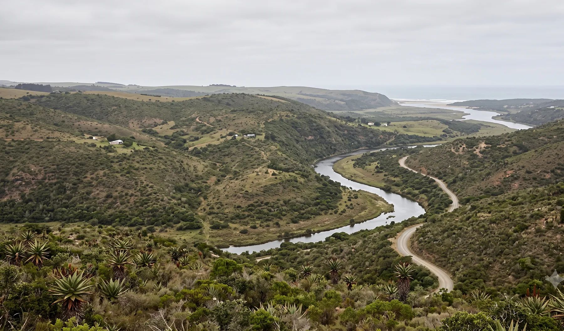
The Buffalo River runs to the city's estuary port, with the Nahoon, Gonubie, Quenera and Kwelera reaching the sea along the coast to the north-east. Our East London guide covers the rivers, recent floods and local rules in more detail.
When do you need this?
- New roads, upgrades, and intersection drainage
- Urban precincts requiring networked stormwater systems
- Rural roads with aggressive runoff and erosion risk
Full service detail
Methodology, deliverables, standards, and FAQs are maintained on the national service page—updated as regulations and municipal guidance evolve.
Read: Drainage Design in South Africa →Related services in East London
Further reading
Ready to brief a study?
Contact Delta Hydro