

Climate Change and Floodlines: Should Your Floodline Allow for Heavier Rain?
· Written by Stephan Dreyer · Reviewed by Robert Fortuin
A floodline is drawn from rainfall and river-flow records of the past. If storms are getting heavier, a floodline based only on those records will sit too low, and the land behind it will flood more often than the line suggests. Some South African municipalities now build an allowance into their design rainfall or floodlines. We found few that do, and no national rule that sets one.
Want to know how far your floodline could move with heavier rain? We run a climate scenario alongside the standard floodline and show the difference on the plan.
Floodline determinationWhy historical floodlines can be too low
A 1:100-year floodline starts with a design flood: the flow with a 1% chance of being equalled or exceeded in any year. That flow is estimated from records of rainfall and river flow, analysed on the assumption that the climate behind them stays the same. If short, intense storms are becoming more frequent, the flow that used to have a 1% annual chance now has a higher one, and the true 1:100-year flood is bigger than the one the records give.
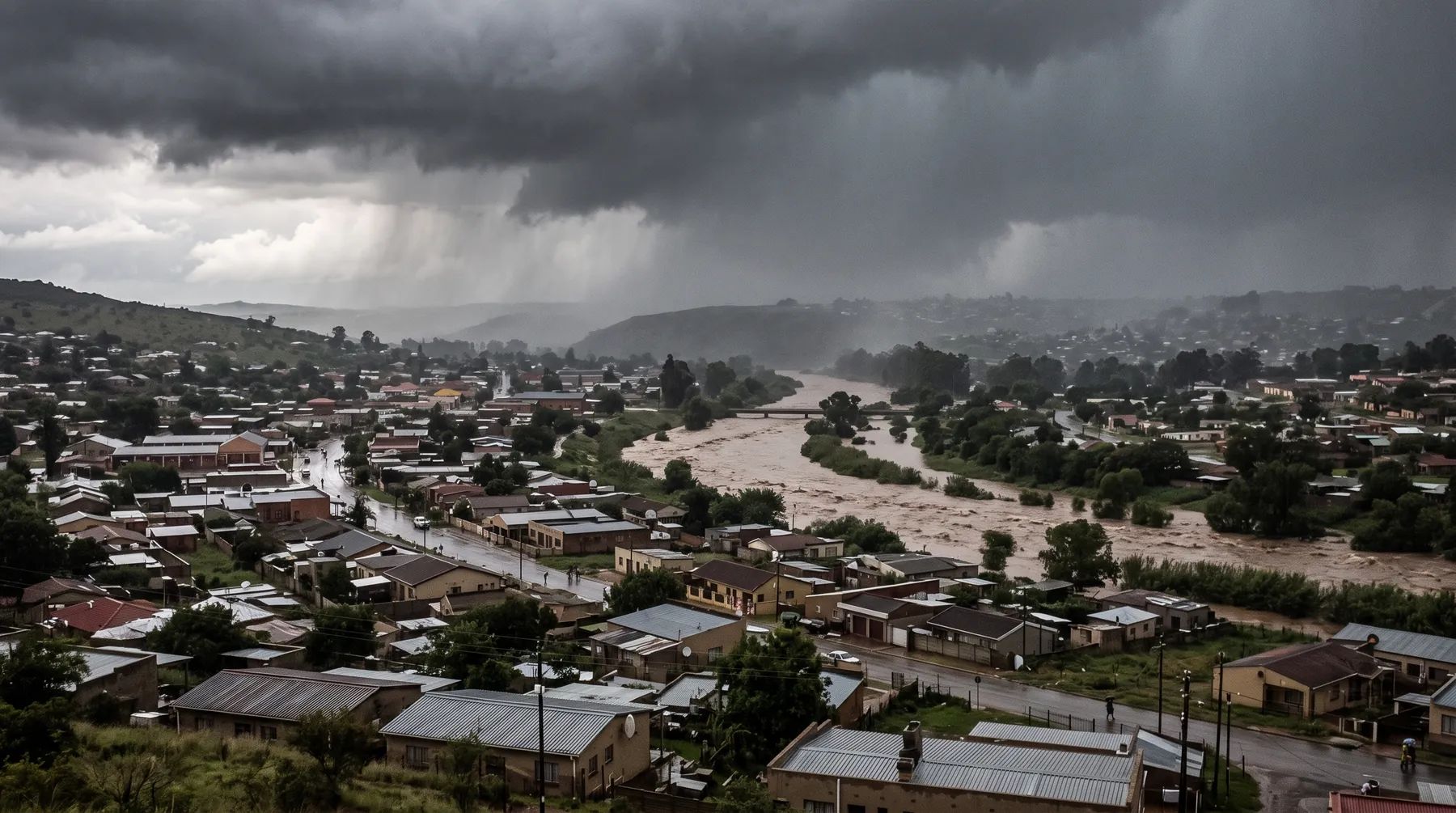
eThekwini has seen this directly. In March 2025 the Mayor said that “the 2017, 2019, 2022, and 2023 floods were greater than the 1:100-year flood in certain parts of the city”. Floods above the 1:100-year level in four years between 2017 and 2023, even in different parts of the city, are a reason to re-test the design floods behind its floodlines.
What municipalities already do
| Municipality | Allowance | Document |
|---|---|---|
| Cape Town | The City’s “Design Rainfall Depth Grid” data, “which includes 15% for Climate Change”, is used for all stormwater attenuation and treatment calculations | Standards and Guidelines for Roads and Stormwater v3.0 (2022), s10.3.4 |
| eThekwini (Durban) | Revising its floodlines “to incorporate the projected climate impact of a 15% increase in rainfall intensity” | Mayor’s statement, 3 March 2025 |
| Nelson Mandela Bay | Floodlines to be plotted using projected, rather than historical, data | Metropolitan Spatial Development Framework 2026 |
Two of these are policy direction rather than published standards, so check what the municipality applies to applications today. The Nelson Mandela Bay framework is filed as approved on the City’s website, but its cover still reads “Final Draft”.
What national law says
Section 144 of the National Water Act asks for the level “likely to be reached by floodwaters on average once in every 100 years” and says nothing about climate. We found no national regulation or guideline that sets a climate allowance for floodlines.
At municipal level, section 53 of the Disaster Management Act, as amended in 2015, requires each municipality to assess its disaster risks and plan for “expected climate change impacts and risks”. The Climate Change Act of 2024 adds a climate change needs and response assessment for metros and districts in section 17, but Proclamation 251 of 2025 deferred that section, and we found no later proclamation bringing it into force. Our guide to every law that applies to a site near a river covers both Acts.
How a climate allowance is applied
The usual approach is to increase the design rainfall, rerun the hydrology and the hydraulic model, and compare:
- Standard floodline: the design storm from current rainfall analysis.
- Climate scenario: the same storm with an agreed uplift, for example 15%, the figure eThekwini is applying to its floodlines and Cape Town builds into its design rainfall for stormwater attenuation.
- The difference: how far the line moves, mapped, and how much higher the flood level is at the buildings that matter.
A 15% increase in rainfall does not move every floodline by the same amount. On a confined river the line may barely move; on a flat floodplain, or where a culvert is close to capacity, it can move a long way. That is why the scenario has to be modelled rather than estimated.
When to include one
- Your municipality requires it. Use the municipality’s allowance and say so in the report.
- The development is long-lived or hard to move. Housing, schools, clinics and bulk infrastructure will see the climate of the next 50 years, not the last 50.
- The site is close to the line. If a 15% scenario moves the floodline across your platform, that is worth knowing before the layout is fixed.
- A lender is relying on it. The Prudential Authority’s guidance note G3/2025 (October 2025) asks banks to disclose how they assess physical climate risks such as flooding. A floodline with a climate scenario is site-level input to that assessment.
The scenario does not replace the standard floodline the authority asked for. It sits beside it, so the decision on how much margin to build in is made knowingly. Our post on pre- vs post-development floodlines covers the other way floodlines change over time: development upstream.
See our floodline determination and hydrological studies services, or send us the site details.
This post explains the documents listed below. Requirements change and are applied case by case, so confirm them with the relevant authority before relying on them.
Documents referenced
Links go to official government copies wherever one is published online. Check for amendments before relying on a specific clause.
- Standards and Guidelines for Roads and Stormwater, Version 3.0 (February 2022)Standard · City of Cape Town
- Statement by eThekwini Mayor on the recent storm disaster (3 March 2025)Policy · eThekwini Municipality
- Metropolitan Spatial Development Framework 2026Policy · Nelson Mandela Bay Metropolitan Municipality
- Disaster Management ActAct · Act 57 of 2002 · Parliament of South Africa
- Disaster Management Amendment ActAct · Act 16 of 2015 · Parliament of South Africa
- Climate Change ActAct · Act 22 of 2024 · Parliament of South Africa
- Commencement of the Climate Change Act (text on Acts Online)Regulations · Proclamation 251 of 2025 · The Presidency
- G3/2025 Guidance Note: Climate Disclosures for banksGuideline · Prudential Authority (South African Reserve Bank)
- National Water ActAct · Act 36 of 1998 · Parliament of South Africa
Working on a site where flooding, stormwater, or floodlines are a concern? Send us a message about it and we’ll reply within one business day — no obligation.
Talk to an engineer