

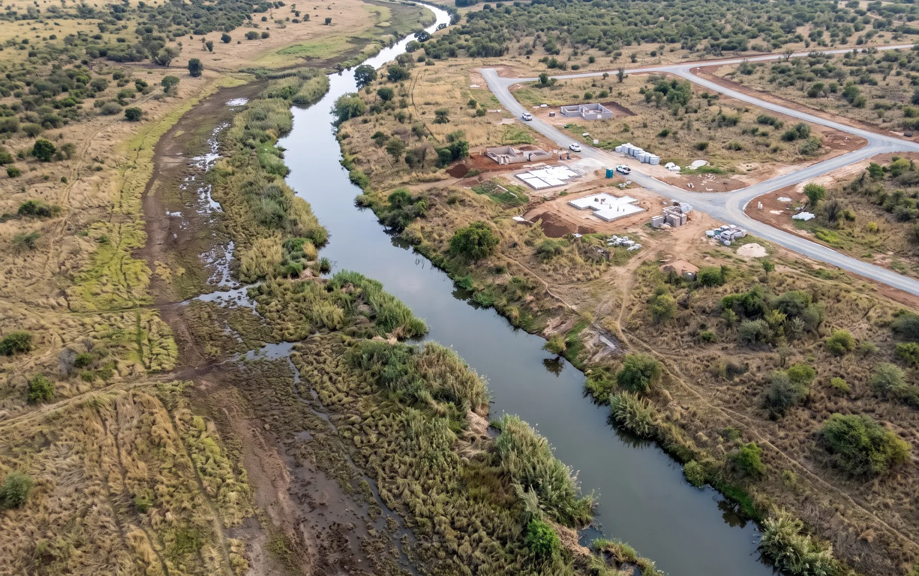
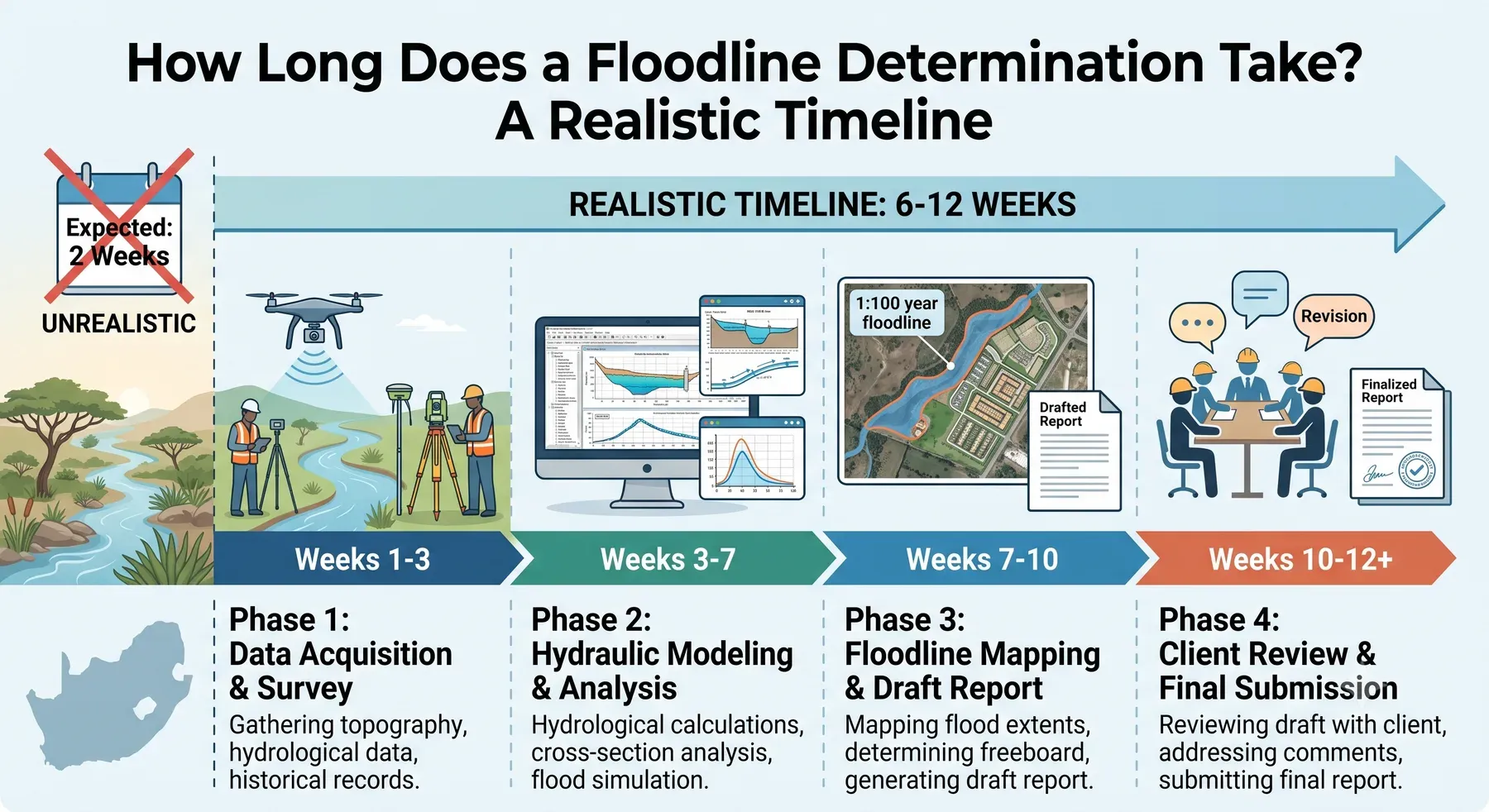
How Long Does a Floodline Determination Take? A Realistic Timeline
· Written by Robert Fortuin · Reviewed by Stephan Dreyer
Floodline determinations have a habit of appearing on project programmes as a single line item — “floodline study, 2 weeks” — usually written by whoever needs it finished quickest. The realistic answer for most sites is six to twelve weeks from appointment to final report, and understanding where that time goes is the best way to compress it.
Working to a fixed submission date? Tell us the site and the deadline and we will tell you honestly whether the programme is achievable before you commit.
Floodline determinationThe phases, and where the time goes
Phase 1 — Scoping and data assembly (week 1–2). Confirming the watercourses and study reach, the design events the authority expects (see our post on 1:50 vs 1:100 year floodlines), and gathering what already exists: terrain coverage, rainfall data, previous studies, as-built information on structures. Decisions made here set the whole programme.
Phase 2 — Survey (week 2–4). If suitable LiDAR or drone data exists, this phase shrinks dramatically. If not: drone or ground survey of the site and floodplain, plus field-surveyed river cross-sections and every bridge and culvert in the reach. Survey is weather-dependent and access-dependent — the phase most likely to move.
Phase 3 — Hydrology (week 3–5). Catchment analysis and design flood estimation, typically by several independent methods (Rational, SCS-SA, empirical, and statistical where records allow), reconciled into adopted design flows. Runs partly in parallel with survey.
Phase 4 — Hydraulic modelling (week 5–8). Building the 1D or 2D model on the surveyed terrain, incorporating structures, running the design events, and — importantly — sensitivity checks and internal review. Complex 2D models with long run times stretch this phase.
Phase 5 — Reporting and drawings (week 7–10). The floodline plan in CAD/GIS deliverable formats, and a report that documents methods, data, and assumptions well enough for an independent reviewer to follow — which is what makes the result defensible rather than merely plausible.
Municipal or DWS review then follows its own clock — typically weeks to a few months depending on the authority — and is outside the consultant’s control, though a review-ready report shortens it markedly.
What genuinely accelerates a study
- Existing terrain data. Municipal LiDAR coverage or a recent site survey can cut two to three weeks.
- A clear brief. Knowing the approval audience and required design events on day one avoids mid-study rescoping.
- Access arranged early. Survey teams that can reach the river — through your land and, often, neighbours’ — on the first mobilisation.
- Existing studies. Even an outdated floodline or an adjacent site’s study provides flows and calibration context worth real programme time.
What typically causes delays
- Weather and access during the survey window;
- Data gaps — missing as-builts for structures, or terrain data that turns out unusable on inspection;
- Scope growth — a second watercourse discovered to affect the site, or an authority requesting additional events mid-study;
- Late appointment — the study commissioned after the layout is fixed, so every finding becomes a redesign negotiation rather than a design input.
The planning takeaway
Commission the floodline study before the layout is finalised, not as a submission formality at the end. As a design input, a floodline costs its fee; discovered late, it costs redesign. If you tell us the site and the deadline, we will tell you honestly whether the programme is achievable — see our floodline determination service or talk to an engineer about your dates.
Working on a site where flooding, stormwater, or floodlines are a concern? Send us a message about it and we’ll reply within one business day — no obligation.
Talk to an engineer