

How we help in Durban
We document methods, regional inputs, and climate-station context appropriate to the site and design standard. About 1 000 mm of rain falls a year, mainly in summer, and the major floods come from cut-off lows, often on soils that are already saturated.
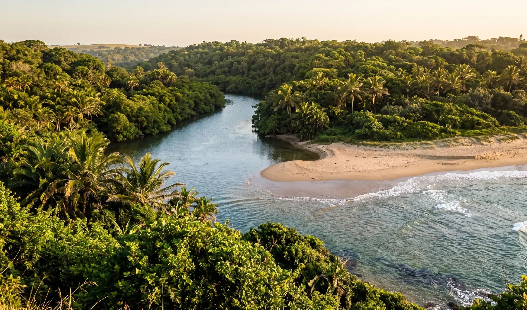
Durban has 18 major river systems, from the uMngeni in the north through the Umbilo and Umhlatuzana into Durban Bay to the uMlazi canal in the South Durban Basin. Our Durban guide covers the rivers, recent floods and local rules in more detail.
When do you need this?
- Sizing bridges, culverts, dams, and flood mitigation works
- Water-use and licensing studies requiring documented design flows
- Master planning where land-use change alters catchment response
Full service detail
Methodology, deliverables, standards, and FAQs are maintained on the national service page—updated as regulations and municipal guidance evolve.
Read: Hydrological Studies in South Africa →Related services in Durban
Further reading
Ready to brief a study?
Contact Delta HydroExploring in-house analysis? See deltahydro.tech .