

SANS 10400-H and Flood Risk: What It Means for Your Building Plan
· Written by Stephan Dreyer · Reviewed by Robert Fortuin
Search for “SANS 10400 flood” and you will find plenty of confident, contradictory claims about what the building regulations require near a watercourse. Much of the confusion comes from expecting one clause to do the work of several laws. Flood risk enters South African building approval through three separate doors — and if your site is anywhere near a watercourse, it pays to know all three before submitting a building plan.
Site near a watercourse? Establish the floodline before you design, not when the building control officer asks — it answers all three of these requirements in the form the authority expects.
Floodline determinationDoor 1: SANS 10400-H — foundations on flood-prone ground
SANS 10400 is the suite of standards giving deemed-to-satisfy rules for the National Building Regulations; Part H covers foundations. Its general requirement is that foundations must be designed and constructed to safely transmit all actions that can reasonably be expected to the ground, without damage or deformation that compromises the building.
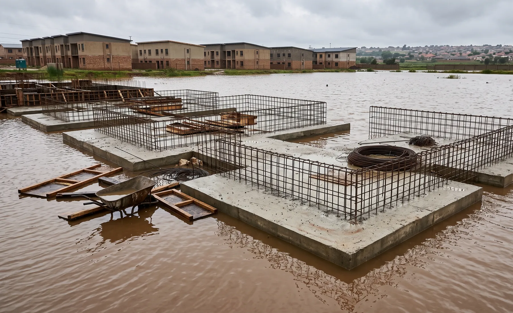
Part H contains no floodline clause — but on flood-prone ground, “actions that can reasonably be expected” quietly does a lot of work. Periodic inundation changes the foundation design problem: saturated soils lose bearing capacity, flowing water scours around footings, expansive clays cycle through wetting and drying, and hydrostatic pressure acts on basements and slabs. A foundation designed as if the ground were permanently dry, on ground that demonstrably is not, has a Part H problem even though the word “flood” never appears. In practice, this is where a competent person’s rational design — informed by how often and how deep the site actually floods — replaces the standard recipes.
Door 2: the Building Standards Act — the refusal power
The National Building Regulations exist under the National Building Regulations and Building Standards Act (Act 103 of 1977), and the Act itself gives local authorities the decisive flood power: building plans must be refused where the building would be erected on a site that is subject to flooding, or would be dangerous to life or property. This — not SANS 10400 — is the legal basis on which municipalities ask the questions that stall submissions near watercourses:
- Where is the floodline relative to the proposed building?
- What design event does it represent, and who determined it?
Most municipalities operationalise this through floodline policies — commonly requiring development outside the 1:100-year line, sometimes with additional controls to the 1:50-year line — and back it with a further statute:
Door 3: the National Water Act — the 100-year floodline on plans
Section 144 of the National Water Act (Act 36 of 1998) requires that township layout plans show the 1:100-year floodline (or the highest recorded flood level where it is higher), specifically so that everyone affected can see the flood hazard. This is why a floodline determination is routinely a precondition for township establishment, subdivision, and rezoning — and why the floodline on an approved layout plan follows the property into every subsequent building-plan decision. For what the 1:100-year event actually means in probability terms, see our explainer on return periods.
What this means for your building plan, practically
- If your site is near any watercourse — including a modest stream or drainage line — establish the floodline before you design, not when the building control officer asks. A floodline determination answers the authority’s question in the form it expects.
- If the site or part of it falls inside the floodline, options exist — repositioning, raised floor levels, engineering measures — but they are negotiated with the authority on the strength of proper analysis, not asserted. A flood risk assessment quantifies depths, velocities, and frequencies so those conversations are about numbers rather than opinions.
- If you are building on flood-prone ground with approval, flag it to the structural engineer early: the Part H foundation design should reflect the real ground conditions, and the flood study provides exactly the inputs it needs.
The pattern across all three doors is the same: the regulations do not prohibit you from dealing with flood risk — they prohibit you from ignoring it. Establish the numbers early and each of these requirements becomes a design input rather than a refusal. If you are unsure which applies to your site, ask us — it is usually a five-minute answer.
Working on a site where flooding, stormwater, or floodlines are a concern? Send us a message about it and we’ll reply within one business day — no obligation.
Talk to an engineer