

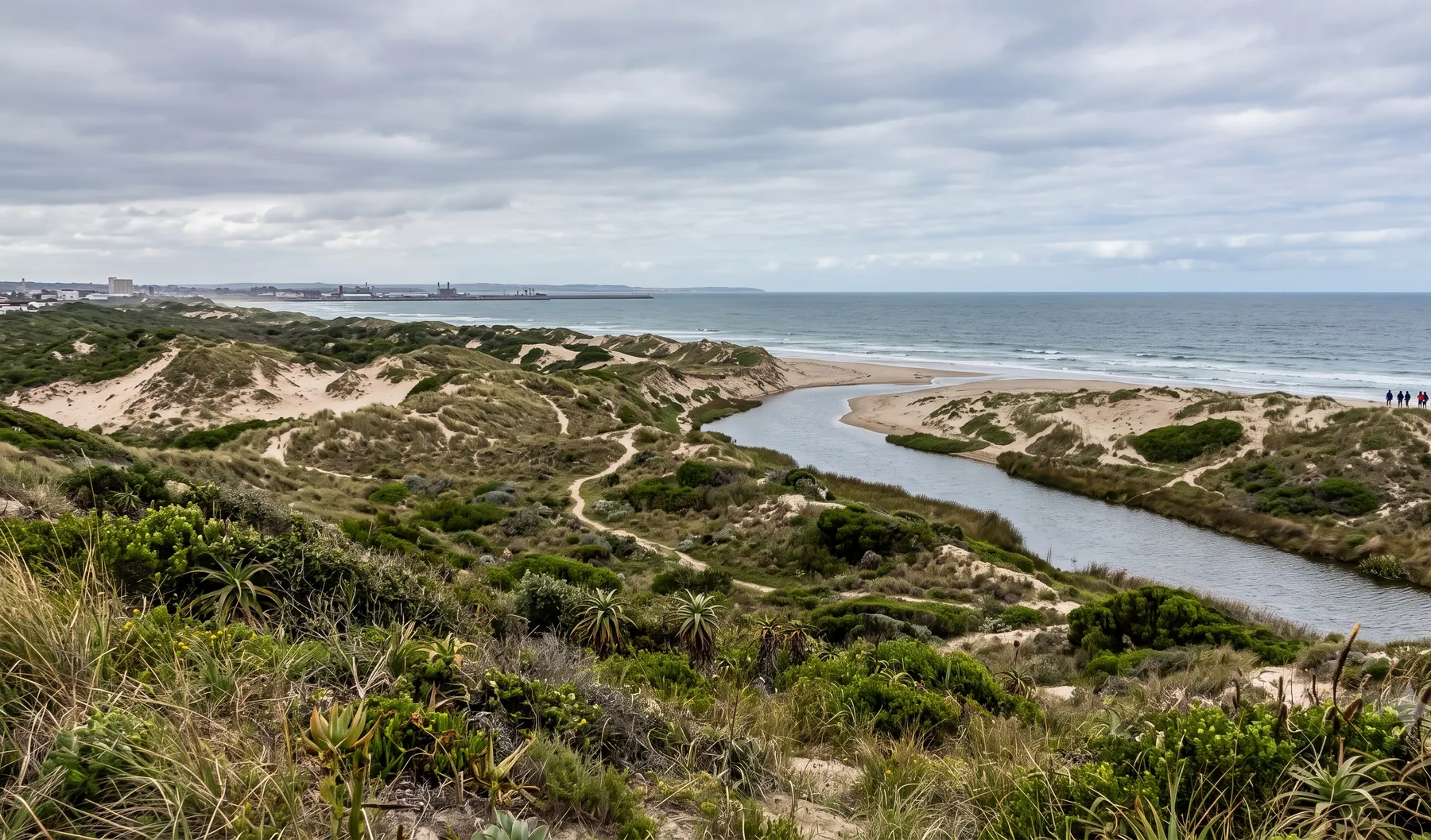
How we help in Gqeberha
Risk framing is especially useful where multiple failure modes exist—pluvial, fluvial, and infrastructure interactions. In Gqeberha (Port Elizabeth), Coastal cut-off lows and frontal systems interact with catchments draining toward Algoa Bay; urban growth pressures stormwater capacity. Our team supports projects across Eastern Cape with studies scoped for municipal and DWS review cycles.
Gqeberha (Port Elizabeth) sits within Eastern Cape, where Nelson Mandela Bay municipal processes govern flood studies and stormwater compliance for industrial and residential expansion. For this service, we emphasise defensible hydrology, clear assumptions, and deliverables that integrate with your professional team—survey, civils, and environmental practitioners—so approvals move without rework.
When do you need this?
- Due diligence for acquisitions, financing, or insurance placement
- Comparing layout alternatives where flood mechanisms differ by option
- Safety and consequence studies for people, infrastructure, and the environment
- Post-event forensic review to separate pluvial, fluvial, and infrastructure causes
Full service detail
Methodology, deliverables, standards, and FAQs are maintained on the national service page—updated as regulations and municipal guidance evolve.
Read: Flood Risk Assessment in South Africa →Related services in Gqeberha
Further reading
- SANS 10400-H and Flood Risk: What It Means for Your Building Plan
- Flood Risk Assessment for Property Developers: When You Need One and What's Included
- Rezoning and Subdivision: Why a Floodline Comes Before Your Planning Submission
- Property-Level Flood Scoring vs Catchment-Scale Hazard Layers: When Does Each Matter?
Ready to brief a study?
Contact Delta Hydro →Exploring in-house analysis? See deltahydro.tech .