

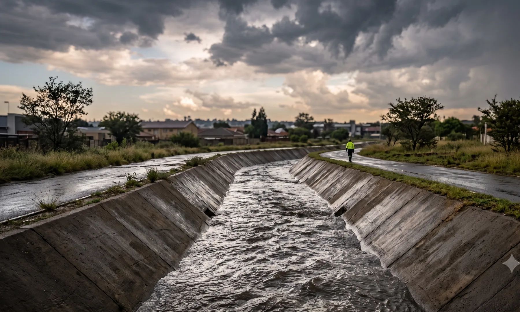
How we help in Johannesburg
Flood risk assessment quantifies hazard, exposure, and consequence so decision-makers can compare mitigation options with confidence. The December 2022 floods affected more than 10 000 people, and the worst-hit areas were informal settlements near rivers, below the flood lines. A flash flood on the Jukskei killed 14 people at Bramley Park. The City's own map lists flood hotspots from Ivory Park to Kliptown.
North of the Witwatersrand ridge, the Jukskei, Braamfontein Spruit and Klein Jukskei drain to the Crocodile River; south of it, the Klipspruit and Klip River drain Soweto and the southern suburbs to the Vaal. Our Johannesburg guide covers the rivers, recent floods and local rules in more detail.
When do you need this?
- Due diligence for acquisitions, financing, or insurance placement
- Comparing layout alternatives where flood mechanisms differ by option
- Safety and consequence studies for people, infrastructure, and the environment
- Post-event forensic review to separate pluvial, fluvial, and infrastructure causes
Full service detail
Methodology, deliverables, standards, and FAQs are maintained on the national service page—updated as regulations and municipal guidance evolve.
Read: Flood Risk Assessment in South Africa →Related services in Johannesburg
Further reading
- Building Near a River in South Africa: Every Law That Applies to Your Site
- How to Check if a Property Is in a Floodline: Municipal Flood Maps, City by City
- Floodline, Riparian Zone, 32 m or 100 m? The Lines That Control Building Near a River
- Who Must Assess Flood Risk? The Disaster Management Act and the Climate Change Act
Ready to brief a study?
Contact Delta HydroExploring in-house analysis? See deltahydro.tech .