

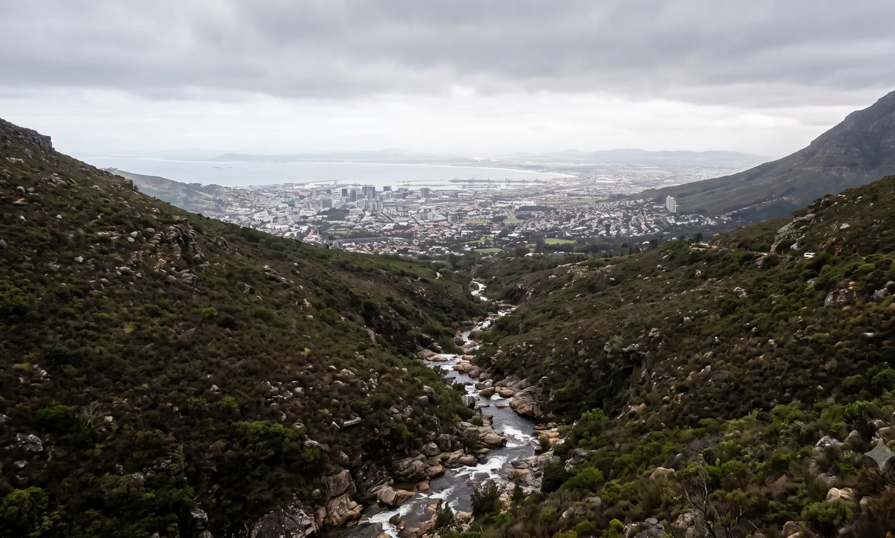
How we help in Cape Town
We optimise for constructability, lifecycle cost, and compliance with applicable geometric and hydraulic standards. Drainage in Cape Town follows the City's Standards and Guidelines for Roads and Stormwater (v3.0, 2022), which set the design rainfall grid and floor levels at least 250 mm above the 1:100-year energy level for new urban developments.
Most of the work is on the Salt River system (the Liesbeek, Black and Elsieskraal), the Diep and Mosselbank in the north, the Kuils and Eerste flowing to False Bay, and the canalised rivers of the Cape Flats. Our Cape Town guide covers the rivers, recent floods and local rules in more detail.
When do you need this?
- New roads, upgrades, and intersection drainage
- Urban precincts requiring networked stormwater systems
- Rural roads with aggressive runoff and erosion risk
Full service detail
Methodology, deliverables, standards, and FAQs are maintained on the national service page—updated as regulations and municipal guidance evolve.
Read: Drainage Design in South Africa →Related services in Cape Town
Further reading
Ready to brief a study?
Contact Delta Hydro